1621 Aldine Mail Route Rd Houston, TX 77039
Estimated Value: $285,000 - $396,000
3
Beds
3
Baths
1,888
Sq Ft
$172/Sq Ft
Est. Value
About This Home
This home is located at 1621 Aldine Mail Route Rd, Houston, TX 77039 and is currently estimated at $324,901, approximately $172 per square foot. 1621 Aldine Mail Route Rd is a home located in Harris County with nearby schools including Vardeman EC/PK/K, Reed Academy, and Grantham Academy.
Ownership History
Date
Name
Owned For
Owner Type
Purchase Details
Closed on
Oct 29, 2004
Sold by
Chappell William R and Chappell Dianne
Bought by
Ventura Gervis
Current Estimated Value
Home Financials for this Owner
Home Financials are based on the most recent Mortgage that was taken out on this home.
Original Mortgage
$157,500
Outstanding Balance
$84,895
Interest Rate
7%
Mortgage Type
Purchase Money Mortgage
Estimated Equity
$240,006
Create a Home Valuation Report for This Property
The Home Valuation Report is an in-depth analysis detailing your home's value as well as a comparison with similar homes in the area
Home Values in the Area
Average Home Value in this Area
Purchase History
| Date | Buyer | Sale Price | Title Company |
|---|---|---|---|
| Ventura Gervis | -- | Stewart Title Houston Div |
Source: Public Records
Mortgage History
| Date | Status | Borrower | Loan Amount |
|---|---|---|---|
| Open | Ventura Gervis | $157,500 |
Source: Public Records
Tax History Compared to Growth
Tax History
| Year | Tax Paid | Tax Assessment Tax Assessment Total Assessment is a certain percentage of the fair market value that is determined by local assessors to be the total taxable value of land and additions on the property. | Land | Improvement |
|---|---|---|---|---|
| 2025 | $3,516 | $296,271 | $48,400 | $247,871 |
| 2024 | $3,516 | $365,136 | $48,400 | $316,736 |
| 2023 | $3,516 | $369,878 | $48,400 | $321,478 |
| 2022 | $4,285 | $248,159 | $36,300 | $211,859 |
| 2021 | $4,084 | $238,939 | $36,300 | $202,639 |
| 2020 | $3,913 | $234,200 | $36,300 | $197,900 |
| 2019 | $3,022 | $0 | $0 | $0 |
| 2018 | $1,889 | $156,581 | $18,150 | $138,431 |
| 2017 | $3,549 | $156,581 | $18,150 | $138,431 |
| 2016 | $3,432 | $156,581 | $18,150 | $138,431 |
| 2015 | $2,434 | $145,077 | $18,150 | $126,927 |
| 2014 | $2,434 | $125,167 | $12,100 | $113,067 |
Source: Public Records
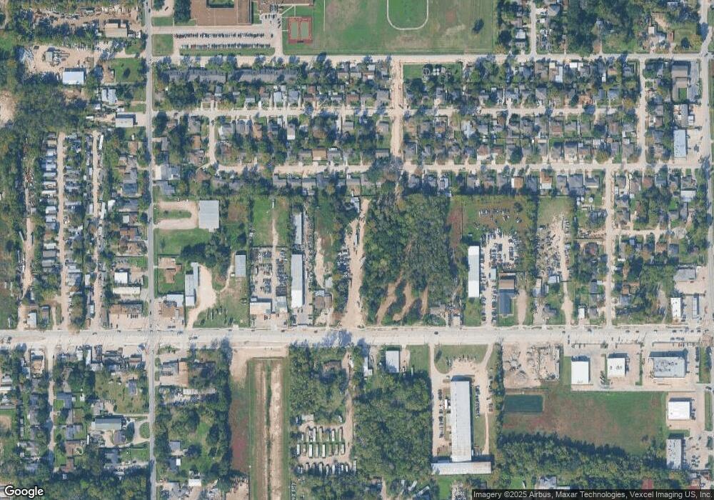
Map
Nearby Homes
- 13310 Robertcrest St Unit B
- 1810 Connorvale Rd
- 13113 Reeveston Rd
- 13635 Reeveston Rd
- 13530 Luthe Rd
- 1720 Strawn Rd
- 12123 Steeple Ln
- 1730 Strawn Rd
- 28351 W Hardy Rd
- 1722 Strawn Rd
- 1725 Strawn Rd
- 12969 W Hardy Rd
- 13917 Chrisman Rd
- 13920 Reeveston Rd
- 2434 Balmorhea Ave
- 1916 Gault Rd
- 2438 Balmorhea Ave
- 13610 Carmilenda St
- 2611 Lauder Rd
- 14215 Sweeney Rd
- 1626 Debeney Dr
- 1622 Debeney Dr
- 1630 Debeney Dr
- 1618 Debeney Dr
- 1634 Debeney Dr
- 1614 Debeney Dr
- 1623 Debeney Dr
- 1627 Debeney Dr
- 1619 Debeney Dr
- 1610 Debeney Dr
- 1631 Debeney Dr
- 1702 Debeney Dr
- 1615 Debeney Dr
- 1611 Debeney Dr
- 1606 Debeney Dr
- 1622 Charriton Dr
- 1626 Charriton Dr
- 1618 Charriton Dr
- 1710 Debeney Dr
- 1703 Debeney Dr