Estimated Value: $413,000 - $461,000
4
Beds
3
Baths
3,229
Sq Ft
$136/Sq Ft
Est. Value
About This Home
This home is located at 1621 Castle Rock Rd, Yukon, OK 73099 and is currently estimated at $439,071, approximately $135 per square foot. 1621 Castle Rock Rd is a home located in Canadian County with nearby schools including Central Elementary School, Independence Elementary School, and Yukon Middle School.
Ownership History
Date
Name
Owned For
Owner Type
Purchase Details
Closed on
Jun 27, 2013
Sold by
Peles Jeffrey A and Peles Patricia D
Bought by
Cornelius Bernard and Cornelius Anita H
Current Estimated Value
Home Financials for this Owner
Home Financials are based on the most recent Mortgage that was taken out on this home.
Original Mortgage
$213,600
Outstanding Balance
$49,707
Interest Rate
3.63%
Estimated Equity
$389,364
Purchase Details
Closed on
Apr 28, 2000
Sold by
Montgomery Randall D and Montgomery Diana S
Purchase Details
Closed on
Dec 22, 1994
Sold by
C & S Development Co Inc
Create a Home Valuation Report for This Property
The Home Valuation Report is an in-depth analysis detailing your home's value as well as a comparison with similar homes in the area
Home Values in the Area
Average Home Value in this Area
Purchase History
| Date | Buyer | Sale Price | Title Company |
|---|---|---|---|
| Cornelius Bernard | $267,000 | Ort | |
| -- | $238,000 | -- | |
| -- | $25,000 | -- |
Source: Public Records
Mortgage History
| Date | Status | Borrower | Loan Amount |
|---|---|---|---|
| Open | Cornelius Bernard | $213,600 |
Source: Public Records
Tax History Compared to Growth
Tax History
| Year | Tax Paid | Tax Assessment Tax Assessment Total Assessment is a certain percentage of the fair market value that is determined by local assessors to be the total taxable value of land and additions on the property. | Land | Improvement |
|---|---|---|---|---|
| 2024 | $4,195 | $40,659 | $3,900 | $36,759 |
| 2023 | $4,195 | $38,723 | $3,900 | $34,823 |
| 2022 | $4,014 | $36,879 | $3,900 | $32,979 |
| 2021 | $3,834 | $35,123 | $3,900 | $31,223 |
| 2020 | $3,607 | $33,450 | $3,900 | $29,550 |
| 2019 | $3,707 | $34,273 | $3,900 | $30,373 |
| 2018 | $3,710 | $34,192 | $3,900 | $30,292 |
| 2017 | $3,740 | $34,464 | $3,900 | $30,564 |
| 2016 | $3,821 | $35,337 | $3,900 | $31,437 |
| 2015 | $3,769 | $33,510 | $3,900 | $29,610 |
| 2014 | $3,769 | $34,191 | $3,900 | $30,291 |
Source: Public Records
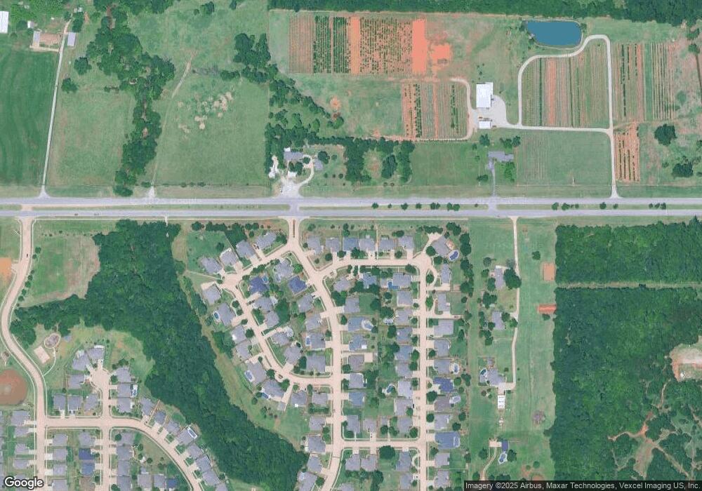
Map
Nearby Homes
- 409 Frisco Ridge Rd
- 0 U S Route 66
- 1101 W Main St
- 1805 Hobo St
- 632 Signalman
- 1913 Tinder St
- 1016 Maple Ave
- 1004 Cedar Ave
- 613 Side Track Rd
- 417 Garth Brooks Blvd
- 611 Garth Brooks Blvd
- 9116 Anaum Ln
- 624 Frisco Ridge Rd
- 709 Maple St
- 11325 SW 34th Terrace
- 600 S 8th St
- 705 Yukon Ave
- 601 S 8th St
- 621 Yukon Ave
- 2117 Aminas Way
- 1625 Castle Rock Rd
- 1617 Castle Rock Rd
- 101 Kingsgate Rd
- 1620 Castle Rock Rd
- 1616 Castle Rock Rd
- 1609 Castle Rock Rd
- 209 Kingsgate Rd
- 1608 Castle Rock Rd
- 204 Kingsgate Rd
- 1701 W Highway 66
- 208 Kingsgate Rd
- 204 Castle Rock Rd
- 213 Kingsgate Rd
- 1700 Rock Creek Rd
- 200 Kingsgate Rd
- 205 Rock Creek Rd
- 212 Kingsgate Rd
- 208 Castle Rock Rd
- 1605 Castle Rock Rd
- 217 Kingsgate Rd