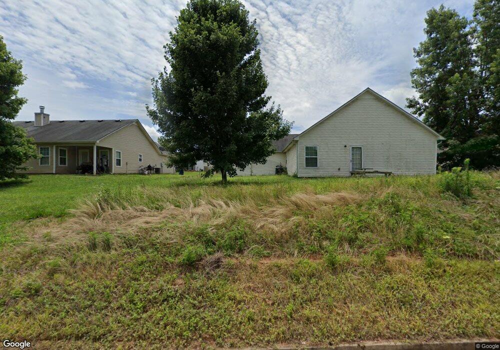
1621 Coal Shovel Trail NE Conyers, GA 30013
Estimated Value: $237,000 - $264,000
3
Beds
2
Baths
1,500
Sq Ft
$167/Sq Ft
Est. Value
About This Home
This home is located at 1621 Coal Shovel Trail NE, Conyers, GA 30013 and is currently estimated at $250,602, approximately $167 per square foot. 1621 Coal Shovel Trail NE is a home located in Rockdale County with nearby schools including Flat Shoals Elementary School, Memorial Middle School, and Salem High School.
Ownership History
Date
Name
Owned For
Owner Type
Purchase Details
Closed on
Mar 15, 2005
Sold by
R & B Const Inc
Bought by
Burrell Elfriede L
Current Estimated Value
Home Financials for this Owner
Home Financials are based on the most recent Mortgage that was taken out on this home.
Original Mortgage
$129,311
Outstanding Balance
$65,601
Interest Rate
5.62%
Mortgage Type
VA
Estimated Equity
$185,001
Create a Home Valuation Report for This Property
The Home Valuation Report is an in-depth analysis detailing your home's value as well as a comparison with similar homes in the area
Home Values in the Area
Average Home Value in this Area
Purchase History
| Date | Buyer | Sale Price | Title Company |
|---|---|---|---|
| Burrell Elfriede L | $130,400 | -- |
Source: Public Records
Mortgage History
| Date | Status | Borrower | Loan Amount |
|---|---|---|---|
| Open | Burrell Elfriede L | $129,311 |
Source: Public Records
Tax History Compared to Growth
Tax History
| Year | Tax Paid | Tax Assessment Tax Assessment Total Assessment is a certain percentage of the fair market value that is determined by local assessors to be the total taxable value of land and additions on the property. | Land | Improvement |
|---|---|---|---|---|
| 2024 | $1,630 | $97,040 | $20,880 | $76,160 |
| 2023 | $1,293 | $88,200 | $18,800 | $69,400 |
| 2022 | $1,138 | $69,880 | $14,400 | $55,480 |
| 2021 | $1,249 | $55,120 | $10,000 | $45,120 |
| 2020 | $1,049 | $48,800 | $8,840 | $39,960 |
| 2019 | $762 | $38,640 | $8,000 | $30,640 |
| 2018 | $767 | $38,640 | $8,000 | $30,640 |
| 2017 | $669 | $35,200 | $8,000 | $27,200 |
| 2016 | $484 | $30,520 | $7,600 | $22,920 |
| 2015 | $372 | $26,600 | $4,600 | $22,000 |
| 2014 | $340 | $26,600 | $4,600 | $22,000 |
| 2013 | -- | $31,080 | $6,400 | $24,680 |
Source: Public Records
Map
Nearby Homes
- 2260 Ashton Ridge Dr SE
- 2100 NE Adel Rd
- The Norwood II Plan at Glendale Towns
- The Maddux II Plan at Glendale Towns
- The Ellison II Plan at Glendale Towns
- 2222 Ashton Dr
- 1440 Steam Engine Way NE
- 1450 Steam Engine Way NE
- 1432 Steam Engine Way NE
- 2676 NE Almand Ln
- 1509 Aralynn Way Unit 1
- 0 N Salem Old Covington Rd Unit 10848564
- 0 Salem Rd SE Unit 7530411
- 0 Salem Rd SE Unit 10465802
- 2381 Iris Dr SE
- 250 Rockdale Dr NE
- 2516 Riverside Rd
- 2522 Riverside Rd
- 2548 Riverside Rd
- 2514 Riverside Rd
- 1208 Steam Engine Way NE
- 1400 Steam Engine Way NE
- 0 Coal Shovel Trail NE Unit 7357320
- 0 Coal Shovel Trail NE Unit 3151334
- 0 Coal Shovel Trail NE Unit 8719588
- 0 Coal Shovel Trail NE Unit 3238758
- 0 Coal Shovel Trail NE Unit 3188506
- 1619 Coal Shovel Trail NE
- 1402 Steam Engine Way NE
- 1607 Coal Shovel Trail NE
- 1605 Coal Shovel Trail NE
- 1620 Coal Shovel Trail NE
- 1622 Coal Shovel Trail NE
- 1618 Coal Shovel Trail NE
- 1603 Coal Shovel Trail NE
- 1401 Steam Engine Way NE
- 1616 Coal Shovel Trail NE
- 1406 Steam Engine Way NE
- 1403 Steam Engine Way NE
- 1627 Boxcar Place NE