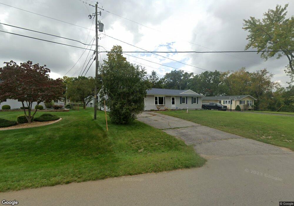
1621 Duguid Rd Jackson, MI 49203
Estimated Value: $182,000 - $206,000
3
Beds
2
Baths
1,080
Sq Ft
$178/Sq Ft
Est. Value
About This Home
This home is located at 1621 Duguid Rd, Jackson, MI 49203 and is currently estimated at $192,668, approximately $178 per square foot. 1621 Duguid Rd is a home located in Jackson County with nearby schools including Townsend Elementary School, Vandercook Lake High School, and Francis Street Primary School.
Ownership History
Date
Name
Owned For
Owner Type
Purchase Details
Closed on
Mar 15, 2010
Sold by
Richards Carol M
Bought by
Oberlin Mark A
Current Estimated Value
Purchase Details
Closed on
Feb 6, 2004
Sold by
Oberlin Mark A
Bought by
Oberlin Mark A and Oberlin Christean M
Home Financials for this Owner
Home Financials are based on the most recent Mortgage that was taken out on this home.
Original Mortgage
$69,153
Interest Rate
5.5%
Mortgage Type
Seller Take Back
Create a Home Valuation Report for This Property
The Home Valuation Report is an in-depth analysis detailing your home's value as well as a comparison with similar homes in the area
Home Values in the Area
Average Home Value in this Area
Purchase History
| Date | Buyer | Sale Price | Title Company |
|---|---|---|---|
| Oberlin Mark A | -- | None Available | |
| Oberlin Mark A | -- | -- | |
| Oberlin Mark A | $76,000 | -- | |
| Oberlin Mark A | -- | -- | |
| Richards Carol M | -- | -- |
Source: Public Records
Mortgage History
| Date | Status | Borrower | Loan Amount |
|---|---|---|---|
| Previous Owner | Oberlin Mark A | $69,153 |
Source: Public Records
Tax History Compared to Growth
Tax History
| Year | Tax Paid | Tax Assessment Tax Assessment Total Assessment is a certain percentage of the fair market value that is determined by local assessors to be the total taxable value of land and additions on the property. | Land | Improvement |
|---|---|---|---|---|
| 2025 | $2,646 | $78,800 | $0 | $0 |
| 2024 | $1,344 | $82,400 | $0 | $0 |
| 2023 | $1,293 | $75,700 | $0 | $0 |
| 2022 | $2,475 | $66,500 | $0 | $0 |
| 2021 | $2,038 | $72,200 | $0 | $0 |
| 2020 | $2,019 | $69,200 | $0 | $0 |
| 2019 | $2,263 | $66,000 | $0 | $0 |
| 2018 | $2,158 | $60,800 | $0 | $0 |
| 2017 | $1,592 | $58,200 | $0 | $0 |
| 2016 | $1,109 | $56,700 | $56,700 | $0 |
| 2015 | $1,760 | $49,400 | $49,400 | $0 |
| 2014 | $1,760 | $47,200 | $47,200 | $0 |
| 2013 | -- | $47,200 | $47,200 | $0 |
Source: Public Records
Map
Nearby Homes
- 1654 Duguid Rd
- 1622 Gary Paul Ln
- 1657 Foye Dr
- 4014 Kingston Ct
- 120 Charles St
- 3605 Francis St
- 131 Gaunt Ave
- 108 Gaunt Ave
- 105 Trumble Ave
- VL Spring Arbor Rd
- 4700 Nantucket Dr Unit 15
- 4600 Nantucket Dr Unit 9
- 4600 Nantucket Dr Unit 11
- 4600 Nantucket Dr Unit 12
- 4600 Nantucket Dr Unit 10
- 4900 Nantucket Dr Unit 1
- 4900 Nantucket Dr Unit 2
- 4800 Nantucket Dr Unit 4
- 4700 Nantucket Dr Unit 6
- 4700 Nantucket Dr Unit 13
- 1625 Duguid Rd
- 1617 Duguid Rd
- 1704 Park Dr
- 3600 Greentree Rd
- 3604 Greentree Rd
- 1708 Park Dr
- 1628 Duguid Rd
- 1600 Duguid Rd
- 3608 Greentree Rd
- 1600 Foye Dr
- 1710 Park Dr
- 1630 Duguid Rd
- 1712 Park Dr
- 1631 Duguid Rd
- 1625 Foye Dr
- 3612 Greentree Rd
- 1634 Duguid Rd
- 3605 Greentree Rd
- 1629 Foye Dr
- 3609 Greentree Rd