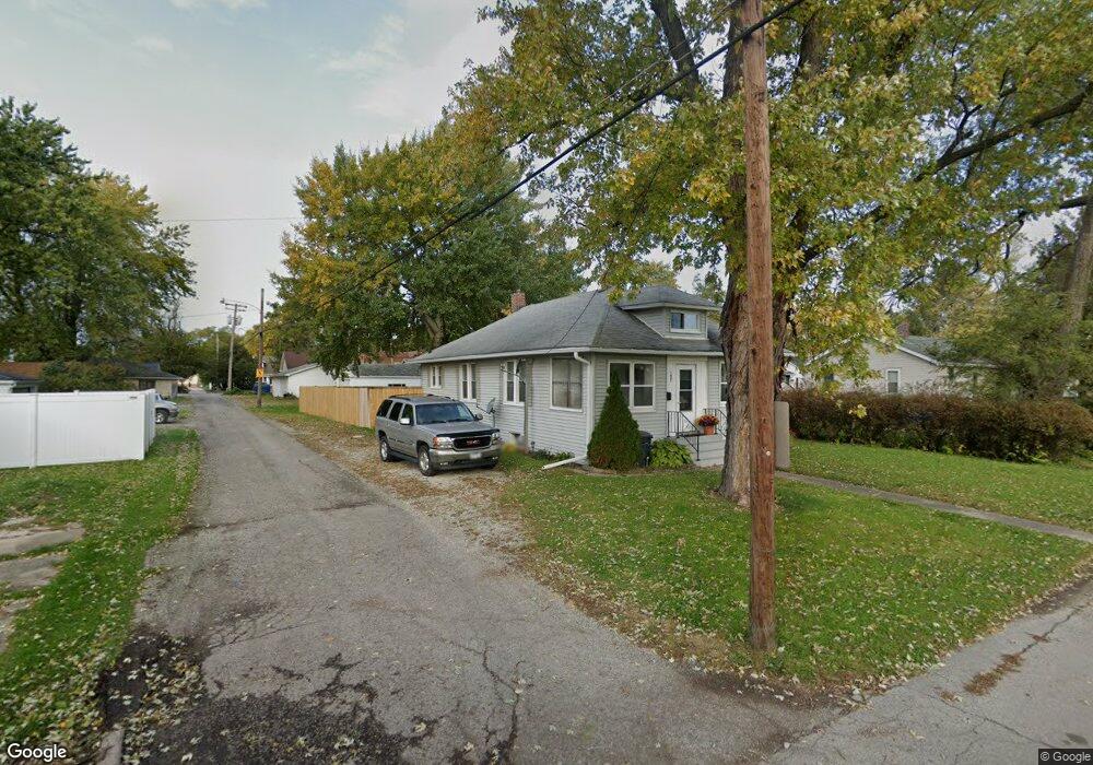
1621 Guion St Ottawa, IL 61350
Estimated Value: $110,000 - $162,000
2
Beds
1
Bath
925
Sq Ft
$142/Sq Ft
Est. Value
About This Home
This home is located at 1621 Guion St, Ottawa, IL 61350 and is currently estimated at $131,078, approximately $141 per square foot. 1621 Guion St is a home located in LaSalle County with nearby schools including Ottawa Township High School, Marquette Academy, and Marquette Elementary School.
Ownership History
Date
Name
Owned For
Owner Type
Purchase Details
Closed on
Apr 2, 2008
Sold by
Fannie Mae
Bought by
Marshall Ed and Marshall Mary Ann
Current Estimated Value
Purchase Details
Closed on
Apr 25, 2005
Sold by
Tipple Paul J and Tipple Tracy R
Bought by
Law Robert E
Home Financials for this Owner
Home Financials are based on the most recent Mortgage that was taken out on this home.
Original Mortgage
$79,000
Interest Rate
5.89%
Mortgage Type
New Conventional
Create a Home Valuation Report for This Property
The Home Valuation Report is an in-depth analysis detailing your home's value as well as a comparison with similar homes in the area
Home Values in the Area
Average Home Value in this Area
Purchase History
| Date | Buyer | Sale Price | Title Company |
|---|---|---|---|
| Marshall Ed | $60,000 | First American Title | |
| Law Robert E | $79,000 | None Available |
Source: Public Records
Mortgage History
| Date | Status | Borrower | Loan Amount |
|---|---|---|---|
| Previous Owner | Law Robert E | $79,000 |
Source: Public Records
Tax History Compared to Growth
Tax History
| Year | Tax Paid | Tax Assessment Tax Assessment Total Assessment is a certain percentage of the fair market value that is determined by local assessors to be the total taxable value of land and additions on the property. | Land | Improvement |
|---|---|---|---|---|
| 2024 | $3,227 | $31,329 | $3,685 | $27,644 |
| 2023 | $2,953 | $28,040 | $3,298 | $24,742 |
| 2022 | $2,717 | $25,449 | $5,910 | $19,539 |
| 2021 | $2,565 | $23,853 | $5,539 | $18,314 |
| 2020 | $2,424 | $22,659 | $5,262 | $17,397 |
| 2019 | $2,481 | $22,428 | $5,208 | $17,220 |
| 2018 | $2,419 | $21,890 | $5,083 | $16,807 |
| 2017 | $2,336 | $21,219 | $4,927 | $16,292 |
| 2016 | $2,244 | $20,309 | $4,716 | $15,593 |
| 2015 | -- | $19,374 | $4,499 | $14,875 |
| 2012 | -- | $21,180 | $4,919 | $16,261 |
Source: Public Records
Map
Nearby Homes
- 1913 Columbus St
- 213 Deleon St
- 1845 La Salle St
- 1125 Paul St
- 1116 Paul St
- 321 E Washington St
- 1013 Guion St
- 1402 Champlain St
- 1967 Alinda Ave
- 2117 Fox Chase Dr Unit 2119
- 2125 Fox Chase Dr
- 2103 Franklin Ave
- 542 Chapel St
- 1819 Boyce Ln
- 1901 Chestnut St
- 326 Congress St
- 638 Pearl St
- 2011 Caton Rd
- 216 Forest Park Place
- 806 Fulton St
- 323 Nebraska St
- 321 Nebraska St
- 319 Nebraska St
- 328 E Norris Dr
- 313 Nebraska St
- 1618 Guion St
- 1620 Guion St
- 322 E Norris Dr
- 1628 Guion St
- 316 E Norris Dr
- 400 E Norris Dr
- 312 E Norris Dr
- 408 E Norris Dr
- 326 Nebraska St
- 301 Nebraska St
- 324 Nebraska St
- 306 E Norris Dr
- 1702 Guion St
- 320 Nebraska St
- 312 Nebraska St