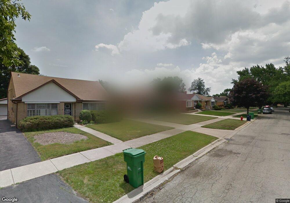
1621 Highridge Pkwy Westchester, IL 60154
Estimated Value: $247,000 - $342,000
2
Beds
1
Bath
992
Sq Ft
$319/Sq Ft
Est. Value
About This Home
This home is located at 1621 Highridge Pkwy, Westchester, IL 60154 and is currently estimated at $316,702, approximately $319 per square foot. 1621 Highridge Pkwy is a home located in Cook County with nearby schools including Westchester Primary School, Westchester Intermediate School, and Westchester Middle School.
Ownership History
Date
Name
Owned For
Owner Type
Purchase Details
Closed on
Sep 23, 2016
Sold by
Giannamore Frank J
Bought by
Montalto Steven A
Current Estimated Value
Home Financials for this Owner
Home Financials are based on the most recent Mortgage that was taken out on this home.
Original Mortgage
$133,000
Outstanding Balance
$106,474
Interest Rate
3.5%
Mortgage Type
New Conventional
Estimated Equity
$210,228
Purchase Details
Closed on
Nov 19, 2011
Sold by
Golembeski Gentiline A
Bought by
Golembeski Gentiline A
Create a Home Valuation Report for This Property
The Home Valuation Report is an in-depth analysis detailing your home's value as well as a comparison with similar homes in the area
Home Values in the Area
Average Home Value in this Area
Purchase History
| Date | Buyer | Sale Price | Title Company |
|---|---|---|---|
| Montalto Steven A | $140,000 | Attorney | |
| Golembeski Gentiline A | -- | None Available |
Source: Public Records
Mortgage History
| Date | Status | Borrower | Loan Amount |
|---|---|---|---|
| Open | Montalto Steven A | $133,000 |
Source: Public Records
Tax History Compared to Growth
Tax History
| Year | Tax Paid | Tax Assessment Tax Assessment Total Assessment is a certain percentage of the fair market value that is determined by local assessors to be the total taxable value of land and additions on the property. | Land | Improvement |
|---|---|---|---|---|
| 2024 | $6,478 | $28,000 | $4,795 | $23,205 |
| 2023 | $5,570 | $28,000 | $4,795 | $23,205 |
| 2022 | $5,570 | $21,678 | $4,110 | $17,568 |
| 2021 | $5,418 | $21,678 | $4,110 | $17,568 |
| 2020 | $5,360 | $21,678 | $4,110 | $17,568 |
| 2019 | $4,338 | $18,785 | $3,767 | $15,018 |
| 2018 | $4,280 | $18,785 | $3,767 | $15,018 |
| 2017 | $5,137 | $18,785 | $3,767 | $15,018 |
| 2016 | $5,104 | $17,501 | $3,425 | $14,076 |
| 2015 | $3,744 | $17,501 | $3,425 | $14,076 |
| 2014 | $3,684 | $17,501 | $3,425 | $14,076 |
| 2013 | $3,855 | $19,843 | $3,425 | $16,418 |
Source: Public Records
Map
Nearby Homes
- 1413 Highridge Pkwy
- 1847 Boeger Ave
- 1905 S Wolf Rd Unit 302
- 11157 Shaw St
- 1948 Boeger Ave
- 1326 Heidorn Ave
- 1327 S Wolf Rd
- 1242 Heidorn Ave
- 2130 Mandel Ave
- 1811 Downing Ave
- 1860 Buckingham Ave
- 10567 Waterford Dr
- 2205 Mayfair Ave
- 2300 Boeger Ave
- 10630 W Cermak Rd Unit 2E
- 10531 Camelot St
- 10524 Camelot St
- 11140 Windsor Dr
- 2337 Kensington Ave
- 2401 Mayfair Ave
- 1617 Highridge Pkwy
- 1625 Highridge Pkwy
- 1629 Highridge Pkwy
- 1613 Highridge Pkwy
- 1620 Mandel Ave
- 1616 Mandel Ave
- 1624 Mandel Ave
- 1633 Highridge Pkwy Unit 2
- 1609 Highridge Pkwy
- 1612 Mandel Ave
- 1628 Mandel Ave
- 1620 Highridge Pkwy
- 1608 Mandel Ave
- 1605 Highridge Pkwy
- 1616 Highridge Pkwy
- 1637 Highridge Pkwy
- 1624 Highridge Pkwy
- 1632 Mandel Ave
- 1612 Highridge Pkwy
- 1628 Highridge Pkwy