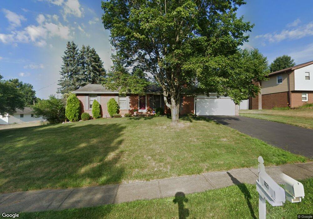
1621 Hiram St Louisville, OH 44641
Estimated Value: $216,676 - $239,000
3
Beds
2
Baths
1,176
Sq Ft
$191/Sq Ft
Est. Value
About This Home
This home is located at 1621 Hiram St, Louisville, OH 44641 and is currently estimated at $225,169, approximately $191 per square foot. 1621 Hiram St is a home located in Stark County with nearby schools including Louisville High School.
Ownership History
Date
Name
Owned For
Owner Type
Purchase Details
Closed on
Feb 22, 2019
Sold by
Markovic Marjan and Markovic Maria
Bought by
Markovic Mario and Markovic Maria
Current Estimated Value
Purchase Details
Closed on
Aug 12, 2004
Sold by
Roshong Judith E and Gulling Pamela B
Bought by
Markovic Mario and Markovic Maria
Home Financials for this Owner
Home Financials are based on the most recent Mortgage that was taken out on this home.
Original Mortgage
$89,000
Interest Rate
6.35%
Mortgage Type
Purchase Money Mortgage
Purchase Details
Closed on
Jun 4, 2003
Sold by
Roshong Judith E
Bought by
Roshong Judith E and Gulling Pamela B
Home Financials for this Owner
Home Financials are based on the most recent Mortgage that was taken out on this home.
Original Mortgage
$117,000
Interest Rate
5.51%
Mortgage Type
Purchase Money Mortgage
Purchase Details
Closed on
Jul 28, 1999
Sold by
Moulin Timothy L and Moulin Jodie L
Bought by
Roshong James P and Roshong Judith E
Home Financials for this Owner
Home Financials are based on the most recent Mortgage that was taken out on this home.
Original Mortgage
$94,300
Interest Rate
7.69%
Mortgage Type
Purchase Money Mortgage
Purchase Details
Closed on
Jun 9, 1995
Sold by
Hall Jayne C
Bought by
Moulin Timothy L and Moulin Jodie
Home Financials for this Owner
Home Financials are based on the most recent Mortgage that was taken out on this home.
Original Mortgage
$73,000
Interest Rate
8.26%
Mortgage Type
New Conventional
Create a Home Valuation Report for This Property
The Home Valuation Report is an in-depth analysis detailing your home's value as well as a comparison with similar homes in the area
Home Values in the Area
Average Home Value in this Area
Purchase History
| Date | Buyer | Sale Price | Title Company |
|---|---|---|---|
| Markovic Mario | -- | None Available | |
| Markovic Mario | $125,000 | -- | |
| Roshong Judith E | -- | -- | |
| Roshong James P | $117,900 | -- | |
| Moulin Timothy L | $85,000 | -- |
Source: Public Records
Mortgage History
| Date | Status | Borrower | Loan Amount |
|---|---|---|---|
| Previous Owner | Markovic Mario | $89,000 | |
| Previous Owner | Roshong Judith E | $117,000 | |
| Previous Owner | Roshong James P | $94,300 | |
| Previous Owner | Moulin Timothy L | $73,000 |
Source: Public Records
Tax History Compared to Growth
Tax History
| Year | Tax Paid | Tax Assessment Tax Assessment Total Assessment is a certain percentage of the fair market value that is determined by local assessors to be the total taxable value of land and additions on the property. | Land | Improvement |
|---|---|---|---|---|
| 2025 | -- | $58,800 | $17,080 | $41,720 |
| 2024 | -- | $58,800 | $17,080 | $41,720 |
| 2023 | $2,065 | $46,910 | $13,340 | $33,570 |
| 2022 | $2,070 | $46,910 | $13,340 | $33,570 |
| 2021 | $2,076 | $46,910 | $13,340 | $33,570 |
| 2020 | $1,725 | $42,180 | $12,010 | $30,170 |
| 2019 | $1,686 | $43,400 | $13,230 | $30,170 |
| 2018 | $1,728 | $43,400 | $13,230 | $30,170 |
| 2017 | $1,570 | $38,050 | $10,960 | $27,090 |
| 2016 | $1,602 | $38,050 | $10,960 | $27,090 |
| 2015 | $1,607 | $38,050 | $10,960 | $27,090 |
| 2014 | $1,593 | $35,080 | $10,120 | $24,960 |
| 2013 | $800 | $35,080 | $10,120 | $24,960 |
Source: Public Records
Map
Nearby Homes
- 1561 Noel St
- 0 Pilot Knob Ave NE
- 6285 California Ave
- 5700 Broadway Ave
- 0 Brookridge Ave
- 0 Glenbar St
- 704 Reno Dr
- 5623 Shallow Creek Ave
- 6083 Apple St
- 5470 Alcorn Ave
- 300 Kennedy St
- 248 Menegay Rd
- 414 Honeycrisp Dr NE
- 5700 Glena St
- 6395 Easton St NE
- 3047 Mcintosh Dr NE
- 2950 Mcintosh Dr NE
- 2956 Mcintosh Dr NE
- 2962 Mcintosh Dr NE
- 2951 Mcintosh Dr NE