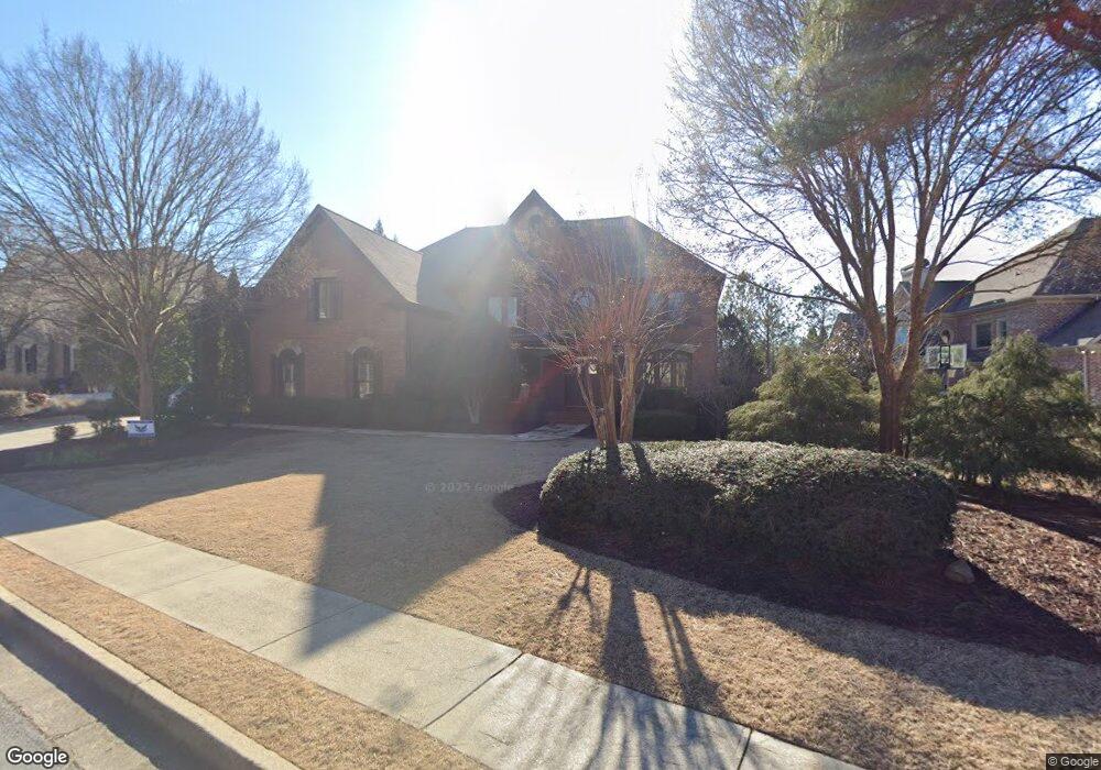
1621 Hutton Place Cumming, GA 30041
Estimated Value: $1,202,000 - $1,603,000
5
Beds
7
Baths
6,317
Sq Ft
$213/Sq Ft
Est. Value
About This Home
This home is located at 1621 Hutton Place, Cumming, GA 30041 and is currently estimated at $1,344,841, approximately $212 per square foot. 1621 Hutton Place is a home located in Forsyth County with nearby schools including Haw Creek Elementary School, Lakeside Middle School, and South Forsyth High School.
Ownership History
Date
Name
Owned For
Owner Type
Purchase Details
Closed on
Nov 3, 2011
Sold by
Bank Of New York Mellon
Bought by
Edwards Chad J
Current Estimated Value
Home Financials for this Owner
Home Financials are based on the most recent Mortgage that was taken out on this home.
Original Mortgage
$417,000
Outstanding Balance
$284,354
Interest Rate
4.02%
Mortgage Type
New Conventional
Estimated Equity
$1,060,487
Purchase Details
Closed on
Jun 9, 2011
Sold by
Landreneau Darryl J
Bought by
Jp Morgan Chase Series 2005 & 7
Purchase Details
Closed on
Jun 2, 2005
Sold by
Osley Builders Inc
Bought by
Landreneau Darryl J
Home Financials for this Owner
Home Financials are based on the most recent Mortgage that was taken out on this home.
Original Mortgage
$516,560
Interest Rate
6.13%
Mortgage Type
New Conventional
Create a Home Valuation Report for This Property
The Home Valuation Report is an in-depth analysis detailing your home's value as well as a comparison with similar homes in the area
Home Values in the Area
Average Home Value in this Area
Purchase History
| Date | Buyer | Sale Price | Title Company |
|---|---|---|---|
| Edwards Chad J | $525,000 | -- | |
| Jp Morgan Chase Series 2005 & 7 | $607,633 | -- | |
| Landreneau Darryl J | $645,700 | -- |
Source: Public Records
Mortgage History
| Date | Status | Borrower | Loan Amount |
|---|---|---|---|
| Open | Edwards Chad J | $417,000 | |
| Previous Owner | Landreneau Darryl J | $516,560 |
Source: Public Records
Tax History Compared to Growth
Tax History
| Year | Tax Paid | Tax Assessment Tax Assessment Total Assessment is a certain percentage of the fair market value that is determined by local assessors to be the total taxable value of land and additions on the property. | Land | Improvement |
|---|---|---|---|---|
| 2025 | $11,726 | $533,740 | $72,000 | $461,740 |
| 2024 | $11,726 | $478,164 | $68,000 | $410,164 |
| 2023 | $11,616 | $471,928 | $60,000 | $411,928 |
| 2022 | $9,210 | $299,548 | $32,000 | $267,548 |
| 2021 | $8,272 | $299,548 | $32,000 | $267,548 |
| 2020 | $7,319 | $265,056 | $32,000 | $233,056 |
| 2019 | $7,205 | $260,556 | $32,000 | $228,556 |
| 2018 | $7,757 | $280,496 | $32,000 | $248,496 |
| 2017 | $7,228 | $260,420 | $32,000 | $228,420 |
| 2016 | $7,228 | $260,420 | $32,000 | $228,420 |
| 2015 | $7,241 | $260,420 | $32,000 | $228,420 |
| 2014 | $6,370 | $240,600 | $0 | $0 |
Source: Public Records
Map
Nearby Homes
- 1648 Hutton Place
- 1037 Windermere Crossing
- 2202 Glenridge Ln
- 2400 Gants Hill Place
- 3245 Sparling St
- 1458 Edenfield Pte
- 1458 Edenfield Pointe
- 3045 Salisbury Ln
- 3320 Spencer St
- 2350 Gladstone Place
- 3147 Neal Ct
- 3715 Slater St
- 3138 Neal Ct
- 3230 Riverhill Ct
- 3105 Neal Ct
- 3430 Silver Lake Dr
- 3340 Silver Lake Dr
- 5613 Lancashire Ln
- 3545 Silver Vista Ct
- 1619 Heathrow Dr
- 1623 Hutton Place
- 1641 Hutton Place
- 1641 Hutton Place
- 1617 Heathrow Dr
- 1625 Hutton Place
- 1622 Hutton Place
- 1618 Heathrow Dr
- 1616 Heathrow Dr
- 1615 Heathrow Dr
- 0 Hutton Place Unit 7426283
- 0 Hutton Place Unit 8513573
- 0 Hutton Place Unit 8159210
- 0 Hutton Place Unit 7565282
- 0 Hutton Place Unit 8104119
- 0 Hutton Place Unit 8548505
- 0 Hutton Place Unit 8393657
- 0 Hutton Place Unit 8024382
- 0 Hutton Place Unit 7426509
- 0 Hutton Place Unit 9024650