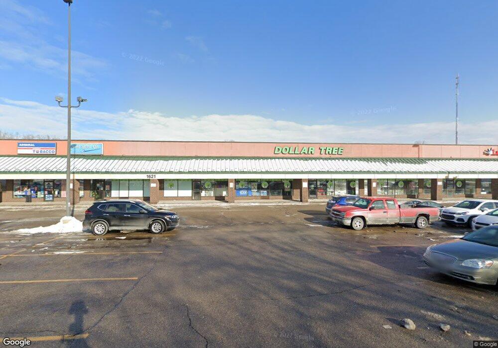
1621 Leonard St NE Unit K Grand Rapids, MI 49505
North East Citizens Action Neighborhood
--
Bed
--
Bath
24,000
Sq Ft
2.26
Acres
About This Home
This home is located at 1621 Leonard St NE Unit K, Grand Rapids, MI 49505. 1621 Leonard St NE Unit K is a home located in Kent County with nearby schools including Kent Hills School, Riverside Middle School, and Union High School.
Ownership History
Date
Name
Owned For
Owner Type
Purchase Details
Closed on
Jun 21, 2013
Sold by
Marogil Family Llc
Bought by
Green Cane Property Llc
Purchase Details
Closed on
Mar 16, 2005
Sold by
Beckwith Partners Llc
Bought by
Marogil Family Llc
Home Financials for this Owner
Home Financials are based on the most recent Mortgage that was taken out on this home.
Original Mortgage
$1,500,000
Interest Rate
5.71%
Mortgage Type
Commercial
Create a Home Valuation Report for This Property
The Home Valuation Report is an in-depth analysis detailing your home's value as well as a comparison with similar homes in the area
Home Values in the Area
Average Home Value in this Area
Purchase History
| Date | Buyer | Sale Price | Title Company |
|---|---|---|---|
| Green Cane Property Llc | -- | None Available | |
| Marogil Family Llc | -- | -- |
Source: Public Records
Mortgage History
| Date | Status | Borrower | Loan Amount |
|---|---|---|---|
| Previous Owner | Marogil Family Llc | $1,500,000 |
Source: Public Records
Tax History Compared to Growth
Tax History
| Year | Tax Paid | Tax Assessment Tax Assessment Total Assessment is a certain percentage of the fair market value that is determined by local assessors to be the total taxable value of land and additions on the property. | Land | Improvement |
|---|---|---|---|---|
| 2025 | $51,381 | $1,030,100 | $0 | $0 |
| 2024 | $51,381 | $1,029,900 | $0 | $0 |
| 2023 | $50,015 | $960,800 | $0 | $0 |
| 2022 | $49,811 | $960,600 | $0 | $0 |
| 2021 | $50,098 | $959,900 | $0 | $0 |
| 2020 | $49,098 | $959,900 | $0 | $0 |
| 2019 | $50,430 | $1,096,500 | $0 | $0 |
| 2018 | $55,029 | $1,038,800 | $0 | $0 |
| 2017 | $54,808 | $1,038,800 | $0 | $0 |
| 2016 | $55,572 | $1,038,800 | $0 | $0 |
| 2015 | $53,108 | $1,038,800 | $0 | $0 |
| 2013 | -- | $1,038,800 | $0 | $0 |
Source: Public Records
Map
Nearby Homes
- 1250 Mayfield Ave NE
- 1238 Carlton Ave NE
- 1455 Ball Ave NE
- 1332 Leonard St NE
- 1518 Mayfield Ave NE
- 1659 Mason St NE
- 1452 Carlton Ave NE
- 1539 Mason St NE
- 1535 Mason St NE
- 1524 Sweet St NE
- 2098 Cranbrook Dr NE Unit 51
- 1436 Manton St NE
- 1339 Fuller Ave NE
- 1420 Worcester Dr NE
- 1119 Spencer St NE
- 1250 Walwood Dr NE
- 1209 Mason St NE
- 2151 Chelsea Rd NE
- 1100 Coldbrook St NE
- 1261 Banbury Ave NE
- 1621 Leonard St NE Unit E
- 1622 Leonard St NW
- 1622 Leonard St NW
- 1615 Leonard St NE
- 1618 Leonard St NE
- 1708 Leonard St NE
- 1610 Leonard St NE
- 1610 Leonard St NE Unit 18-22
- 1630 Leonard St NE
- 1600 Leonard St NE
- 1150 Ball Ave NE
- 1553 Leonard St NE
- 1219 Ball Ave NE
- 1138 Ball Ave NE
- 1225 Ball Ave NE
- 1229 Ball Ave NE
- 1239 Ball Ave NE
- 1136 Ball Ave NE
- 1245 Ball Ave NE
- 1730 Leonard St NE