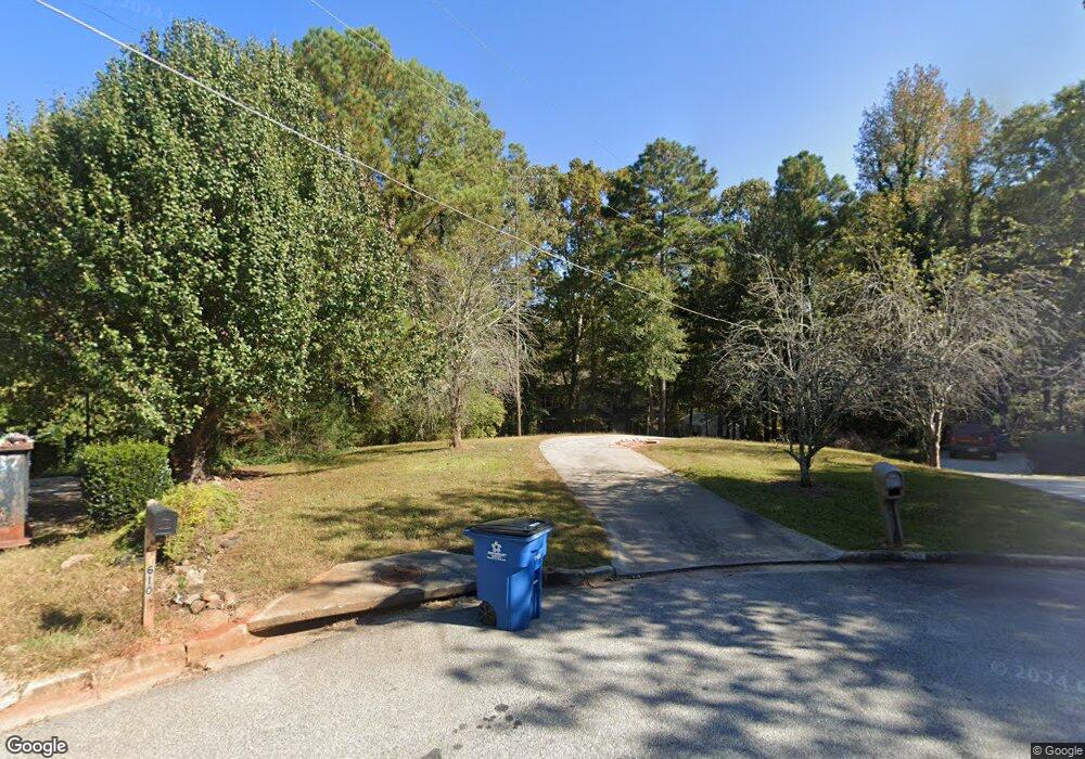
1621 Marshall Ln SE Conyers, GA 30094
Estimated Value: $308,027 - $346,000
3
Beds
3
Baths
1,956
Sq Ft
$166/Sq Ft
Est. Value
About This Home
This home is located at 1621 Marshall Ln SE, Conyers, GA 30094 and is currently estimated at $324,007, approximately $165 per square foot. 1621 Marshall Ln SE is a home located in Rockdale County with nearby schools including Sims Elementary School, Edwards Middle School, and Heritage High School.
Ownership History
Date
Name
Owned For
Owner Type
Purchase Details
Closed on
Jul 12, 2024
Sold by
Jo Victor Betty
Bought by
Victor Betty Jo
Current Estimated Value
Purchase Details
Closed on
Jan 24, 2001
Sold by
Burkholder James F and Burkholder Joan B
Bought by
Victor Carl S and Victor Betty J
Home Financials for this Owner
Home Financials are based on the most recent Mortgage that was taken out on this home.
Original Mortgage
$124,000
Interest Rate
7.44%
Mortgage Type
New Conventional
Create a Home Valuation Report for This Property
The Home Valuation Report is an in-depth analysis detailing your home's value as well as a comparison with similar homes in the area
Home Values in the Area
Average Home Value in this Area
Purchase History
| Date | Buyer | Sale Price | Title Company |
|---|---|---|---|
| Victor Betty Jo | -- | -- | |
| Victor Carl S | $155,000 | -- |
Source: Public Records
Mortgage History
| Date | Status | Borrower | Loan Amount |
|---|---|---|---|
| Previous Owner | Victor Carl S | $124,000 |
Source: Public Records
Tax History Compared to Growth
Tax History
| Year | Tax Paid | Tax Assessment Tax Assessment Total Assessment is a certain percentage of the fair market value that is determined by local assessors to be the total taxable value of land and additions on the property. | Land | Improvement |
|---|---|---|---|---|
| 2024 | $2,669 | $110,480 | $23,800 | $86,680 |
| 2023 | $2,451 | $105,360 | $26,000 | $79,360 |
| 2022 | $2,000 | $85,520 | $22,160 | $63,360 |
| 2021 | $1,715 | $71,200 | $17,200 | $54,000 |
| 2020 | $1,458 | $61,800 | $15,600 | $46,200 |
| 2019 | $1,115 | $49,680 | $11,600 | $38,080 |
| 2018 | $1,071 | $48,040 | $11,600 | $36,440 |
| 2017 | $950 | $43,760 | $11,600 | $32,160 |
| 2016 | $703 | $37,440 | $11,600 | $25,840 |
| 2015 | $675 | $36,560 | $10,200 | $26,360 |
| 2014 | $618 | $36,560 | $10,200 | $26,360 |
| 2013 | -- | $52,720 | $14,200 | $38,520 |
Source: Public Records
Map
Nearby Homes
- 1420 Hillside Place SE
- 2537 Lennox Rd SE
- 1508 Hillside Dr SE
- 1511 Hillside Dr SE
- 2608 Downing Park Dr SE
- 2617 Laurel Woods Ln SE Unit 3
- 2717 Stanton Woods Dr SE
- 784 Stieff Ct SE
- 2464 Lennox Rd SE
- 1601 Creek Crossing SE
- 2631 Rolling Hills Way SE
- 574 Almand Branch Rd SE Unit 1
- 340 Windsor Walk SE
- Boston Plan at Millers Pointe
- 1911 Colestock Ave SE
- Atlanta Plan at Millers Pointe
- Columbus Plan at Millers Pointe
- 1920 Logan Ln
- 309 Windsor Walk SE Unit 1
- 549 Greenview Ave SE
- 2671 Weatherstone Cir SE Unit 7
- 2661 Weatherstone Cir SE Unit 7
- 2681 Weatherstone Cir SE Unit 7
- 2651 Weatherstone Cir SE
- 1430 Hillside Place SE
- 1432 Hillside Place SE
- 1428 Hillside Place SE
- 1426 Hillside Place SE Unit 207
- 1426 Hillside Place SE
- 2641 Weatherstone Cir SE
- 1611 Marshall Ln SE
- 2701 Weatherstone Cir SE Unit 7
- 2690 Weatherstone Cir SE
- 2660 Weatherstone Cir SE
- 2660 Weatherstone Cir SE Unit 7
- 1610 Marshall Ln SE
- 1424 Hillside Place SE
- 1436 Hillside Place SE
- 1601 Marshall Ln SE
- 2635 Weatherstone Cir SE Unit 7