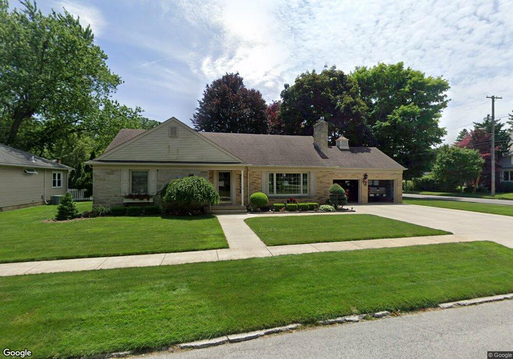
1621 Mcpherson Blvd Fremont, OH 43420
Estimated Value: $200,000 - $268,718
3
Beds
3
Baths
1,948
Sq Ft
$121/Sq Ft
Est. Value
About This Home
This home is located at 1621 Mcpherson Blvd, Fremont, OH 43420 and is currently estimated at $234,930, approximately $120 per square foot. 1621 Mcpherson Blvd is a home located in Sandusky County with nearby schools including Fremont Ross High School, St. Ann Catholic School, and St. Joseph School.
Ownership History
Date
Name
Owned For
Owner Type
Purchase Details
Closed on
Feb 7, 2012
Sold by
Ronski Wallace A and Ronski Carrol M
Bought by
Ronski Wallace A and Ronski Carrol M
Current Estimated Value
Purchase Details
Closed on
Jun 29, 2007
Sold by
Frantz Randelyn S and Frantz Mike
Bought by
Ronski Wallace A and Ronski Carrol M
Purchase Details
Closed on
Jun 27, 2007
Sold by
Suhrer Urcella Dawn
Bought by
Frantz Randelyn S and Frantz Randelyn
Purchase Details
Closed on
May 1, 1990
Sold by
Frantz Randelyn S
Bought by
Ronski Wallace A & Carrol M Trustees
Create a Home Valuation Report for This Property
The Home Valuation Report is an in-depth analysis detailing your home's value as well as a comparison with similar homes in the area
Home Values in the Area
Average Home Value in this Area
Purchase History
| Date | Buyer | Sale Price | Title Company |
|---|---|---|---|
| Ronski Wallace A | -- | Attorney | |
| Ronski Wallace A | -- | First American | |
| Frantz Randelyn S | -- | First American | |
| Ronski Wallace A & Carrol M Trustees | -- | -- |
Source: Public Records
Tax History Compared to Growth
Tax History
| Year | Tax Paid | Tax Assessment Tax Assessment Total Assessment is a certain percentage of the fair market value that is determined by local assessors to be the total taxable value of land and additions on the property. | Land | Improvement |
|---|---|---|---|---|
| 2024 | $2,641 | $81,520 | $17,120 | $64,400 |
| 2023 | $2,641 | $64,680 | $13,580 | $51,100 |
| 2022 | $2,164 | $64,680 | $13,580 | $51,100 |
| 2021 | $2,235 | $64,680 | $13,580 | $51,100 |
| 2020 | $2,013 | $58,380 | $13,580 | $44,800 |
| 2019 | $2,010 | $58,380 | $13,580 | $44,800 |
| 2018 | $2,014 | $58,380 | $13,580 | $44,800 |
| 2017 | $1,934 | $56,250 | $13,580 | $42,670 |
| 2016 | $1,696 | $56,250 | $13,580 | $42,670 |
| 2015 | $1,667 | $56,250 | $13,580 | $42,670 |
| 2014 | $1,782 | $57,160 | $15,580 | $41,580 |
| 2013 | $1,743 | $57,160 | $15,580 | $41,580 |
Source: Public Records
Map
Nearby Homes
- 1611 Mcpherson Blvd
- 1342 Mcpherson Blvd
- 614 3rd Ave
- 1015 Hayes Ave
- 880 Cleveland Ave
- 1028 June St
- 1485 Autumn Woods Dr
- 1009 Napoleon St
- 1719 Buckland Ave
- 616 S Wood St
- 815 South St
- 619 Hayes Ave
- 1013 Whittlesey St
- 905 Twinn St
- 2119 Lake St
- 625 Bush Place
- 515 Everett Rd
- 1823 W State St
- 818 Franklin Ave
- 520 Everett Rd
- 1619 Mcpherson Blvd
- 1617 Mcpherson Blvd
- 1622 Hayes Ave
- 1616 Hayes Ave
- 1701 Mcpherson Blvd
- 1700 Hayes Ave
- 1606 Hayes Ave
- 1711 Mcpherson Blvd
- 1624 Mcpherson Blvd
- 1612 Mcpherson Blvd
- 1610 Mcpherson Blvd
- 1708 Hayes Ave
- 1605 Mcpherson Blvd
- 1700 Mcpherson Blvd
- 1608 Mcpherson Blvd
- 1600 Hayes Ave
- 1523 Mcpherson Blvd
- 1604 Mcpherson Blvd
- 1721 Mcpherson Blvd
- 1710 Mcpherson Blvd