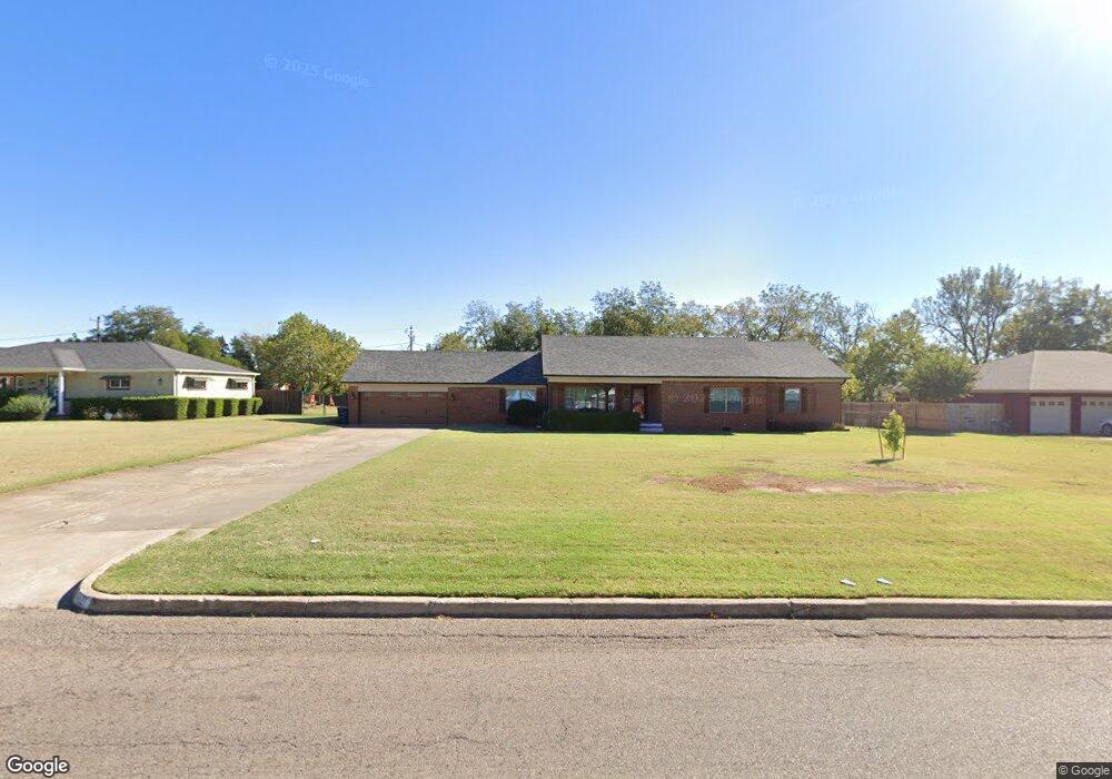
1621 N Union Ave Shawnee, OK 74804
Estimated Value: $228,000 - $314,000
3
Beds
2
Baths
2,488
Sq Ft
$108/Sq Ft
Est. Value
About This Home
This home is located at 1621 N Union Ave, Shawnee, OK 74804 and is currently estimated at $268,506, approximately $107 per square foot. 1621 N Union Ave is a home located in Pottawatomie County with nearby schools including Sequoyah Elementary School, Shawnee Middle School, and Shawnee High School.
Ownership History
Date
Name
Owned For
Owner Type
Purchase Details
Closed on
May 16, 2013
Sold by
Stephens Eric D and Stephens Stefanie
Bought by
Stephens Eric D and Stephens Stefanie
Current Estimated Value
Purchase Details
Closed on
Feb 22, 1999
Sold by
Dempsey Ronald and Dempsey Rhonda
Bought by
Stephens Eric and Stephens Stephanie
Purchase Details
Closed on
Apr 9, 1996
Sold by
Dawson Charles and Dawson Joan
Bought by
Dempsey Ronald and Dempsey Rhonda
Create a Home Valuation Report for This Property
The Home Valuation Report is an in-depth analysis detailing your home's value as well as a comparison with similar homes in the area
Home Values in the Area
Average Home Value in this Area
Purchase History
| Date | Buyer | Sale Price | Title Company |
|---|---|---|---|
| Stephens Eric D | -- | None Available | |
| Stephens Eric | $125,000 | -- | |
| Dempsey Ronald | $46,500 | -- |
Source: Public Records
Tax History Compared to Growth
Tax History
| Year | Tax Paid | Tax Assessment Tax Assessment Total Assessment is a certain percentage of the fair market value that is determined by local assessors to be the total taxable value of land and additions on the property. | Land | Improvement |
|---|---|---|---|---|
| 2024 | $1,487 | $15,695 | $1,368 | $14,327 |
| 2023 | $1,487 | $15,238 | $1,096 | $14,142 |
| 2022 | $1,461 | $15,238 | $1,096 | $14,142 |
| 2021 | $1,435 | $15,238 | $1,096 | $14,142 |
| 2020 | $1,439 | $15,238 | $1,096 | $14,142 |
| 2019 | $1,487 | $15,238 | $1,096 | $14,142 |
| 2018 | $1,457 | $15,238 | $1,096 | $14,142 |
| 2017 | $1,538 | $15,238 | $1,096 | $14,142 |
| 2016 | $1,532 | $15,012 | $1,096 | $13,916 |
| 2015 | $1,430 | $14,297 | $1,096 | $13,201 |
| 2014 | $1,376 | $14,760 | $1,096 | $13,664 |
Source: Public Records
Map
Nearby Homes
- 1510 N Union Ave
- 210 E Cammack
- 1816 N Bell Ave
- 1822 N Philadelphia Ave
- 1817 N Bell Ave
- 1607 N Beard Ave
- 1539 N Pennsylvania Ave
- 0 Independence and Minnesota St
- 1901 N Bell Ave
- 1712 N Pennsylvania Ave
- 1834 N Market Ave
- 1710 N Park Ave
- 2021 N Broadway Ave
- 1217 N Market Ave
- 1324 N Park Ave
- 1925 N Park Ave
- 1017 N Bdwy Ave
- 2001 N Mckinley Ave
- 1006 N Market Ave
- 2304 N Tucker Ave
- 1625 N Union Ave
- 1615 N Union Ave
- 131 E Elizabeth St
- 1616 N Union Ave
- 1609 N Union Ave
- 1715 N Union Ave
- 1530 N Phil Ave
- 1614 N Union Ave
- 1507 N Union Ave
- 1613 Dawson Ln
- 129 E Elizabeth St
- 1717 N Union Ave
- 130 E Elizabeth St
- 1605 Dawson Ln
- 126 E Elizabeth St
- 1505 N Union Ave
- 15 Dawson Ln
- 1721 N Union Ave
- 1722 N Union Ave
- 1506 N Union Ave