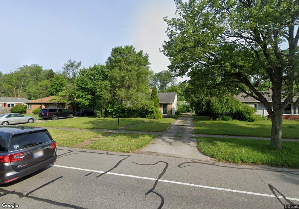
1621 Rockne Dr South Bend, IN 46617
Northeast South Bend NeighborhoodEstimated Value: $253,000 - $391,000
4
Beds
2
Baths
490
Sq Ft
$652/Sq Ft
Est. Value
About This Home
This home is located at 1621 Rockne Dr, South Bend, IN 46617 and is currently estimated at $319,414, approximately $651 per square foot. 1621 Rockne Dr is a home located in St. Joseph County with nearby schools including Nuner Fine Arts Academy, Clay Intermediate Center, and McKinley Elementary School.
Ownership History
Date
Name
Owned For
Owner Type
Purchase Details
Closed on
Apr 3, 2007
Sold by
Belton Kevin J and Belton Janet L
Bought by
Garrett Patrick E and Lebbin Marcellus M
Current Estimated Value
Home Financials for this Owner
Home Financials are based on the most recent Mortgage that was taken out on this home.
Original Mortgage
$149,205
Outstanding Balance
$90,708
Interest Rate
6.25%
Mortgage Type
New Conventional
Estimated Equity
$228,706
Purchase Details
Closed on
Jun 1, 2005
Sold by
Ball Magdalyn
Bought by
Belton Kevin J and Belton Janet L
Create a Home Valuation Report for This Property
The Home Valuation Report is an in-depth analysis detailing your home's value as well as a comparison with similar homes in the area
Home Values in the Area
Average Home Value in this Area
Purchase History
| Date | Buyer | Sale Price | Title Company |
|---|---|---|---|
| Garrett Patrick E | -- | None Available | |
| Belton Kevin J | -- | Metropolitan Title In Llc |
Source: Public Records
Mortgage History
| Date | Status | Borrower | Loan Amount |
|---|---|---|---|
| Open | Garrett Patrick E | $149,205 |
Source: Public Records
Tax History Compared to Growth
Tax History
| Year | Tax Paid | Tax Assessment Tax Assessment Total Assessment is a certain percentage of the fair market value that is determined by local assessors to be the total taxable value of land and additions on the property. | Land | Improvement |
|---|---|---|---|---|
| 2024 | $2,944 | $253,100 | $44,600 | $208,500 |
| 2023 | $2,901 | $244,800 | $44,600 | $200,200 |
| 2022 | $2,633 | $219,200 | $44,600 | $174,600 |
| 2021 | $2,403 | $197,500 | $56,400 | $141,100 |
| 2020 | $2,155 | $177,900 | $48,900 | $129,000 |
| 2019 | $1,787 | $174,400 | $46,300 | $128,100 |
| 2018 | $1,901 | $158,400 | $41,600 | $116,800 |
| 2017 | $1,610 | $130,700 | $35,000 | $95,700 |
| 2016 | $1,958 | $130,700 | $35,000 | $95,700 |
| 2014 | $1,586 | $129,000 | $35,000 | $94,000 |
Source: Public Records
Map
Nearby Homes
- 606 N Twyckenham Dr
- 1123 N Twyckenham Dr
- 1454 Sorin St
- 735 N Twyckenham Dr
- 1519 Mckinley Ave
- 905 White Oak Dr
- 2007 Cedar St
- 1522 Mckinley Ave
- 1334 Chalfant St
- 1005 White Oak Dr
- 1303 Sorin St
- 1229 Miner St
- 1253 Corby Blvd Unit A
- 1253 Corby Blvd Unit B
- 1222 Miner St
- 231 N Ironwood Dr
- 1031 N Ironwood Dr
- 509 N Arthur St
- 302 Walsh St
- 2314 Solomon Ave
- 1627 Rockne Dr
- 1615 Rockne Dr
- 1631 Rockne Dr
- 620 Northwood Dr
- 608 Northwood Dr
- 1608 Churchill Dr
- 1612 Churchill Dr
- 626 Northwood Dr
- 1705 Rockne Dr
- 1616 Churchill Dr
- 1618 Rockne Dr
- 1624 Rockne Dr
- 1620 Churchill Dr
- 630 Northwood Dr
- 1711 Rockne Dr
- 1630 Rockne Dr
- 1623 Bader Ave
- 1624 Churchill Dr
- 1704 Rockne Dr
- 1630 Churchill Dr