1621 Sable Point Dr Shelby, MI 49455
Estimated Value: $947,000 - $1,160,000
7
Beds
4
Baths
4,000
Sq Ft
$258/Sq Ft
Est. Value
About This Home
This home is located at 1621 Sable Point Dr, Shelby, MI 49455 and is currently estimated at $1,030,295, approximately $257 per square foot. 1621 Sable Point Dr is a home located in Oceana County with nearby schools including Shelby High School.
Ownership History
Date
Name
Owned For
Owner Type
Purchase Details
Closed on
Oct 14, 2020
Sold by
Karkut Bradley P and Karkut Cynthia D
Bought by
Roskam Trust
Current Estimated Value
Purchase Details
Closed on
Jan 5, 2017
Sold by
Sands Mark and Sands Carol
Bought by
Schiller Anne Marie
Home Financials for this Owner
Home Financials are based on the most recent Mortgage that was taken out on this home.
Original Mortgage
$272,500
Interest Rate
4.03%
Mortgage Type
New Conventional
Purchase Details
Closed on
Apr 24, 1998
Sold by
Wheeler Sidney N and Wheeler Marlene A
Bought by
Sands Mark and Sands Carol
Purchase Details
Closed on
Apr 21, 1998
Sold by
Wheele
Bought by
Wheele
Create a Home Valuation Report for This Property
The Home Valuation Report is an in-depth analysis detailing your home's value as well as a comparison with similar homes in the area
Home Values in the Area
Average Home Value in this Area
Purchase History
| Date | Buyer | Sale Price | Title Company |
|---|---|---|---|
| Roskam Trust | $48,500 | Oceana Land Title Agencu Inc | |
| Schiller Anne Marie | -- | Oceana Land Title Agency Inc | |
| Sands Mark | $45,900 | -- | |
| Wheele | $45,900 | -- |
Source: Public Records
Mortgage History
| Date | Status | Borrower | Loan Amount |
|---|---|---|---|
| Previous Owner | Schiller Anne Marie | $272,500 |
Source: Public Records
Tax History Compared to Growth
Tax History
| Year | Tax Paid | Tax Assessment Tax Assessment Total Assessment is a certain percentage of the fair market value that is determined by local assessors to be the total taxable value of land and additions on the property. | Land | Improvement |
|---|---|---|---|---|
| 2025 | $12,572 | $426,900 | $426,900 | $0 |
| 2024 | $3,242 | $417,100 | $417,100 | $0 |
| 2023 | $10,989 | $361,200 | $361,200 | $0 |
| 2022 | $10,989 | $320,800 | $0 | $0 |
| 2021 | $10,978 | $294,100 | $294,100 | $0 |
| 2020 | $10,355 | $280,400 | $280,400 | $0 |
| 2019 | $10,466 | $275,400 | $0 | $0 |
| 2018 | $10,224 | $229,500 | $0 | $0 |
| 2017 | $5,112 | $222,800 | $0 | $0 |
| 2016 | -- | $200,400 | $0 | $0 |
| 2013 | -- | $236,900 | $0 | $0 |
Source: Public Records
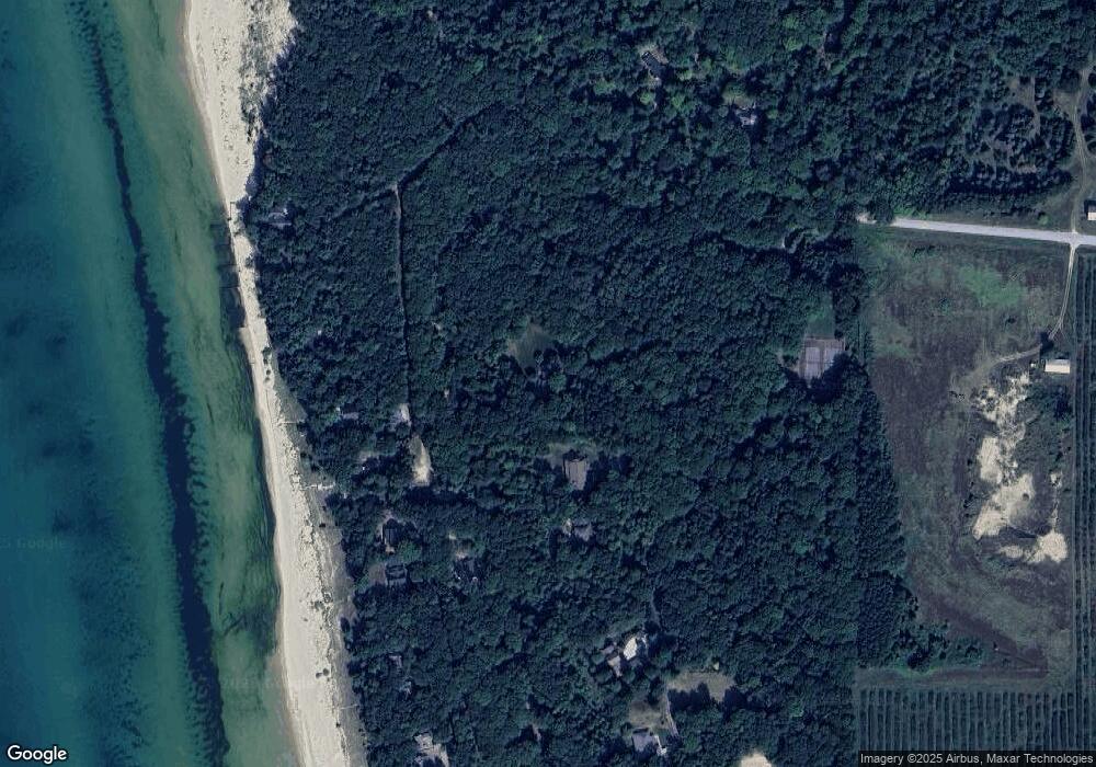
Map
Nearby Homes
- Lot N Hemlock Trail
- 0 Sable Point Dr Unit 286596
- Lot O Hemlock
- 10445 W Woodrow Rd
- 10412 W Woodrow Rd
- Lot G Hemlock Trail
- 1935 S Glen Rd
- 2225 Apache Dr
- 0 Silver Lake Dr
- 2087 S Glen Rd
- V/L W Woodrow Rd
- 62 N 14th Ave
- 539 N Lighthouse Dr
- 18 Acres 28th Ave
- 2167 S 32nd Ave Unit Parcel B
- 2167 S 32nd Ave Unit Parcel A
- 0 S 32nd Ave
- Parcel F-1 28th Ave
- Parcel F-2 28th Ave
- Parcel G-1 28th Ave
- 1667 S Sable Point Dr
- 1685 S Sable Point Dr
- 0 Lot 27 Sable Point Dr Unit LOT 27 23003307
- 0 Lot 27 Sable Point Dr Unit LOT 27 22035346
- 0 Sable Point Dr Unit 71019001780
- 0 Sable Point Dr Unit 67023014211
- 0 Sable Point Dr Unit 21 23014211
- 0 Sable Point Dr Unit 23008991
- 0 Sable Point Dr Unit 67020004514
- 0 Sable Point Dr Unit 67013053478
- 0 Sable Point Dr Unit 67020004014
- 28 Sable Point Dr
- 0 Sable Point Dr Unit M13053478
- 0 Sable Point Dr Unit M14062235
- 0 Sable Point Dr Unit M15013134
- 0 Sable Point Dr Unit M15044976
- 0 Sable Point Dr Unit M15044921
- 0 Sable Point Dr Unit M15044476
- 0 Sable Point Dr Unit M15044471
- 0 Sable Point Dr Unit M15044304