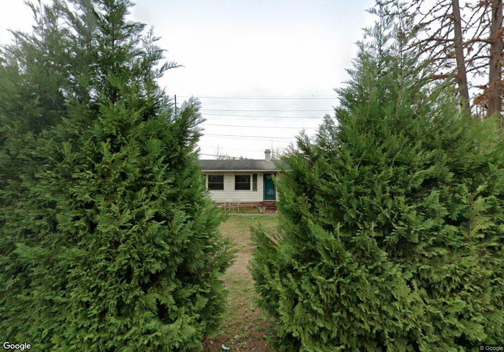
1621 Saint Michaels Rd Columbia, SC 29210
Saint Andrews NeighborhoodEstimated Value: $156,000 - $188,000
3
Beds
2
Baths
1,152
Sq Ft
$144/Sq Ft
Est. Value
About This Home
This home is located at 1621 Saint Michaels Rd, Columbia, SC 29210 and is currently estimated at $165,738, approximately $143 per square foot. 1621 Saint Michaels Rd is a home located in Richland County with nearby schools including Sandel Elementary School, St. Andrews Middle School, and Columbia High School.
Ownership History
Date
Name
Owned For
Owner Type
Purchase Details
Closed on
Dec 30, 2016
Sold by
U S Bank Trust Na
Bought by
Mse Sub I Llc
Current Estimated Value
Purchase Details
Closed on
Jun 24, 2015
Sold by
Hs Property Owner Llc
Bought by
Arwl 2014-1 Trust
Purchase Details
Closed on
Sep 11, 2014
Sold by
Carter Stanley L
Bought by
Hs Property Owner Llc
Create a Home Valuation Report for This Property
The Home Valuation Report is an in-depth analysis detailing your home's value as well as a comparison with similar homes in the area
Home Values in the Area
Average Home Value in this Area
Purchase History
| Date | Buyer | Sale Price | Title Company |
|---|---|---|---|
| Mse Sub I Llc | $76,000 | None Available | |
| Arwl 2014-1 Trust | $34,269 | -- | |
| Hs Property Owner Llc | $22,000 | -- |
Source: Public Records
Tax History Compared to Growth
Tax History
| Year | Tax Paid | Tax Assessment Tax Assessment Total Assessment is a certain percentage of the fair market value that is determined by local assessors to be the total taxable value of land and additions on the property. | Land | Improvement |
|---|---|---|---|---|
| 2024 | $1,015 | $93,500 | $0 | $0 |
| 2023 | $975 | $3,252 | $0 | $0 |
| 2022 | $885 | $81,300 | $12,800 | $68,500 |
| 2021 | $874 | $3,250 | $0 | $0 |
| 2020 | $886 | $3,250 | $0 | $0 |
| 2019 | $857 | $3,250 | $0 | $0 |
| 2018 | $2,473 | $4,850 | $0 | $0 |
| 2017 | $815 | $3,240 | $0 | $0 |
| 2016 | $2,364 | $3,240 | $0 | $0 |
| 2015 | $1,800 | $3,610 | $0 | $0 |
| 2014 | $636 | $60,100 | $0 | $0 |
| 2013 | -- | $2,400 | $0 | $0 |
Source: Public Records
Map
Nearby Homes
- 1618 van Lingle Ave
- 1810 Saint Michaels Rd
- 1605 Kathleen Dr
- 1825 Woodsboro Dr
- 1900 Rolling Hills Rd
- 1533 Westchester Dr
- 2114 Apple Valley Rd
- 2135 Rolling Hills Rd
- 1509 Nunamaker Dr
- 1204 Old Manor Rd
- 1101 Menlo Dr
- 1917 Kathleen Dr
- 2225 Hertford Dr
- 2229 Hertford Dr
- 1917 Chandler Ave
- 104 Menlo Dr
- 101 Menlo Dr
- 506 Menlo Dr
- 2006 Mary Hill Dr
- 912 Saint Andrews Rd
- 1625 Saint Michaels Rd
- 1617 Saint Michaels Rd
- 1625 St Michaels Rd
- 1629 Saint Michaels Rd
- 1618 St Michaels Rd
- 1613 Saint Michaels Rd
- 1618 Saint Michaels Rd
- 1622 Saint Michaels Rd
- 1610 Saint Michaels Rd
- 1633 Saint Michaels Rd
- 1609 Saint Michaels Rd
- 1626 Saint Michaels Rd
- 1617 van Lingle Ave
- 1613 van Lingle Ave
- 1606 Saint Michaels Rd
- 1606 St Michaels Rd
- 1609 van Lingle Ave
- 1621 van Lingle Ave
- 1605 St Michaels Rd
- 1637 Saint Michaels Rd