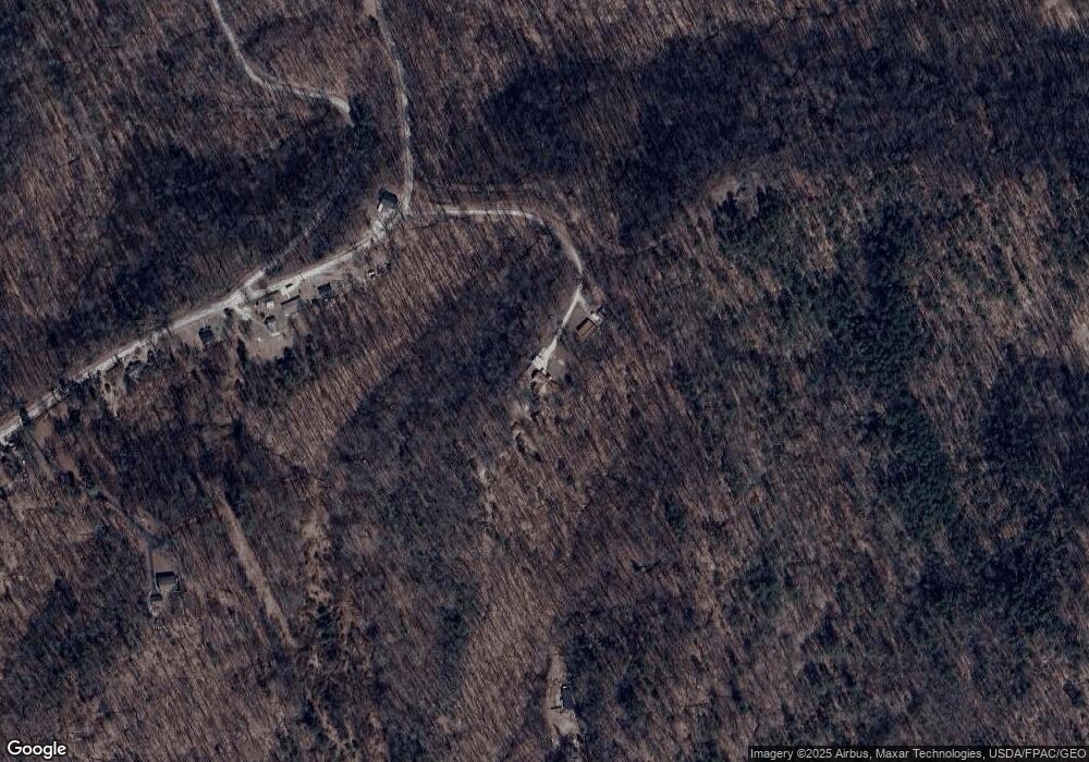
1621 Spite Rd Hurricane, WV 25526
Estimated Value: $163,000 - $252,000
3
Beds
2
Baths
2,064
Sq Ft
$105/Sq Ft
Est. Value
About This Home
This home is located at 1621 Spite Rd, Hurricane, WV 25526 and is currently estimated at $217,342, approximately $105 per square foot. 1621 Spite Rd is a home.
Ownership History
Date
Name
Owned For
Owner Type
Purchase Details
Closed on
Oct 3, 2017
Sold by
Blake Jamie R
Bought by
Jones Nathaniel L and Jones Olivya Atik
Current Estimated Value
Home Financials for this Owner
Home Financials are based on the most recent Mortgage that was taken out on this home.
Original Mortgage
$137,902
Outstanding Balance
$115,063
Interest Rate
3.78%
Mortgage Type
New Conventional
Estimated Equity
$102,279
Purchase Details
Closed on
Nov 3, 2011
Sold by
Fannie Mae
Bought by
Blake Jamie R
Purchase Details
Closed on
Apr 1, 2011
Sold by
Seneca Trustees Inc
Bought by
Bac Home Loans Servicing Lp and Countrywide Home Loans Servicing, Lp
Create a Home Valuation Report for This Property
The Home Valuation Report is an in-depth analysis detailing your home's value as well as a comparison with similar homes in the area
Home Values in the Area
Average Home Value in this Area
Purchase History
| Date | Buyer | Sale Price | Title Company |
|---|---|---|---|
| Jones Nathaniel L | $135,000 | None Available | |
| Blake Jamie R | -- | -- | |
| Bac Home Loans Servicing Lp | $76,196 | -- |
Source: Public Records
Mortgage History
| Date | Status | Borrower | Loan Amount |
|---|---|---|---|
| Open | Jones Nathaniel L | $137,902 |
Source: Public Records
Tax History Compared to Growth
Tax History
| Year | Tax Paid | Tax Assessment Tax Assessment Total Assessment is a certain percentage of the fair market value that is determined by local assessors to be the total taxable value of land and additions on the property. | Land | Improvement |
|---|---|---|---|---|
| 2024 | $1,120 | $80,880 | $13,740 | $67,140 |
| 2023 | $1,005 | $82,680 | $18,660 | $64,020 |
| 2022 | $960 | $79,680 | $16,560 | $63,120 |
| 2021 | $1,022 | $84,420 | $16,260 | $68,160 |
| 2020 | $1,082 | $89,460 | $16,920 | $72,540 |
| 2019 | $1,036 | $84,360 | $16,920 | $67,440 |
| 2018 | $753 | $61,140 | $13,020 | $48,120 |
| 2017 | $677 | $54,600 | $13,020 | $41,580 |
| 2016 | $653 | $52,320 | $13,020 | $39,300 |
| 2015 | $635 | $50,460 | $13,020 | $37,440 |
| 2014 | -- | $52,440 | $15,900 | $36,540 |
Source: Public Records
Map
Nearby Homes
- 403 Hodges Rd
- 1037 MacCorkle Ave SW
- 5108 US Route 60
- 0 Poplar Estates Dr
- 2671 Scott Depot Rd
- 713 High St
- 395 Buff Creek Rd
- 1514 Strawberry Rd
- 8 Cobblestone Ln
- 2262 Main Dr
- 69 Central Ave
- 67 Central Ave
- 413 Lyman Ln
- 1333 Summer St
- 58 Lonesome Cedar
- 418 Donna Dr
- 11500 Coal River Rd
- 12240 Coal River Rd
- 13 Willis Ln
- 0 Hitching Post Ln
- 186 Spite Rd
- 161A Spite Rd
- 1428 Spite Rd
- 512 Adkins Branch Rd
- 892 Adkins Branch Rd
- 1687 Spite Rd
- 391 Adkins Branch Rd
- 396 Adkins Branch Rd
- 0 Spite Rd
- 1086 Spite Rd
- 1674 Adkins Branch Rd
- 160 Bridges Creek Rd
- 395 Adkins Branch Rd
- 807 Spite Rd
- 1464 Adkins Branch Rd
- 166 Lewis Creek Rd
- 176 U S 60
- 3467 Sams Fork Rd
- 159 Bridges Creek Rd
- 1185 Adkins Branch Rd
