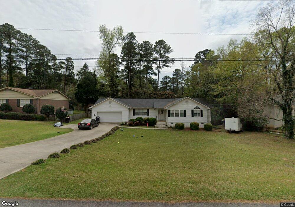
1621 Stone Meadow Rd Milledgeville, GA 31061
Estimated Value: $220,836 - $248,000
--
Bed
--
Bath
1,497
Sq Ft
$156/Sq Ft
Est. Value
About This Home
This home is located at 1621 Stone Meadow Rd, Milledgeville, GA 31061 and is currently estimated at $234,209, approximately $156 per square foot. 1621 Stone Meadow Rd is a home located in Baldwin County with nearby schools including Lakeview Primary, Lakeview Academy, and Oak Hill Middle School.
Ownership History
Date
Name
Owned For
Owner Type
Purchase Details
Closed on
Jun 23, 2021
Sold by
Spears Daniel Irving
Bought by
Spears Heath D and Spears Patrick A
Current Estimated Value
Purchase Details
Closed on
Jul 31, 2007
Sold by
Marion Michael S
Bought by
Spears Daniel I
Home Financials for this Owner
Home Financials are based on the most recent Mortgage that was taken out on this home.
Original Mortgage
$121,500
Interest Rate
9.13%
Mortgage Type
New Conventional
Purchase Details
Closed on
Jan 31, 2002
Sold by
Monsanto Cirilo O
Bought by
Marion Michael
Purchase Details
Closed on
Oct 17, 1995
Bought by
Monsanto Cirilo O
Create a Home Valuation Report for This Property
The Home Valuation Report is an in-depth analysis detailing your home's value as well as a comparison with similar homes in the area
Home Values in the Area
Average Home Value in this Area
Purchase History
| Date | Buyer | Sale Price | Title Company |
|---|---|---|---|
| Spears Heath D | -- | -- | |
| Spears Daniel I | $135,000 | -- | |
| Marion Michael | $115,800 | -- | |
| Monsanto Cirilo O | $9,000 | -- |
Source: Public Records
Mortgage History
| Date | Status | Borrower | Loan Amount |
|---|---|---|---|
| Previous Owner | Spears Daniel I | $121,500 |
Source: Public Records
Tax History Compared to Growth
Tax History
| Year | Tax Paid | Tax Assessment Tax Assessment Total Assessment is a certain percentage of the fair market value that is determined by local assessors to be the total taxable value of land and additions on the property. | Land | Improvement |
|---|---|---|---|---|
| 2025 | $2,994 | $84,028 | $12,000 | $72,028 |
| 2024 | $2,994 | $84,028 | $12,000 | $72,028 |
| 2023 | $1,614 | $64,612 | $10,000 | $54,612 |
| 2022 | $1,627 | $65,736 | $10,000 | $55,736 |
| 2021 | $1,301 | $49,480 | $10,000 | $39,480 |
| 2020 | $1,283 | $49,480 | $10,000 | $39,480 |
| 2019 | $1,286 | $49,480 | $10,000 | $39,480 |
| 2018 | $1,294 | $49,480 | $10,000 | $39,480 |
| 2017 | $1,160 | $45,480 | $6,000 | $39,480 |
| 2016 | $1,022 | $37,960 | $4,240 | $33,720 |
| 2015 | $1,023 | $37,960 | $4,240 | $33,720 |
| 2014 | $1,025 | $37,960 | $4,240 | $33,720 |
Source: Public Records
Map
Nearby Homes
- 240 Lakeside Dr
- 271 Lakeside Dr
- 1605 Stone Meadow Rd
- 1692 Pine Valley Rd
- 1740 Holly Hill Rd
- 1756 Stone Meadow Rd
- 1647 Valley Rd
- 261 Linda Dr NE
- 1835 Audobon Rd
- 1745 Cedarwood Rd
- 1863 Tanglewood Rd
- 1985 Briarcliff Rd
- 1985 Briarcliff Rd Unit A1
- 1985 Briarcliff Rd Unit B1
- 1508 N Columbia St
- 1750 Elmwood Rd
- 1045 N Wilkinson St
- 384 Grimes Ave
- 1784 Cedarwood Rd
- 1050 N Clarke St
- 1619 Stone Meadow Rd
- 1625 Stone Meadow Rd
- 251 Lakeside Dr
- 1622 Stone Meadow Rd
- 1628 Stone Meadow Rd
- 1615 Stone Meadow Rd
- 1616 Stone Meadow Rd
- 1633 Stone Meadow Rd
- 1632 Stone Meadow Rd
- 231 Lakeside Dr
- 1719 Columbine Rd
- 1717 Columbine Rd
- 1608 Stone Meadow Rd
- 261 Lakeside Dr
- 221 Lakeside Dr Unit 13PT14
- 221 Lakeside Dr
- 1715 Columbine Rd
- 1721 Columbine Rd
- 1640 Stone Meadow Rd
- 1645 Stone Meadow Rd