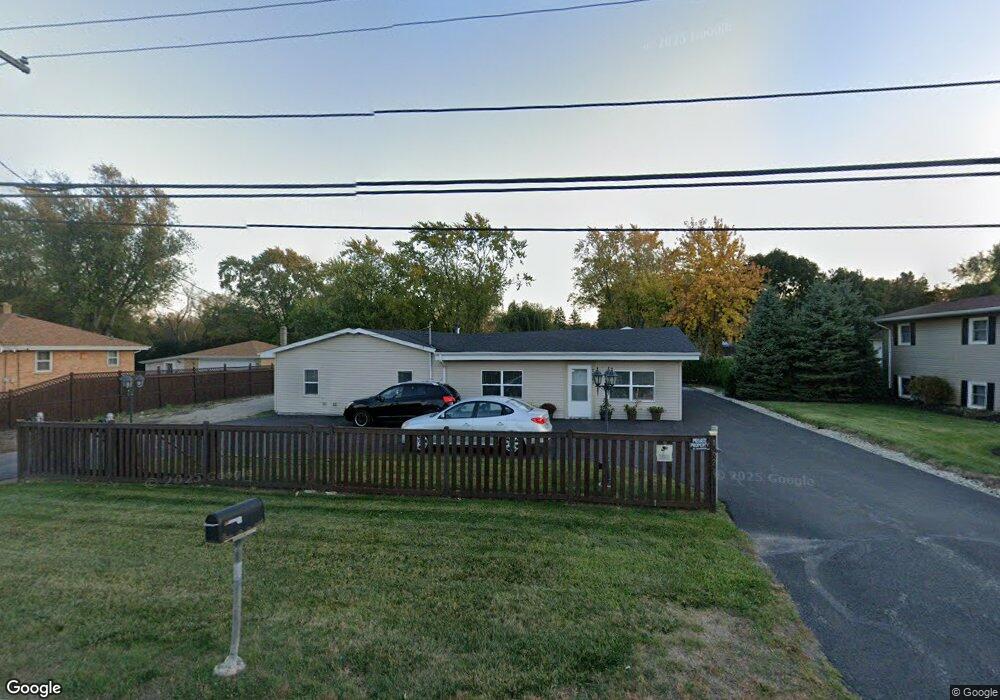
1621 W Yorkhouse Rd Waukegan, IL 60087
Lake County Gardens NeighborhoodEstimated Value: $284,000 - $327,300
3
Beds
2
Baths
2,104
Sq Ft
$150/Sq Ft
Est. Value
About This Home
This home is located at 1621 W Yorkhouse Rd, Waukegan, IL 60087 and is currently estimated at $315,825, approximately $150 per square foot. 1621 W Yorkhouse Rd is a home located in Lake County with nearby schools including H R McCall Elementary School, Jack Benny Middle School, and Waukegan High School.
Ownership History
Date
Name
Owned For
Owner Type
Purchase Details
Closed on
Mar 20, 2017
Sold by
Spencer Judith A and Spencer William E
Bought by
Maldonado Jose A and Maldonado Marisela
Current Estimated Value
Home Financials for this Owner
Home Financials are based on the most recent Mortgage that was taken out on this home.
Original Mortgage
$42,500
Outstanding Balance
$35,370
Interest Rate
4.3%
Mortgage Type
Commercial
Estimated Equity
$280,455
Create a Home Valuation Report for This Property
The Home Valuation Report is an in-depth analysis detailing your home's value as well as a comparison with similar homes in the area
Home Values in the Area
Average Home Value in this Area
Purchase History
| Date | Buyer | Sale Price | Title Company |
|---|---|---|---|
| Maldonado Jose A | $62,600 | First American Title |
Source: Public Records
Mortgage History
| Date | Status | Borrower | Loan Amount |
|---|---|---|---|
| Open | Maldonado Jose A | $42,500 |
Source: Public Records
Tax History Compared to Growth
Tax History
| Year | Tax Paid | Tax Assessment Tax Assessment Total Assessment is a certain percentage of the fair market value that is determined by local assessors to be the total taxable value of land and additions on the property. | Land | Improvement |
|---|---|---|---|---|
| 2024 | $8,468 | $100,305 | $16,135 | $84,170 |
| 2023 | $5,963 | $89,803 | $14,446 | $75,357 |
| 2022 | $5,963 | $60,995 | $11,639 | $49,356 |
| 2021 | $5,275 | $50,599 | $9,473 | $41,126 |
| 2020 | $5,344 | $47,139 | $8,825 | $38,314 |
| 2019 | $5,381 | $43,196 | $8,087 | $35,109 |
| 2018 | $3,753 | $28,255 | $8,175 | $20,080 |
| 2017 | $3,559 | $24,998 | $7,233 | $17,765 |
| 2016 | $6,998 | $45,265 | $6,285 | $38,980 |
| 2015 | $4,982 | $40,513 | $5,625 | $34,888 |
| 2014 | $5,133 | $40,492 | $4,563 | $35,929 |
| 2012 | $6,655 | $43,871 | $4,944 | $38,927 |
Source: Public Records
Map
Nearby Homes
- 37966 N Cornell Rd
- 1636 Rice St
- 3211 Rugby Ct
- 3411 N Lewis Ave
- 1612 Whitney St
- 37905 N Loyola Ave
- 38127 N Shore Ave
- 38362 N Manor Ave
- 2613 N Lewis Ave
- 3101 Country Club Ln
- 1730 W Beach Rd
- 2350 N Lewis Ave
- 38697 N Cedar Ave
- 10241 W Bairstow Ave
- 12312 W Audrey Ave
- 11345 W Carnahan Ave
- 2708 Dana Ave
- 2705 Dana Ave
- 301 W Eagle Ct
- 2232 Walnut St
- 1701 W Yorkhouse Rd
- 1605 W Yorkhouse Rd
- 3141 Cornell Rd
- 3131 Cornell Rd
- 1533 W Yorkhouse Rd
- 1620 W Yorkhouse Rd
- 3127 Cornell Rd
- 3117 Cornell Rd
- 3203 Cornell Rd
- 1531 W Yorkhouse Rd
- 3209 Cornell Rd
- 3212 Harper Ave
- 1709 W Yorkhouse Rd
- 3115 Cornell Rd
- 3128 Cornell Rd
- 3213 Cornell Rd
- 3204 Cornell Rd
- 3124 N Cornell Rd
- 3124 Cornell Rd Unit E
- 3124 Cornell Rd Unit W