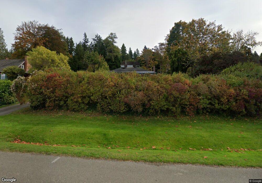
16211 Euclid Ave NE Bainbridge Island, WA 98110
Estimated Value: $1,272,000 - $1,646,000
3
Beds
2
Baths
1,884
Sq Ft
$799/Sq Ft
Est. Value
About This Home
This home is located at 16211 Euclid Ave NE, Bainbridge Island, WA 98110 and is currently estimated at $1,505,258, approximately $798 per square foot. 16211 Euclid Ave NE is a home located in Kitsap County with nearby schools including Bainbridge High School and The Island School.
Ownership History
Date
Name
Owned For
Owner Type
Purchase Details
Closed on
Nov 1, 1999
Sold by
Tomlinson Hazel A
Bought by
Tomlinson Kevin M and Kaplan Judy M
Current Estimated Value
Home Financials for this Owner
Home Financials are based on the most recent Mortgage that was taken out on this home.
Original Mortgage
$288,000
Interest Rate
7.82%
Mortgage Type
Seller Take Back
Create a Home Valuation Report for This Property
The Home Valuation Report is an in-depth analysis detailing your home's value as well as a comparison with similar homes in the area
Home Values in the Area
Average Home Value in this Area
Purchase History
| Date | Buyer | Sale Price | Title Company |
|---|---|---|---|
| Tomlinson Kevin M | $320,000 | Land Title Company |
Source: Public Records
Mortgage History
| Date | Status | Borrower | Loan Amount |
|---|---|---|---|
| Closed | Tomlinson Kevin M | $288,000 |
Source: Public Records
Tax History Compared to Growth
Tax History
| Year | Tax Paid | Tax Assessment Tax Assessment Total Assessment is a certain percentage of the fair market value that is determined by local assessors to be the total taxable value of land and additions on the property. | Land | Improvement |
|---|---|---|---|---|
| 2026 | $5,047 | $1,393,510 | $703,210 | $690,300 |
| 2025 | $5,047 | $1,393,510 | $703,210 | $690,300 |
| 2024 | $4,910 | $1,393,510 | $703,210 | $690,300 |
| 2023 | $2,159 | $1,267,750 | $639,310 | $628,440 |
| 2022 | $9,523 | $1,007,520 | $500,480 | $507,040 |
| 2021 | $9,973 | $1,007,520 | $500,480 | $507,040 |
| 2020 | $9,467 | $942,250 | $467,360 | $474,890 |
| 2019 | $9,277 | $942,250 | $467,360 | $474,890 |
| 2018 | $9,440 | $746,440 | $368,000 | $378,440 |
| 2017 | $7,759 | $746,440 | $368,000 | $378,440 |
| 2016 | $5,854 | $531,780 | $258,740 | $273,040 |
| 2015 | $5,026 | $464,190 | $225,570 | $238,620 |
| 2014 | -- | $434,460 | $225,570 | $208,890 |
| 2013 | -- | $395,790 | $205,670 | $190,120 |
Source: Public Records
Map
Nearby Homes
- 14855 Phelps Rd NE
- 8484 NE County Park Rd
- 8552 NE Gordon Dr
- 10240 NE Lafayette Ave
- 0 Ave N
- 7535 NE West Port Madison Rd
- 8003 NE Hidden Cove Rd
- 16455 Agate Point Rd NE
- 12170 Viewcrest Place NE
- 13392 Hidden Cove Ln NE
- 14433 Silven Ave NE
- 0 NE Lovgreen Rd E Unit NWM2419912
- 12079 Sunrise Dr NE
- 13401 Manzanita Rd NE
- 18509 1st Ave NE
- 10211 NE Roberts Rd
- 19313 Harris Ave NE
- 5450 NE Laura Loop
- 18610 5th Ave NE
- 18872 Augusta Ave NE
- 9249 NE Meigs Rd
- 15227 Washington Ave NE
- 15249 Washington Ave NE
- 9276 NE Meigs Rd
- 15211 Washington Ave NE
- 16021 Euclid Ave NE
- 15253 Washington Ave NE
- 15253 Washington Ave NE
- 15311 Washington Ave NE
- 213 Euclid Ave NE
- 0 XXX Euclid Ave NE
- 15169 Washington Ave NE
- 15268 Washington Ave NE
- 15300 Washington Ave NE
- 15355 Washington Ave NE
- 16304 Euclid Ave NE
- 16005 Euclid Ave NE
- 15198 Washington Ave NE
- 15350 Washington Ave NE
- 15625 Euclid Ave NE