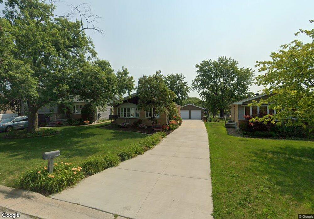
16217 Debra Dr Oak Forest, IL 60452
Estimated Value: $256,000 - $297,000
3
Beds
2
Baths
1,056
Sq Ft
$266/Sq Ft
Est. Value
About This Home
This home is located at 16217 Debra Dr, Oak Forest, IL 60452 and is currently estimated at $280,397, approximately $265 per square foot. 16217 Debra Dr is a home located in Cook County with nearby schools including Kimberly Heights Elementary School, Scarlet Oak Elementary School, and Arbor Park Middle School.
Ownership History
Date
Name
Owned For
Owner Type
Purchase Details
Closed on
Aug 14, 1997
Sold by
Degard Robert J
Bought by
Degard Robert J and Degard Jennifer J
Current Estimated Value
Purchase Details
Closed on
Apr 24, 1997
Sold by
Post Ronald and Rada Mary B
Bought by
Degard Robert J
Home Financials for this Owner
Home Financials are based on the most recent Mortgage that was taken out on this home.
Original Mortgage
$126,000
Outstanding Balance
$13,217
Interest Rate
7.37%
Estimated Equity
$267,180
Create a Home Valuation Report for This Property
The Home Valuation Report is an in-depth analysis detailing your home's value as well as a comparison with similar homes in the area
Home Values in the Area
Average Home Value in this Area
Purchase History
| Date | Buyer | Sale Price | Title Company |
|---|---|---|---|
| Degard Robert J | -- | -- | |
| Degard Robert J | $136,000 | Intercounty Title |
Source: Public Records
Mortgage History
| Date | Status | Borrower | Loan Amount |
|---|---|---|---|
| Open | Degard Robert J | $126,000 |
Source: Public Records
Tax History
| Year | Tax Paid | Tax Assessment Tax Assessment Total Assessment is a certain percentage of the fair market value that is determined by local assessors to be the total taxable value of land and additions on the property. | Land | Improvement |
|---|---|---|---|---|
| 2025 | $7,119 | $23,001 | $4,433 | $18,568 |
| 2024 | $7,119 | $23,001 | $4,433 | $18,568 |
| 2023 | $6,717 | $23,001 | $4,433 | $18,568 |
| 2022 | $6,717 | $17,839 | $3,940 | $13,899 |
| 2021 | $6,592 | $17,839 | $3,940 | $13,899 |
| 2020 | $6,455 | $17,839 | $3,940 | $13,899 |
| 2019 | $6,387 | $17,663 | $3,693 | $13,970 |
| 2018 | $6,244 | $17,663 | $3,693 | $13,970 |
| 2017 | $6,241 | $17,663 | $3,693 | $13,970 |
| 2016 | $6,140 | $16,029 | $3,447 | $12,582 |
| 2015 | $5,910 | $16,029 | $3,447 | $12,582 |
| 2014 | $5,787 | $16,029 | $3,447 | $12,582 |
| 2013 | $6,188 | $18,785 | $3,447 | $15,338 |
Source: Public Records
Map
Nearby Homes
- 16240 Debra Dr
- 16103 Beth Ct
- 5140 Shadow Creek Dr Unit 5
- 5310 W 159th St
- 16352 169 Lot #13 Place
- 16917 W Thackeray Lot #10 St
- 16352 169 Lot #15 Place
- 14901 S Cicero Ave
- 16913 Thackeray Lot 9 St
- 16352 169 Lot #7 Place
- 16352 169 Lot #14 Place
- 16352 169 Lot #6 Place
- 15805 Peggy Ln Unit 6
- 15801 Peggy Ln Unit 11
- 15723 Peggy Ln Unit 12
- 17301 Lockwood Ave
- 15842 Lavergne Ave
- 15705 Peggy Ln
- 5166 Aldersyde Rd
- 16224 S Cicero Ave
Your Personal Tour Guide
Ask me questions while you tour the home.