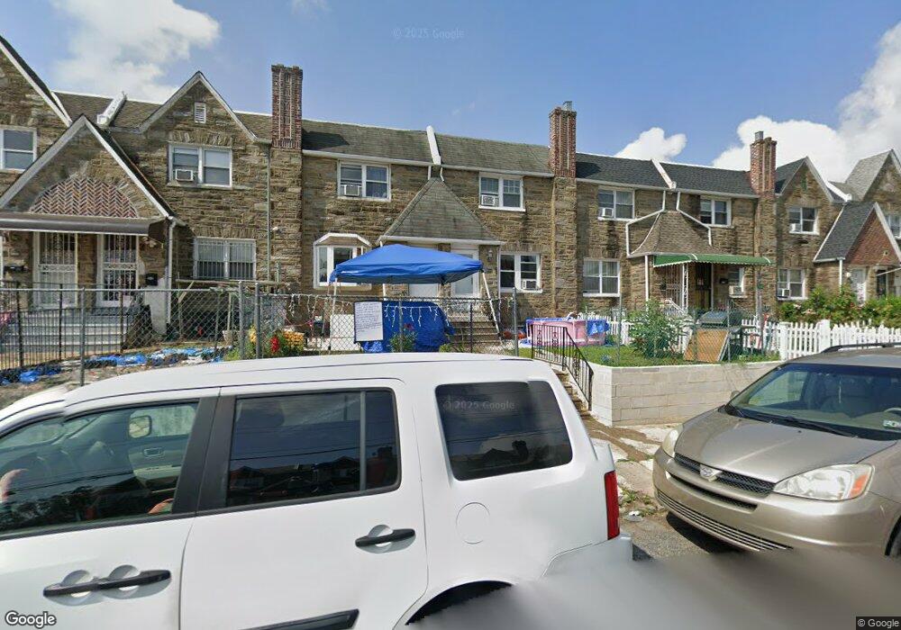
1622 Longshore Ave Philadelphia, PA 19149
Castor Gardens NeighborhoodEstimated Value: $236,000 - $274,000
4
Beds
1
Bath
1,584
Sq Ft
$160/Sq Ft
Est. Value
About This Home
This home is located at 1622 Longshore Ave, Philadelphia, PA 19149 and is currently estimated at $252,720, approximately $159 per square foot. 1622 Longshore Ave is a home located in Philadelphia County with nearby schools including Solomon Solis-Cohen School, Castor Gardens Middle School, and Northeast High School.
Ownership History
Date
Name
Owned For
Owner Type
Purchase Details
Closed on
Nov 23, 2004
Sold by
Vidra Peter J
Bought by
Yang Ren Ku and Lam Kwai Ching Yang
Current Estimated Value
Home Financials for this Owner
Home Financials are based on the most recent Mortgage that was taken out on this home.
Original Mortgage
$61,000
Interest Rate
5.69%
Mortgage Type
FHA
Purchase Details
Closed on
Dec 31, 1998
Sold by
Kessler Jayne and Kessler Lyn
Bought by
Vidra Peter J
Purchase Details
Closed on
Apr 6, 1995
Sold by
Kessler Jayne
Bought by
Kessler Jayne and Kessler Lyn
Create a Home Valuation Report for This Property
The Home Valuation Report is an in-depth analysis detailing your home's value as well as a comparison with similar homes in the area
Home Values in the Area
Average Home Value in this Area
Purchase History
| Date | Buyer | Sale Price | Title Company |
|---|---|---|---|
| Yang Ren Ku | $120,000 | Lawyers Title Ins | |
| Vidra Peter J | $58,500 | Lawyers Title Insurance Co | |
| Kessler Jayne | -- | -- |
Source: Public Records
Mortgage History
| Date | Status | Borrower | Loan Amount |
|---|---|---|---|
| Closed | Yang Ren Ku | $61,000 |
Source: Public Records
Tax History Compared to Growth
Tax History
| Year | Tax Paid | Tax Assessment Tax Assessment Total Assessment is a certain percentage of the fair market value that is determined by local assessors to be the total taxable value of land and additions on the property. | Land | Improvement |
|---|---|---|---|---|
| 2025 | $2,819 | $243,600 | $48,720 | $194,880 |
| 2024 | $2,819 | $243,600 | $48,720 | $194,880 |
| 2023 | $2,819 | $201,400 | $40,280 | $161,120 |
| 2022 | $2,076 | $201,400 | $40,280 | $161,120 |
| 2021 | $2,076 | $0 | $0 | $0 |
| 2020 | $2,076 | $0 | $0 | $0 |
| 2019 | $1,992 | $0 | $0 | $0 |
| 2018 | $1,820 | $0 | $0 | $0 |
| 2017 | $1,820 | $0 | $0 | $0 |
| 2016 | $1,820 | $0 | $0 | $0 |
| 2015 | $1,742 | $0 | $0 | $0 |
| 2014 | -- | $130,000 | $22,874 | $107,126 |
| 2012 | -- | $16,992 | $1,552 | $15,440 |
Source: Public Records
Map
Nearby Homes
- 6829 Horrocks St
- 6826 Sylvester St
- 6834 Large St
- 6827 Lynford St
- 6739 Lynford St
- 7028 Horrocks St
- 7034 Souder St
- 7039 Kindred St
- 7019 Rutland St
- 6640 Souder St
- 6725 Eastwood St
- 7035 Rutland St
- 7050 Lynford St
- 6621 Sylvester St
- 6626 Lynford St
- 6627 Oakland St
- 7123 Souder St
- 2110 Longshore Ave
- 2119 Glenview St
- 1417 Unruh Ave
- 1624 Longshore Ave
- 1620 Longshore Ave
- 1626 Longshore Ave
- 1618 Longshore Ave
- 1616 Longshore Ave
- 1628 Longshore Ave
- 1614 Longshore Ave
- 6844 Souder St
- 6841 Kindred St
- 6839 Kindred St
- 6842 Souder St
- 6840 Souder St
- 6837 Horrocks St
- 6837 Kindred St
- 6838 Souder St
- 1630 Longshore Ave
- 6835 Horrocks St
- 6835 Kindred St
- 1610 Longshore Ave
- 6836 Souder St