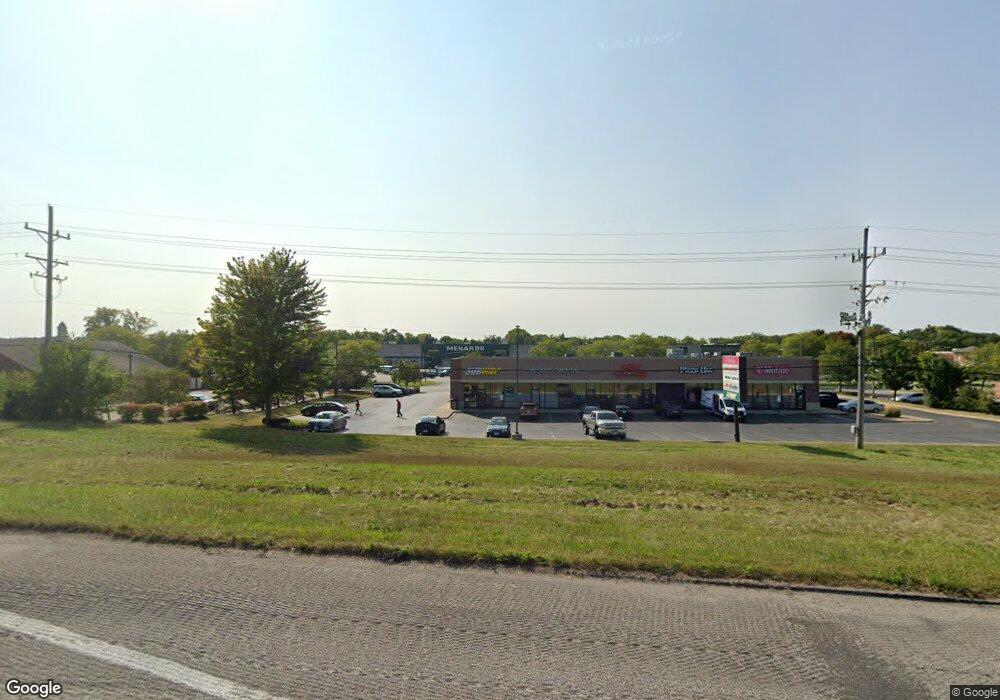
1622 N Us Highway 12 Spring Grove, IL 60081
Estimated Value: $275,658 - $362,000
--
Bed
--
Bath
--
Sq Ft
1.08
Acres
About This Home
This home is located at 1622 N Us Highway 12, Spring Grove, IL 60081 and is currently estimated at $318,665. 1622 N Us Highway 12 is a home with nearby schools including Spring Grove Elementary School, Nippersink Middle School, and Richmond-Burton High School.
Ownership History
Date
Name
Owned For
Owner Type
Purchase Details
Closed on
Mar 31, 1997
Sold by
Regnier Donald J and Regnier Suzanne E
Bought by
Thiel Ronald L and Thiel Bonnie J
Current Estimated Value
Home Financials for this Owner
Home Financials are based on the most recent Mortgage that was taken out on this home.
Original Mortgage
$130,000
Interest Rate
7.74%
Create a Home Valuation Report for This Property
The Home Valuation Report is an in-depth analysis detailing your home's value as well as a comparison with similar homes in the area
Home Values in the Area
Average Home Value in this Area
Purchase History
| Date | Buyer | Sale Price | Title Company |
|---|---|---|---|
| Thiel Ronald L | $182,000 | -- |
Source: Public Records
Mortgage History
| Date | Status | Borrower | Loan Amount |
|---|---|---|---|
| Closed | Thiel Ronald L | $130,000 |
Source: Public Records
Tax History Compared to Growth
Tax History
| Year | Tax Paid | Tax Assessment Tax Assessment Total Assessment is a certain percentage of the fair market value that is determined by local assessors to be the total taxable value of land and additions on the property. | Land | Improvement |
|---|---|---|---|---|
| 2024 | $4,359 | $74,032 | $10,493 | $63,539 |
| 2023 | $4,263 | $69,046 | $9,786 | $59,260 |
| 2022 | $4,661 | $60,737 | $8,608 | $52,129 |
| 2021 | $4,415 | $57,256 | $8,115 | $49,141 |
| 2020 | $4,305 | $54,732 | $7,757 | $46,975 |
| 2019 | $4,328 | $53,880 | $7,636 | $46,244 |
| 2018 | $4,408 | $52,214 | $7,400 | $44,814 |
| 2017 | $4,329 | $49,032 | $6,949 | $42,083 |
| 2016 | $4,332 | $46,826 | $6,636 | $40,190 |
| 2013 | -- | $49,917 | $7,074 | $42,843 |
Source: Public Records
Map
Nearby Homes
- LOT 9 Mayo Ct
- 1876 Red Oak Ln
- 1852 Red Oak Ln
- 1975 Red Oak Ln
- Lot 65 & 66 Main Street Rd
- 1979 Red Oak Ln
- 1410 Linden Rd
- Lot 36 Red Oak Ln
- LOT 40 Red Oak Ln
- LOT 56 Beverly Way
- 1848 Red Oak Ln
- 7710 Ravina Dr
- Lot 64 Beverly Way
- Lot 61 Beverly Way
- Lot 60 Beverly Way
- Lot 59 Beverly Way
- Lot 58 Beverly Way
- Lot 57 Beverly Way
- 1971 Red Oak Ln
- 7392 English Oak Ln
- 0000 U S Rt 12 Hwy
- 1504 Linden Rd
- 1438 Linden Rd
- Lot 15 Holian Dr
- LOT 7 Holian Ct
- 1420 Linden Rd
- 7708 River Dr
- 1814 U S 12
- 1814 N Us Highway 12
- 1501 Route 12
- Lot 7 Mayo Ct
- Mayo Court Mayo Ct
- 1814 Route 12
- 1814 Rt 12
- 7313 Hawthorn Ln
- 1432 Linden Rd
- 1902 N Us Highway 12
- 1423 Woodland Pkwy
- 7306 Hawthorn Ln
- 7307 Hawthorn Ln
