1622 Ramsey Farm Trail Crouse, NC 28033
Estimated Value: $448,000 - $714,268
3
Beds
3
Baths
2,159
Sq Ft
$257/Sq Ft
Est. Value
About This Home
This home is located at 1622 Ramsey Farm Trail, Crouse, NC 28033 and is currently estimated at $555,317, approximately $257 per square foot. 1622 Ramsey Farm Trail is a home with nearby schools including Love Memorial Elementary School, West Lincoln Middle, and West Lincoln High School.
Ownership History
Date
Name
Owned For
Owner Type
Purchase Details
Closed on
Oct 12, 2023
Sold by
Ramsey Ronald W and Ann Deal Ramsey Susan
Bought by
Ramsey Family Legacy Trust and Ramsey
Current Estimated Value
Purchase Details
Closed on
Sep 20, 1999
Bought by
Ramsey Ronald W and Susan Ann Deal R
Create a Home Valuation Report for This Property
The Home Valuation Report is an in-depth analysis detailing your home's value as well as a comparison with similar homes in the area
Home Values in the Area
Average Home Value in this Area
Purchase History
| Date | Buyer | Sale Price | Title Company |
|---|---|---|---|
| Ramsey Family Legacy Trust | -- | None Listed On Document | |
| Ramsey Family Legacy Trust | -- | None Listed On Document | |
| Ramsey Ronald W | $25,000 | -- |
Source: Public Records
Tax History Compared to Growth
Tax History
| Year | Tax Paid | Tax Assessment Tax Assessment Total Assessment is a certain percentage of the fair market value that is determined by local assessors to be the total taxable value of land and additions on the property. | Land | Improvement |
|---|---|---|---|---|
| 2025 | $3,501 | $547,469 | $79,913 | $467,556 |
| 2024 | $3,194 | $500,714 | $79,913 | $420,801 |
| 2023 | $353 | $60,288 | $60,288 | $0 |
| 2022 | $272 | $38,584 | $38,584 | $0 |
| 2021 | $272 | $38,584 | $38,584 | $0 |
| 2020 | $264 | $38,584 | $38,584 | $0 |
| 2019 | $264 | $38,584 | $38,584 | $0 |
| 2018 | $263 | $37,780 | $37,780 | $0 |
| 2017 | $255 | $37,780 | $37,780 | $0 |
| 2016 | $255 | $0 | $0 | $0 |
| 2015 | $250 | $37,780 | $37,780 | $0 |
| 2014 | $265 | $40,192 | $40,192 | $0 |
Source: Public Records
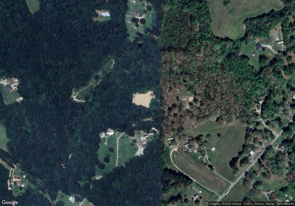
Map
Nearby Homes
- 2130 Drive Inn Rd
- 1431 Boy Scout Rd
- 1690 Roseland Dr
- 1672 Riverview Rd
- 1568 Pleasant Grove Church Rd
- 1547 Roseland Dr
- 000 Riverview Rd
- 792 Mace Ln
- 1214 Pleasant Grove Church Rd
- 776 S Grove St Unit EXT
- 3372 Crouse School Rd
- 2336 Swanson Rd
- 2700 Moose Gantt Trail
- 2297 Swanson Rd
- 1778 Highway 182
- 000 Modern Estates Rd
- 1070 N Carolina 182
- 00 George Brown Rd Unit 5
- 00 George Brown Rd Unit 23
- 8 Swanson Rd
- 1320 Ingle Houser Rd
- 1268 Ingle Houser Rd
- 1272 Ingle Houser Rd
- 1934 W Highway 150
- 2124 Cliffside Trail
- 2126 Cliffside Trail
- 1616 Ramsey Farm Trail
- 1456 Howell Trail
- 1970 W Highway 150
- 1876 W Highway 150
- 1894 W Highway 150
- 150 W Nc Hwy S
- 1365 Old Lincolnton Crouse Rd
- 1236 Ingle Houser Rd
- 1868 W Highway 150
- 150 W Nc Hwy
- 1451 Old Lincolnton Crouse Rd
- 2020 W Highway 150
- 2020 A B W Nc 150 Hwy
- 1828 W Highway 150