1622 S Gessner Rd Houston, TX 77063
Mid West NeighborhoodEstimated Value: $294,000 - $349,000
3
Beds
3
Baths
2,112
Sq Ft
$152/Sq Ft
Est. Value
About This Home
This home is located at 1622 S Gessner Rd, Houston, TX 77063 and is currently estimated at $321,158, approximately $152 per square foot. 1622 S Gessner Rd is a home located in Harris County with nearby schools including Walnut Bend Elementary School, Paul Revere Middle School, and Westside High School.
Ownership History
Date
Name
Owned For
Owner Type
Purchase Details
Closed on
Aug 13, 2012
Sold by
Desforges Ted F
Bought by
Robles Daniel E
Current Estimated Value
Home Financials for this Owner
Home Financials are based on the most recent Mortgage that was taken out on this home.
Original Mortgage
$188,100
Outstanding Balance
$130,062
Interest Rate
3.63%
Mortgage Type
New Conventional
Estimated Equity
$191,096
Create a Home Valuation Report for This Property
The Home Valuation Report is an in-depth analysis detailing your home's value as well as a comparison with similar homes in the area
Home Values in the Area
Average Home Value in this Area
Purchase History
| Date | Buyer | Sale Price | Title Company |
|---|---|---|---|
| Robles Daniel E | -- | None Available |
Source: Public Records
Mortgage History
| Date | Status | Borrower | Loan Amount |
|---|---|---|---|
| Open | Robles Daniel E | $188,100 |
Source: Public Records
Tax History Compared to Growth
Tax History
| Year | Tax Paid | Tax Assessment Tax Assessment Total Assessment is a certain percentage of the fair market value that is determined by local assessors to be the total taxable value of land and additions on the property. | Land | Improvement |
|---|---|---|---|---|
| 2025 | $5,974 | $285,300 | $100,000 | $185,300 |
| 2024 | $5,974 | $285,500 | $100,000 | $185,500 |
| 2023 | $5,974 | $284,236 | $68,000 | $216,236 |
| 2022 | $5,202 | $245,351 | $68,000 | $177,351 |
| 2021 | $5,006 | $214,792 | $68,000 | $146,792 |
| 2020 | $5,771 | $238,330 | $68,000 | $170,330 |
| 2019 | $6,031 | $238,330 | $68,000 | $170,330 |
| 2018 | $4,491 | $235,604 | $68,000 | $167,604 |
| 2017 | $6,246 | $247,000 | $68,000 | $179,000 |
| 2016 | $6,246 | $247,000 | $68,000 | $179,000 |
| 2015 | $4,362 | $228,764 | $60,000 | $168,764 |
| 2014 | $4,362 | $219,671 | $60,000 | $159,671 |
Source: Public Records
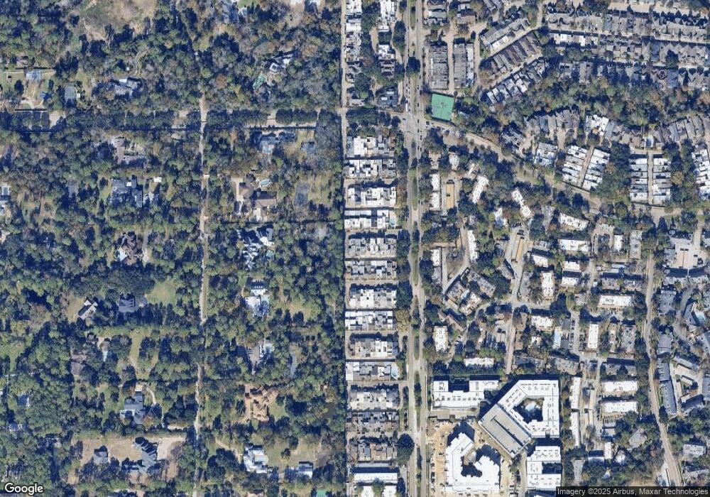
Map
Nearby Homes
- 2100 Tanglewilde St Unit 750
- 2100 Tanglewilde St Unit 169
- 2100 Tanglewilde St Unit 536
- 2100 Tanglewilde St Unit 402
- 2100 Tanglewilde St Unit 422
- 2100 Tanglewilde St Unit 625
- 2100 Tanglewilde St Unit 131
- 2100 Tanglewilde St Unit 455
- 2100 Tanglewilde St Unit 600
- 2100 Tanglewilde St Unit 299
- 2100 Tanglewilde St Unit 378
- 30 E Rivercrest Dr
- 9618 Bayou Brook St
- 9632 Bayou Brook St
- 45 Bayou Pointe Dr
- 9620 Doliver Dr
- 9518 Bayou Brook St
- 12 E Rivercrest Dr
- 45 Patti Lynn Ln
- 9400 Doliver Dr Unit 70
- 1624 S Gessner Rd
- 1620 S Gessner Rd
- 1626 S Gessner Rd
- 1628 S Gessner Rd
- 1630 S Gessner Rd
- 1652 S Gessner Rd
- 1650 S Gessner Rd
- 1632 S Gessner Rd
- 1648 S Gessner Rd
- 1614 S Gessner Rd
- 1654 S Gessner Rd
- 1616 S Gessner Rd
- 1612 S Gessner Rd
- 1618 S Gessner Rd
- 1610 S Gessner Rd
- 1634 S Gessner Rd
- 1608 S Gessner Rd
- 1644 S Gessner Rd
- 1606 S Gessner Rd
- 1642 S Gessner Rd