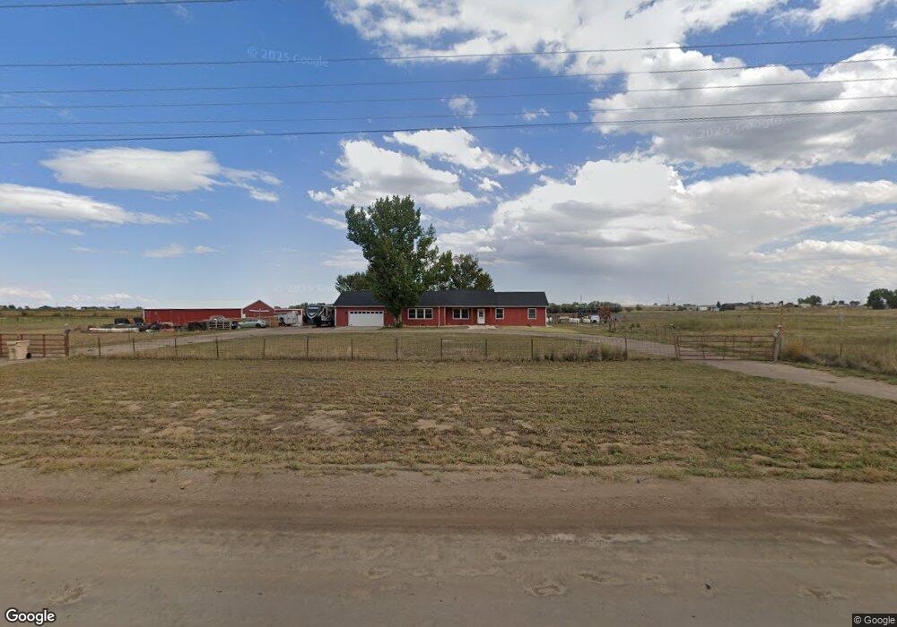
16220 Harvest Rd Brighton, CO 80603
Estimated Value: $653,000 - $854,000
3
Beds
2
Baths
2,351
Sq Ft
$320/Sq Ft
Est. Value
About This Home
This home is located at 16220 Harvest Rd, Brighton, CO 80603 and is currently estimated at $753,209, approximately $320 per square foot. 16220 Harvest Rd is a home located in Adams County with nearby schools including Overland Trail Middle School, Brighton High School, and Bromley East Charter School.
Ownership History
Date
Name
Owned For
Owner Type
Purchase Details
Closed on
Jun 8, 2011
Sold by
U S Bank National Association
Bought by
Rook Ray and Rook Leah
Current Estimated Value
Home Financials for this Owner
Home Financials are based on the most recent Mortgage that was taken out on this home.
Original Mortgage
$216,000
Interest Rate
4.53%
Mortgage Type
New Conventional
Purchase Details
Closed on
Feb 16, 2011
Sold by
Vanbeek Frank
Bought by
U S Bank National Association
Purchase Details
Closed on
Jul 31, 1997
Sold by
Dreyer Stanley W and Dreyer Sharron S
Bought by
Dreyer Stanley W and Dreyer Sharon S
Purchase Details
Closed on
Jun 7, 1996
Sold by
Dreyer Stanley W and Dreyer Sharron S
Bought by
Vanbeek Frank
Home Financials for this Owner
Home Financials are based on the most recent Mortgage that was taken out on this home.
Original Mortgage
$128,600
Interest Rate
8.1%
Mortgage Type
Purchase Money Mortgage
Create a Home Valuation Report for This Property
The Home Valuation Report is an in-depth analysis detailing your home's value as well as a comparison with similar homes in the area
Home Values in the Area
Average Home Value in this Area
Purchase History
| Date | Buyer | Sale Price | Title Company |
|---|---|---|---|
| Rook Ray | $240,000 | Chicago Title Co | |
| U S Bank National Association | -- | None Available | |
| Dreyer Stanley W | -- | -- | |
| Vanbeek Frank | $59,500 | -- |
Source: Public Records
Mortgage History
| Date | Status | Borrower | Loan Amount |
|---|---|---|---|
| Previous Owner | Rook Ray | $216,000 | |
| Previous Owner | Vanbeek Frank | $128,600 |
Source: Public Records
Tax History Compared to Growth
Tax History
| Year | Tax Paid | Tax Assessment Tax Assessment Total Assessment is a certain percentage of the fair market value that is determined by local assessors to be the total taxable value of land and additions on the property. | Land | Improvement |
|---|---|---|---|---|
| 2024 | $2,573 | $46,890 | $1,440 | $45,450 |
| 2023 | $2,557 | $28,140 | $1,370 | $26,770 |
| 2022 | $2,992 | $28,700 | $1,360 | $27,340 |
| 2021 | $2,994 | $28,700 | $1,360 | $27,340 |
| 2020 | $2,974 | $30,160 | $1,620 | $28,540 |
| 2019 | $2,978 | $30,160 | $1,620 | $28,540 |
| 2018 | $2,486 | $24,790 | $1,740 | $23,050 |
| 2017 | $2,490 | $24,790 | $1,740 | $23,050 |
| 2016 | $2,182 | $6,510 | $1,570 | $4,940 |
| 2015 | $2,167 | $6,510 | $1,570 | $4,940 |
| 2014 | -- | $4,500 | $1,310 | $3,190 |
Source: Public Records
Map
Nearby Homes
- 15945 Delta Ct
- 15684 Degaulle Cir
- 23753 E 155th Way
- 422 Willow Dr
- 218 Poplar St
- 135 Poplar St
- 103 Wenatchee St
- 244 Chipeta Way
- 0 E 152nd Ave
- 105 Stampede Place
- 634 County Road 37
- 48 Chipeta Way
- Ponderosa Plan at Lochbuie Station
- Maple Plan at Lochbuie Station
- Onyx Plan at Lochbuie Station - Jewel
- Ruby Plan at Lochbuie Station - Jewel
- Diamond Plan at Lochbuie Station - Jewel
- Pearl Plan at Lochbuie Station - Jewel
- 724 County Road 37
- 13 Chipeta Way
- 16220 Harvest Rd
- 16387 Harvest Rd
- 25225 E 160th Ave
- 15989 Harvest Mile Rd
- 15989 Harvest Rd
- 15988 Fortune Ct
- 15969 Harvest Mile Rd
- 15969 Harvest Rd
- 15968 Fortune Ct
- 16450 Harvest Rd
- 15949 Harvest Mile Rd
- 15949 Harvest Rd
- 15987 Fortune Ct
- 15967 Fortune Ct
- 15948 Fortune Ct
- 15889 Harvest Rd
- 25200 E 160th Ave
- 25375 E 160th Ave
- 15888 Fortune Ct
- 15947 Fortune Ct