Estimated Value: $201,000 - $406,000
--
Bed
--
Bath
1,040
Sq Ft
$296/Sq Ft
Est. Value
About This Home
This home is located at 16221 S Dale Evans Rd, Yucca, AZ 86438 and is currently estimated at $308,007, approximately $296 per square foot. 16221 S Dale Evans Rd is a home with nearby schools including Yucca Elementary School.
Ownership History
Date
Name
Owned For
Owner Type
Purchase Details
Closed on
Jun 30, 2014
Sold by
Hersam Heather J
Bought by
Hersam Mervyn L
Current Estimated Value
Purchase Details
Closed on
Dec 23, 2004
Sold by
Klawitter James and Klawitter Nancy
Bought by
Hersam Mervyn L and Hersam Heather J
Home Financials for this Owner
Home Financials are based on the most recent Mortgage that was taken out on this home.
Original Mortgage
$38,600
Outstanding Balance
$19,292
Interest Rate
5.7%
Mortgage Type
Seller Take Back
Estimated Equity
$288,715
Purchase Details
Closed on
Mar 11, 2004
Sold by
Ramsey William R
Bought by
Klawitter James and Klawitter Nancy
Purchase Details
Closed on
Feb 26, 2001
Sold by
First American Title Insurance Co
Bought by
Ramsey William R
Create a Home Valuation Report for This Property
The Home Valuation Report is an in-depth analysis detailing your home's value as well as a comparison with similar homes in the area
Home Values in the Area
Average Home Value in this Area
Purchase History
| Date | Buyer | Sale Price | Title Company |
|---|---|---|---|
| Hersam Mervyn L | -- | None Available | |
| Hersam Mervyn L | $44,600 | First American Title Ins Co | |
| Klawitter James | $29,700 | First American Title Ins Co | |
| Ramsey William R | -- | First American Title Ins Co |
Source: Public Records
Mortgage History
| Date | Status | Borrower | Loan Amount |
|---|---|---|---|
| Open | Hersam Mervyn L | $38,600 |
Source: Public Records
Tax History Compared to Growth
Tax History
| Year | Tax Paid | Tax Assessment Tax Assessment Total Assessment is a certain percentage of the fair market value that is determined by local assessors to be the total taxable value of land and additions on the property. | Land | Improvement |
|---|---|---|---|---|
| 2026 | -- | -- | -- | -- |
| 2025 | $164 | $29,491 | $0 | $0 |
| 2024 | $164 | $31,915 | $0 | $0 |
| 2023 | $164 | $2,082 | $0 | $0 |
| 2022 | $138 | $1,939 | $0 | $0 |
| 2021 | $184 | $2,260 | $0 | $0 |
| 2019 | $165 | $2,151 | $0 | $0 |
| 2018 | $160 | $1,992 | $0 | $0 |
| 2017 | $146 | $2,189 | $0 | $0 |
| 2016 | $149 | $1,765 | $0 | $0 |
| 2015 | $157 | $1,866 | $0 | $0 |
Source: Public Records
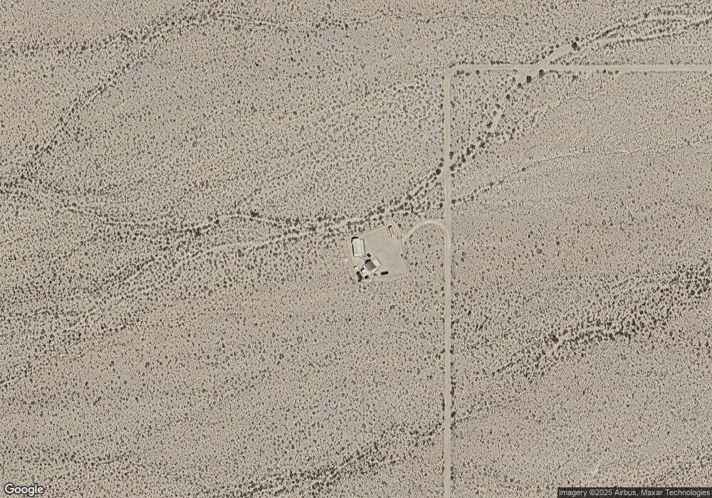
Map
Nearby Homes
- 3501 S Wild Bill Rd
- 00 S Billy the Kid
- 2328 S Tom Mix Rd
- Parcel 439 S Tom Mix Rd
- 3437 E Cowboy Dr
- 3436 E Cowboy Dr
- 17404 S Billy the Kid Rd Unit 2770
- 3245 E Flattop Dr
- 3607 S Kit Carson Rd
- 17404 S Jesse James Rd
- 320 Acres W Brittlebush Dr
- Parcel 922 W Crystal Springs Dr
- Parc 922 W Crystal Springs Dr
- 15333 S Doc Holliday Rd
- 17277 S Wyatt Earp Rd
- 812 Stagecoach Trail
- 18-B S Rainbow Rd
- Lot 205 S Cortaro Rd
- 14176 S Nash Dr
- 14167 Nash Rd Unit 13/30