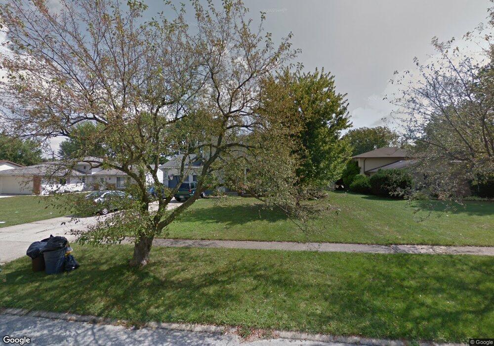
16221 Windsor Dr Strongsville, OH 44136
Estimated Value: $339,372 - $369,000
4
Beds
3
Baths
2,216
Sq Ft
$160/Sq Ft
Est. Value
About This Home
This home is located at 16221 Windsor Dr, Strongsville, OH 44136 and is currently estimated at $353,843, approximately $159 per square foot. 16221 Windsor Dr is a home located in Cuyahoga County with nearby schools including Strongsville High School and Sts Joseph & John Interparochial School.
Ownership History
Date
Name
Owned For
Owner Type
Purchase Details
Closed on
Mar 30, 1999
Sold by
Mcmanus Michael D and Mcmanus Suzanne M
Bought by
Arthur Alan S and Arthur Kimberlie A
Current Estimated Value
Home Financials for this Owner
Home Financials are based on the most recent Mortgage that was taken out on this home.
Original Mortgage
$144,000
Outstanding Balance
$36,009
Interest Rate
6.89%
Estimated Equity
$317,834
Purchase Details
Closed on
Jun 8, 1987
Sold by
Klingensmith H Wendell
Bought by
Mcmanus Michael D
Purchase Details
Closed on
Sep 15, 1978
Sold by
Moraco Paul T
Bought by
Klingensmith H Wendell
Purchase Details
Closed on
Jun 1, 1977
Sold by
Roberts Ned C and Roberts Margaret E
Bought by
Moraco Paul T
Purchase Details
Closed on
Jan 1, 1975
Bought by
Roberts Ned C and Roberts Margaret E
Create a Home Valuation Report for This Property
The Home Valuation Report is an in-depth analysis detailing your home's value as well as a comparison with similar homes in the area
Home Values in the Area
Average Home Value in this Area
Purchase History
| Date | Buyer | Sale Price | Title Company |
|---|---|---|---|
| Arthur Alan S | $160,000 | Chicago Title | |
| Mcmanus Michael D | $105,000 | -- | |
| Klingensmith H Wendell | $78,900 | -- | |
| Moraco Paul T | $67,500 | -- | |
| Roberts Ned C | -- | -- |
Source: Public Records
Mortgage History
| Date | Status | Borrower | Loan Amount |
|---|---|---|---|
| Open | Arthur Alan S | $144,000 |
Source: Public Records
Tax History Compared to Growth
Tax History
| Year | Tax Paid | Tax Assessment Tax Assessment Total Assessment is a certain percentage of the fair market value that is determined by local assessors to be the total taxable value of land and additions on the property. | Land | Improvement |
|---|---|---|---|---|
| 2024 | $5,145 | $109,585 | $20,300 | $89,285 |
| 2023 | $5,148 | $82,220 | $18,690 | $63,530 |
| 2022 | $5,111 | $82,220 | $18,690 | $63,530 |
| 2021 | $5,071 | $82,220 | $18,690 | $63,530 |
| 2020 | $4,699 | $67,410 | $15,330 | $52,080 |
| 2019 | $4,561 | $192,600 | $43,800 | $148,800 |
| 2018 | $4,140 | $67,410 | $15,330 | $52,080 |
| 2017 | $4,349 | $65,560 | $11,410 | $54,150 |
| 2016 | $4,314 | $65,560 | $11,410 | $54,150 |
| 2015 | $4,375 | $65,560 | $11,410 | $54,150 |
| 2014 | $4,375 | $65,560 | $11,410 | $54,150 |
Source: Public Records
Map
Nearby Homes
- 16450 Howe Rd
- 16650 Lanier Ave
- 14826 Lenox Dr
- 14703 Lenox Dr Unit 103
- 17159 Turkey Meadow Ln
- 16969 Antler Ln
- 17130 Golden Star Dr
- 16486 S Red Rock Dr
- 17029 Eagles Nest Cir
- 17069 Partridge Dr
- 0 Mill Hollow Ln Unit 5069608
- 18229 Howe Rd
- 14558 Drake Rd
- 17682 Drake Rd
- 18162 Fawn Cir
- 14132 Walking Stick Way
- 18294 Drake Rd
- 18630 Shurmer Rd
- 17934 Cambridge Oval
- 13513 Suncrest Ct
- 16179 Windsor Dr
- 16229 Windsor Dr
- 16135 Windsor Dr
- 16271 Windsor Dr
- 16222 Howe Rd
- 16230 Howe Rd
- 16180 Howe Rd
- 16222 Windsor Dr
- 16272 Howe Rd
- 16136 Howe Rd
- 16180 Windsor Dr
- 16093 Windsor Dr
- 16230 Windsor Dr
- 16136 Windsor Dr
- 16272 Windsor Dr
- 16094 Howe Rd
- 16051 Windsor Dr
- 16094 Windsor Dr
- 16318 Howe Rd
- 16113 Canterbury Dr