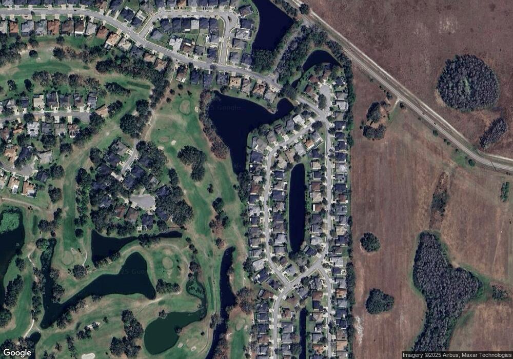
16222 Carnoustie Dr Unit 1 Odessa, FL 33556
Estimated Value: $652,041 - $779,000
4
Beds
3
Baths
2,958
Sq Ft
$246/Sq Ft
Est. Value
About This Home
This home is located at 16222 Carnoustie Dr Unit 1, Odessa, FL 33556 and is currently estimated at $728,010, approximately $246 per square foot. 16222 Carnoustie Dr Unit 1 is a home located in Hillsborough County with nearby schools including Bryant Elementary School, Farnell Middle School, and Sickles High School.
Ownership History
Date
Name
Owned For
Owner Type
Purchase Details
Closed on
Feb 9, 2024
Sold by
Heisler Bruce
Bought by
Heisler Chase A and Heisler Alexis G
Current Estimated Value
Purchase Details
Closed on
Sep 3, 2020
Sold by
Heisler Tracy K
Bought by
Heisler Bruce E
Home Financials for this Owner
Home Financials are based on the most recent Mortgage that was taken out on this home.
Original Mortgage
$210,000
Interest Rate
2.9%
Mortgage Type
New Conventional
Purchase Details
Closed on
Apr 30, 2003
Sold by
Us Home Corp
Bought by
Heisler Bruce and Heisler Tracy K
Home Financials for this Owner
Home Financials are based on the most recent Mortgage that was taken out on this home.
Original Mortgage
$150,000
Interest Rate
5.76%
Mortgage Type
Unknown
Create a Home Valuation Report for This Property
The Home Valuation Report is an in-depth analysis detailing your home's value as well as a comparison with similar homes in the area
Home Values in the Area
Average Home Value in this Area
Purchase History
| Date | Buyer | Sale Price | Title Company |
|---|---|---|---|
| Heisler Chase A | -- | None Listed On Document | |
| Heisler Bruce E | -- | Attorney | |
| Heisler Bruce | $254,100 | North American Title Co |
Source: Public Records
Mortgage History
| Date | Status | Borrower | Loan Amount |
|---|---|---|---|
| Previous Owner | Heisler Bruce E | $210,000 | |
| Previous Owner | Heisler Bruce | $150,000 |
Source: Public Records
Tax History Compared to Growth
Tax History
| Year | Tax Paid | Tax Assessment Tax Assessment Total Assessment is a certain percentage of the fair market value that is determined by local assessors to be the total taxable value of land and additions on the property. | Land | Improvement |
|---|---|---|---|---|
| 2024 | $4,331 | $259,510 | -- | -- |
| 2023 | $4,171 | $251,951 | $0 | $0 |
| 2022 | $4,269 | $244,613 | $0 | $0 |
| 2021 | $4,223 | $237,488 | $0 | $0 |
| 2020 | $4,129 | $234,209 | $0 | $0 |
| 2019 | $4,015 | $228,943 | $0 | $0 |
| 2018 | $3,959 | $224,674 | $0 | $0 |
| 2017 | $3,908 | $292,042 | $0 | $0 |
| 2016 | $3,876 | $215,527 | $0 | $0 |
| 2015 | $3,916 | $214,029 | $0 | $0 |
| 2014 | $3,890 | $212,330 | $0 | $0 |
| 2013 | -- | $209,192 | $0 | $0 |
Source: Public Records
Map
Nearby Homes
- 16226 Carnoustie Dr
- 12514 Eagles Entry Dr
- 16502 Blue Whetstone Ln
- 16469 Turnbury Oak Dr
- 16219 Turnbury Oak Dr
- 16317 Colwood Dr
- 16143 Craigend Place
- 16421 Turnbury Oak Dr
- 16135 Craigend Place
- 16308 Colwood Dr
- 16854 Silver Shores Ln
- 12808 Killarney Ct
- 17006 Silver Shores Ln
- 12512 Silver Villas Ln
- 17020 Silver Shores Ln
- 17026 Silver Shores Ln
- 12906 Red Cardinal Dr
- 12922 Red Cardinal Dr
- 12601 Golf Haven Dr Unit D12
- 16817 Silver Shores Ln
- 16220 Carnoustie Dr Unit 1
- 16224 Carnoustie Dr Unit 1
- 16218 Carnoustie Dr Unit 1
- 16221 Carnoustie Dr Unit 1
- 16223 Carnoustie Dr Unit 1
- 16219 Carnoustie Dr
- 16216 Carnoustie Dr
- 16227 Carnoustie Dr Unit 1
- 16228 Carnoustie Dr
- 16215 Carnoustie Dr Unit 1
- 16214 Carnoustie Dr
- 16231 Carnoustie Dr
- 16230 Carnoustie Dr Unit 1
- 16213 Carnoustie Dr
- 16212 Carnoustie Dr
- 16232 Carnoustie Dr
- 16233 Carnoustie Dr Unit 1
- 16316 Muirfield Dr Unit 1
- 16314 Muirfield Dr Unit 1
- 16318 Muirfield Dr
