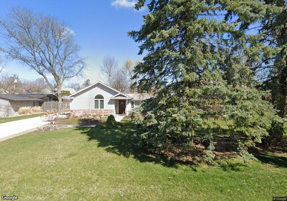
16228 Buckingham Ave Beverly Hills, MI 48025
Estimated Value: $554,578 - $809,000
3
Beds
3
Baths
2,267
Sq Ft
$279/Sq Ft
Est. Value
About This Home
This home is located at 16228 Buckingham Ave, Beverly Hills, MI 48025 and is currently estimated at $632,395, approximately $278 per square foot. 16228 Buckingham Ave is a home located in Oakland County with nearby schools including Wylie E. Groves High School, Greenfield Elementary School, and Berkshire Middle School.
Ownership History
Date
Name
Owned For
Owner Type
Purchase Details
Closed on
Jul 13, 2010
Sold by
Kaiser Thomas J and Kaiser Gayle A Kalil
Bought by
Kaiser Thomas J and Kaiser Gayle A Kalil
Current Estimated Value
Home Financials for this Owner
Home Financials are based on the most recent Mortgage that was taken out on this home.
Original Mortgage
$147,000
Interest Rate
4.81%
Mortgage Type
New Conventional
Purchase Details
Closed on
Dec 21, 1998
Sold by
Kaiser Thomas J
Bought by
Kaiser Thomas J
Create a Home Valuation Report for This Property
The Home Valuation Report is an in-depth analysis detailing your home's value as well as a comparison with similar homes in the area
Home Values in the Area
Average Home Value in this Area
Purchase History
| Date | Buyer | Sale Price | Title Company |
|---|---|---|---|
| Kaiser Thomas J | -- | Abstract Title Agency | |
| Kaiser Thomas J | -- | -- |
Source: Public Records
Mortgage History
| Date | Status | Borrower | Loan Amount |
|---|---|---|---|
| Closed | Kaiser Thomas J | $147,000 |
Source: Public Records
Tax History Compared to Growth
Tax History
| Year | Tax Paid | Tax Assessment Tax Assessment Total Assessment is a certain percentage of the fair market value that is determined by local assessors to be the total taxable value of land and additions on the property. | Land | Improvement |
|---|---|---|---|---|
| 2024 | $4,663 | $233,120 | $0 | $0 |
| 2023 | $4,474 | $215,950 | $0 | $0 |
| 2022 | $4,853 | $204,740 | $0 | $0 |
| 2021 | $4,893 | $195,470 | $0 | $0 |
| 2020 | $4,099 | $189,980 | $0 | $0 |
| 2019 | $3,238 | $181,940 | $0 | $0 |
| 2018 | $4,699 | $158,120 | $0 | $0 |
| 2017 | $4,676 | $158,120 | $0 | $0 |
| 2016 | $4,690 | $147,040 | $0 | $0 |
| 2015 | -- | $136,620 | $0 | $0 |
| 2014 | -- | $120,860 | $0 | $0 |
| 2011 | -- | $103,530 | $0 | $0 |
Source: Public Records
Map
Nearby Homes
- 16217 Birwood Ave
- 32210 Sheridan Dr
- 1886 Henrietta St
- 32463 Sheridan Dr
- 1828 Henrietta St
- 16927 Beverly Rd
- 986 Smith Ave
- 870 Davis Ave
- 350 Catalpa Dr
- 410 Catalpa Dr
- 1859 Stanley Blvd
- 1109 Bird Ave
- 17455 Kinross Ave
- 1748 Stanley Blvd
- 1268 Davis Ave
- 1451 E 14 Mile Rd
- 1723 Birmingham Blvd
- 4218 Normandy Rd
- 31607 Auburn Dr
- 1541 Shipman Blvd
- 16212 Buckingham Ave
- 16244 Buckingham Ave
- 16241 Birwood Ave
- 16249 Birwood Ave
- 16225 Birwood Ave
- 16256 Buckingham Ave
- 16257 Birwood Ave
- 16116 Buckingham Ave
- 16265 Birwood Ave
- 16215 Buckingham Ave
- 16231 Buckingham Ave
- 16273 Birwood Ave
- 16151 Birwood Ave
- 16115 Buckingham Ave
- 16249 Buckingham Ave
- 16281 Birwood Ave
- 16270 Buckingham Ave
- 16100 Buckingham Ave
- 16265 Buckingham Ave
- 16107 Birwood Ave