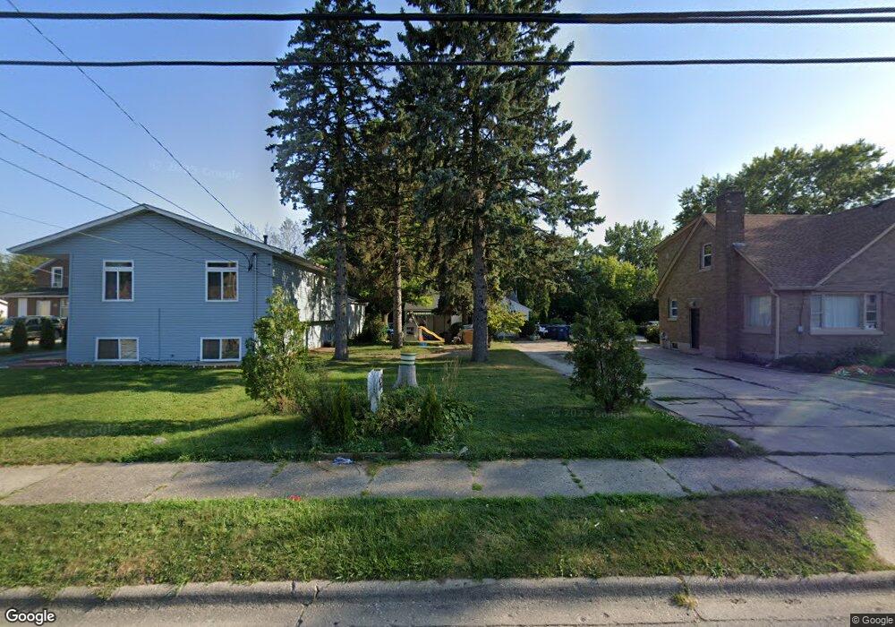
1623 10th St Waukegan, IL 60085
Lyon Acres NeighborhoodEstimated Value: $204,000 - $217,201
2
Beds
1
Bath
956
Sq Ft
$217/Sq Ft
Est. Value
About This Home
This home is located at 1623 10th St, Waukegan, IL 60085 and is currently estimated at $207,800, approximately $217 per square foot. 1623 10th St is a home located in Lake County with nearby schools including Clearview Elementary School, John R Lewis Middle School, and Waukegan High School.
Ownership History
Date
Name
Owned For
Owner Type
Purchase Details
Closed on
Aug 22, 1997
Sold by
Mears Vincent J and Mears Anne T
Bought by
Albarran Mario S
Current Estimated Value
Home Financials for this Owner
Home Financials are based on the most recent Mortgage that was taken out on this home.
Original Mortgage
$57,500
Interest Rate
7.43%
Mortgage Type
FHA
Create a Home Valuation Report for This Property
The Home Valuation Report is an in-depth analysis detailing your home's value as well as a comparison with similar homes in the area
Home Values in the Area
Average Home Value in this Area
Purchase History
| Date | Buyer | Sale Price | Title Company |
|---|---|---|---|
| Albarran Mario S | $38,666 | -- | |
| Albarran Mario S | -- | -- | |
| Albarran Mario S | -- | -- |
Source: Public Records
Mortgage History
| Date | Status | Borrower | Loan Amount |
|---|---|---|---|
| Previous Owner | Albarran Mario S | $57,500 |
Source: Public Records
Tax History Compared to Growth
Tax History
| Year | Tax Paid | Tax Assessment Tax Assessment Total Assessment is a certain percentage of the fair market value that is determined by local assessors to be the total taxable value of land and additions on the property. | Land | Improvement |
|---|---|---|---|---|
| 2024 | $3,397 | $54,482 | $18,385 | $36,097 |
| 2023 | $3,224 | $44,713 | $15,088 | $29,625 |
| 2022 | $3,224 | $39,423 | $12,516 | $26,907 |
| 2021 | $3,420 | $39,356 | $11,164 | $28,192 |
| 2020 | $3,420 | $36,665 | $10,401 | $26,264 |
| 2019 | $3,390 | $33,598 | $9,531 | $24,067 |
| 2018 | $3,531 | $34,031 | $5,901 | $28,130 |
| 2017 | $3,384 | $30,108 | $5,221 | $24,887 |
| 2016 | $3,078 | $26,163 | $4,537 | $21,626 |
| 2015 | $2,871 | $23,417 | $4,061 | $19,356 |
| 2014 | $1,456 | $14,274 | $2,509 | $11,765 |
| 2012 | $2,273 | $15,465 | $2,719 | $12,746 |
Source: Public Records
Map
Nearby Homes
- 1712 11th St
- 819 S Fulton Ave
- 1511 14th St
- 1244 Victoria Ave
- 724 10th St
- 1210 Park Ave
- 1521 Seymour Ave
- 815 Prescott St
- 910 Cummings Ave
- 720 13th St
- 1101 Adams St
- 1423 Victoria Ave
- 1301 Park Ave
- 1617 Grove Ave
- 1102 Wadsworth Ave
- 1535 Glenn Dr
- 631 8th St
- 842 Wadsworth Ave
- 1542 Victoria Ave
- 446 S Jackson St