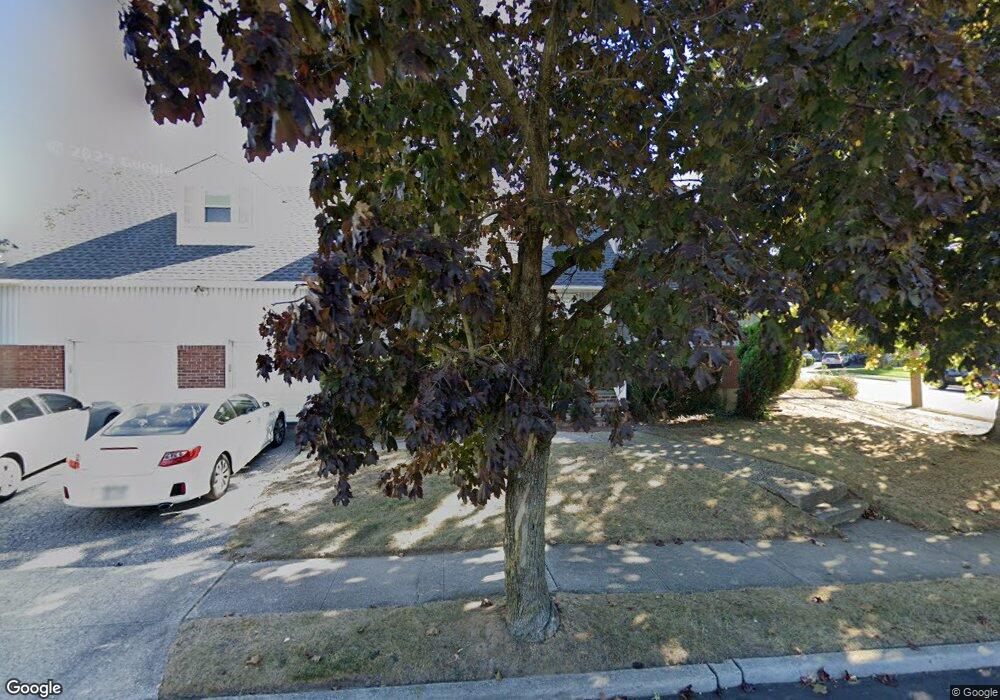
1623 Northridge Ave Merrick, NY 11566
Estimated Value: $701,222 - $737,000
--
Bed
--
Bath
1,779
Sq Ft
$404/Sq Ft
Est. Value
About This Home
This home is located at 1623 Northridge Ave, Merrick, NY 11566 and is currently estimated at $719,111, approximately $404 per square foot. 1623 Northridge Ave is a home with nearby schools including Burcham Elementary School, Merrick Avenue Middle School, and Waynoka High School.
Ownership History
Date
Name
Owned For
Owner Type
Purchase Details
Closed on
Aug 15, 2019
Sold by
Habib Sara and Habib Adel
Bought by
Habib Sara and Habib Nadia
Current Estimated Value
Home Financials for this Owner
Home Financials are based on the most recent Mortgage that was taken out on this home.
Original Mortgage
$190,563
Interest Rate
3.2%
Mortgage Type
New Conventional
Purchase Details
Closed on
Apr 8, 2004
Sold by
Habib Adel
Purchase Details
Closed on
Feb 11, 2004
Sold by
Fleschner Irene
Bought by
Habib Adel
Create a Home Valuation Report for This Property
The Home Valuation Report is an in-depth analysis detailing your home's value as well as a comparison with similar homes in the area
Home Values in the Area
Average Home Value in this Area
Purchase History
| Date | Buyer | Sale Price | Title Company |
|---|---|---|---|
| Habib Sara | $35,000 | Titlevest Agency Llc | |
| -- | -- | -- | |
| Habib Adel | $380,000 | -- |
Source: Public Records
Mortgage History
| Date | Status | Borrower | Loan Amount |
|---|---|---|---|
| Open | Habib Sara | $352,500 | |
| Previous Owner | Habib Sara | $190,563 |
Source: Public Records
Tax History Compared to Growth
Tax History
| Year | Tax Paid | Tax Assessment Tax Assessment Total Assessment is a certain percentage of the fair market value that is determined by local assessors to be the total taxable value of land and additions on the property. | Land | Improvement |
|---|---|---|---|---|
| 2025 | $14,828 | $512 | $180 | $332 |
| 2024 | $4,004 | $548 | $193 | $355 |
| 2023 | $13,086 | $534 | $188 | $346 |
| 2022 | $13,086 | $548 | $193 | $355 |
| 2021 | $17,480 | $530 | $187 | $343 |
| 2020 | $11,748 | $561 | $492 | $69 |
| 2019 | $10,441 | $601 | $494 | $107 |
| 2018 | $10,537 | $641 | $0 | $0 |
| 2017 | $7,538 | $681 | $498 | $183 |
| 2016 | $10,584 | $721 | $476 | $245 |
| 2015 | $3,143 | $761 | $447 | $314 |
| 2014 | $3,143 | $761 | $447 | $314 |
| 2013 | $3,082 | $799 | $470 | $329 |
Source: Public Records
Map
Nearby Homes
- 1750 Henry Rd
- 1650 Bridge St
- 1772 Rose St
- 1617 Richard Ave
- 49 Prospect St
- 49 Elizabeth St
- 25 Bainbridge St
- 101 Northridge Ave
- 142 Gormley Ave
- 1706 Old Mill Rd
- 12 Washington Dr
- 1580 Little Whaleneck Rd
- 1531 Merrick Ave
- 2005 Abbot Ave
- 10 Sheridan Place
- 1800 Remson Ave
- 1938 Meadowbrook Rd
- 2 Garfield St
- 1729 Gormley Ave
- 114 Frederick Ave
- 1623 Bridge St
- 1709 Camp Ave
- 11 Northridge Ave
- 16 Northridge Ave
- 11 Montague Ave
- 1698 Camp Ave
- 1687 Camp Ave
- 15 Montague Ave
- 1692 Camp Ave
- 17 Northridge Ave
- 1710 Camp Ave
- 24 Northridge Ave
- 21 Northridge Ave
- 17 Montague Ave
- 1685 Camp Ave
- 1676 Camp Ave
- 1716 Camp Ave
- 25 Northridge Ave
- 25 Northridge Ave Unit 2
- 1629 Meadowbrook Rd