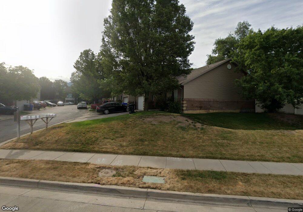
1623 S Main St Bountiful, UT 84010
Estimated Value: $373,000 - $448,000
4
Beds
2
Baths
1,900
Sq Ft
$215/Sq Ft
Est. Value
About This Home
This home is located at 1623 S Main St, Bountiful, UT 84010 and is currently estimated at $408,675, approximately $215 per square foot. 1623 S Main St is a home located in Davis County with nearby schools including Bountiful Elementary School, Mueller Park Junior High School, and Bountiful High School.
Ownership History
Date
Name
Owned For
Owner Type
Purchase Details
Closed on
Dec 21, 2005
Sold by
Schafir Dixie
Bought by
Loomis Michelle
Current Estimated Value
Purchase Details
Closed on
Oct 26, 2005
Sold by
S&K Enterprises Lc
Bought by
Schafir Dixie
Purchase Details
Closed on
Feb 1, 1999
Sold by
S K Enterprises Lc
Bought by
S & K Enterprises Lc
Home Financials for this Owner
Home Financials are based on the most recent Mortgage that was taken out on this home.
Original Mortgage
$322,411
Interest Rate
6.79%
Create a Home Valuation Report for This Property
The Home Valuation Report is an in-depth analysis detailing your home's value as well as a comparison with similar homes in the area
Purchase History
| Date | Buyer | Sale Price | Title Company |
|---|---|---|---|
| Loomis Michelle | -- | Westland Title Ins Ag Of Ut | |
| Schafir Dixie | -- | Westland Title Ins Ag Of Ut | |
| S & K Enterprises Lc | -- | First American Title Co |
Source: Public Records
Mortgage History
| Date | Status | Borrower | Loan Amount |
|---|---|---|---|
| Previous Owner | S & K Enterprises Lc | $322,411 |
Source: Public Records
Tax History
| Year | Tax Paid | Tax Assessment Tax Assessment Total Assessment is a certain percentage of the fair market value that is determined by local assessors to be the total taxable value of land and additions on the property. | Land | Improvement |
|---|---|---|---|---|
| 2025 | $2,166 | $204,600 | $48,950 | $155,650 |
| 2024 | $2,059 | $198,550 | $54,450 | $144,100 |
| 2023 | $2,050 | $197,450 | $51,150 | $146,300 |
| 2022 | $2,085 | $364,000 | $59,000 | $305,000 |
| 2021 | $2,026 | $285,000 | $46,000 | $239,000 |
| 2020 | $1,804 | $267,000 | $42,600 | $224,400 |
| 2019 | $1,766 | $255,000 | $39,000 | $216,000 |
| 2018 | $1,571 | $223,000 | $36,000 | $187,000 |
| 2016 | $1,377 | $105,930 | $17,600 | $88,330 |
| 2015 | $1,209 | $85,800 | $17,600 | $68,200 |
| 2014 | $1,286 | $95,743 | $18,333 | $77,410 |
| 2013 | -- | $84,448 | $14,850 | $69,598 |
Source: Public Records
Map
Nearby Homes
Your Personal Tour Guide
Ask me questions while you tour the home.