16230 Carnoustie Dr Unit 1 Odessa, FL 33556
Estimated Value: $696,434 - $774,000
4
Beds
3
Baths
2,719
Sq Ft
$266/Sq Ft
Est. Value
About This Home
This home is located at 16230 Carnoustie Dr Unit 1, Odessa, FL 33556 and is currently estimated at $722,609, approximately $265 per square foot. 16230 Carnoustie Dr Unit 1 is a home located in Hillsborough County with nearby schools including Bryant Elementary School, Farnell Middle School, and Sickles High School.
Ownership History
Date
Name
Owned For
Owner Type
Purchase Details
Closed on
Jun 13, 2025
Sold by
Phipps Troy R and Phipps Brenda K
Bought by
Phipps Troy R and Phipps Brenda K
Current Estimated Value
Purchase Details
Closed on
May 2, 2003
Sold by
Us Home Corp
Bought by
Phipps Troy R and Phipps Brenda K
Home Financials for this Owner
Home Financials are based on the most recent Mortgage that was taken out on this home.
Original Mortgage
$100,000
Interest Rate
5.76%
Mortgage Type
Unknown
Create a Home Valuation Report for This Property
The Home Valuation Report is an in-depth analysis detailing your home's value as well as a comparison with similar homes in the area
Home Values in the Area
Average Home Value in this Area
Purchase History
| Date | Buyer | Sale Price | Title Company |
|---|---|---|---|
| Phipps Troy R | -- | None Listed On Document | |
| Phipps Troy R | $257,800 | North American Title Co |
Source: Public Records
Mortgage History
| Date | Status | Borrower | Loan Amount |
|---|---|---|---|
| Previous Owner | Phipps Troy R | $100,000 |
Source: Public Records
Tax History
| Year | Tax Paid | Tax Assessment Tax Assessment Total Assessment is a certain percentage of the fair market value that is determined by local assessors to be the total taxable value of land and additions on the property. | Land | Improvement |
|---|---|---|---|---|
| 2025 | $4,905 | $301,115 | -- | -- |
| 2024 | $4,905 | $292,629 | -- | -- |
| 2023 | $4,730 | $284,106 | $0 | $0 |
| 2022 | $4,815 | $275,831 | $0 | $0 |
| 2021 | $4,765 | $267,797 | $0 | $0 |
| 2020 | $4,668 | $264,100 | $0 | $0 |
| 2019 | $4,548 | $258,162 | $0 | $0 |
| 2018 | $4,490 | $253,348 | $0 | $0 |
| 2017 | $4,435 | $321,956 | $0 | $0 |
| 2016 | $4,401 | $243,033 | $0 | $0 |
| 2015 | $4,448 | $241,344 | $0 | $0 |
| 2014 | $3,931 | $214,429 | $0 | $0 |
| 2013 | -- | $211,260 | $0 | $0 |
Source: Public Records
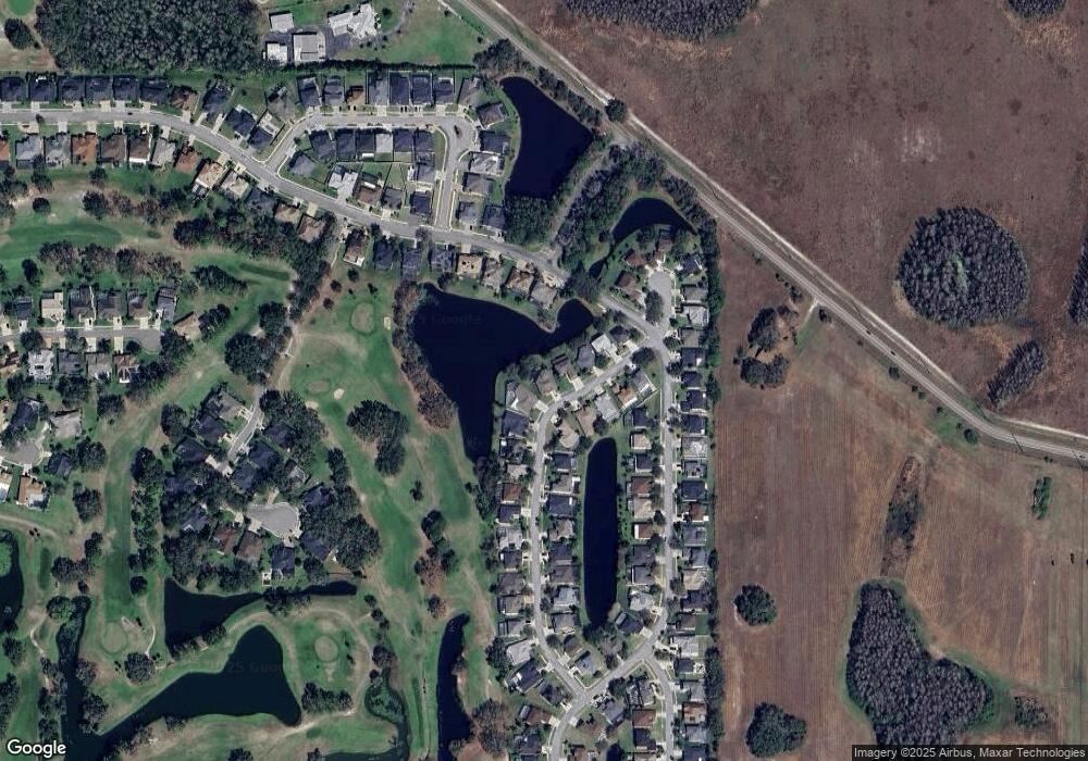
Map
Nearby Homes
- 16116 Lytham Dr
- 16928 Silver Shores Ln Unit 73
- 12404 Maidstone Ct
- 16914 Silver Shores Ln Unit 69
- 16306 Colwood Dr
- 17020 Silver Shores Ln
- 16105 Craigend Place Unit B
- 12922 Red Cardinal Dr
- 16817 Silver Shores Ln
- 17068 Silver Shores Ln
- 15906 Prince William Place
- 16801 Okoboji Ln
- 12957 Royal George Ave
- 11526 Trotting Down Dr
- 15624 Eastbourn Dr
- 12511 Royal Dublin Ave
- 11316 Hutchens Ave
- 13101 Royal George Ave
- 16240 Alpha Grove Place
- 16227 Alpha Grove Place
- 16228 Carnoustie Dr
- 16232 Carnoustie Dr
- 16234 Carnoustie Dr
- 16227 Carnoustie Dr Unit 1
- 16231 Carnoustie Dr
- 16236 Carnoustie Dr
- 16233 Carnoustie Dr Unit 1
- 16224 Carnoustie Dr Unit 1
- 12402 Eagles Entry Dr
- 16235 Carnoustie Dr
- 16238 Carnoustie Dr
- 16223 Carnoustie Dr Unit 1
- 12404 Eagles Entry Dr
- 16222 Carnoustie Dr Unit 1
- 16237 Carnoustie Dr Unit 1
- 16322 Muirfield Dr Unit 1
- 16221 Carnoustie Dr Unit 1
- 12406 Eagles Entry Dr
- 16318 Muirfield Dr
- 16220 Carnoustie Dr Unit 1
Your Personal Tour Guide
Ask me questions while you tour the home.