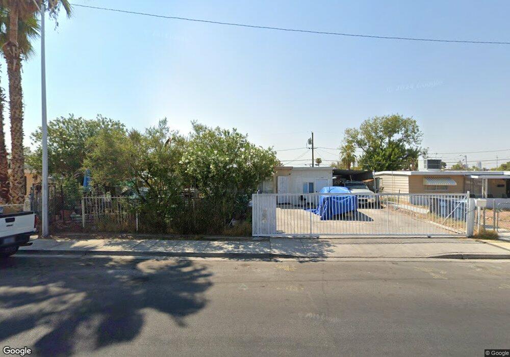
1624 Atlantic St Las Vegas, NV 89104
Huntridge NeighborhoodEstimated Value: $275,047 - $313,000
2
Beds
1
Bath
924
Sq Ft
$313/Sq Ft
Est. Value
About This Home
This home is located at 1624 Atlantic St, Las Vegas, NV 89104 and is currently estimated at $289,012, approximately $312 per square foot. 1624 Atlantic St is a home located in Clark County with nearby schools including Crestwood Elementary School, Knudson Academy of the Arts, and Valley High School.
Ownership History
Date
Name
Owned For
Owner Type
Purchase Details
Closed on
Feb 17, 2000
Sold by
K S Nevada Inc
Bought by
Garay Noel Wilfredo
Current Estimated Value
Home Financials for this Owner
Home Financials are based on the most recent Mortgage that was taken out on this home.
Original Mortgage
$83,214
Outstanding Balance
$27,508
Interest Rate
8.16%
Mortgage Type
FHA
Estimated Equity
$261,504
Purchase Details
Closed on
Aug 20, 1999
Sold by
Canizales Martha N
Bought by
Ks Nevada Inc
Create a Home Valuation Report for This Property
The Home Valuation Report is an in-depth analysis detailing your home's value as well as a comparison with similar homes in the area
Home Values in the Area
Average Home Value in this Area
Purchase History
| Date | Buyer | Sale Price | Title Company |
|---|---|---|---|
| Garay Noel Wilfredo | $83,900 | First American Title Co | |
| Ks Nevada Inc | $57,500 | Fidelity National Title Agen |
Source: Public Records
Mortgage History
| Date | Status | Borrower | Loan Amount |
|---|---|---|---|
| Open | Garay Noel Wilfredo | $83,214 |
Source: Public Records
Tax History Compared to Growth
Tax History
| Year | Tax Paid | Tax Assessment Tax Assessment Total Assessment is a certain percentage of the fair market value that is determined by local assessors to be the total taxable value of land and additions on the property. | Land | Improvement |
|---|---|---|---|---|
| 2025 | $460 | $36,563 | $23,800 | $12,763 |
| 2024 | $447 | $36,563 | $23,800 | $12,763 |
| 2023 | $447 | $38,818 | $27,300 | $11,518 |
| 2022 | $434 | $24,337 | $14,000 | $10,337 |
| 2021 | $421 | $21,832 | $12,250 | $9,582 |
| 2020 | $406 | $21,542 | $12,250 | $9,292 |
| 2019 | $401 | $21,243 | $12,250 | $8,993 |
| 2018 | $383 | $18,589 | $10,150 | $8,439 |
| 2017 | $549 | $16,761 | $8,400 | $8,361 |
| 2016 | $360 | $14,772 | $6,650 | $8,122 |
| 2015 | $358 | $12,430 | $4,550 | $7,880 |
| 2014 | $347 | $10,274 | $3,500 | $6,774 |
Source: Public Records
Map
Nearby Homes
- 1716 Pacific St
- 1404 Atlantic St
- 2421 Howard Dr
- 1908 Ardmore St
- 2105 E Saint Louis Ave
- 2124 Paradise
- 2013 Bracken Ave
- 2705 Howard Dr
- 2875 Fremont St
- 2013 Franklin Ave
- 2912 Scarlet Oak Ave
- 2004 Houston Dr
- 1828 Hassett Ave
- 1825 Griffith Ave
- 2345 Stockton Ave
- 1905 Franklin Ave
- 3037 Scarlet Oak Ave
- 1913 Houston Dr
- 1809 E Saint Louis Ave
- 1821 Franklin Ave
- 1618 Atlantic St
- 1700 Atlantic St
- 1625 Pacific St
- 1614 Atlantic St
- 1704 Atlantic St
- 1704 Atlantic St Unit none
- 1621 Pacific St
- 1701 Pacific St
- 1615 Pacific St
- 1705 Pacific St
- 1623 Atlantic St
- 1701 Atlantic St
- 1615 Atlantic St
- 1615 Atlantic St Unit 1
- 2218 E Oakey Blvd
- 1708 Atlantic St
- 3139 E Sahara Ave
- 1705 Atlantic St
- 2212 E Oakey Blvd
- 1709 Pacific St