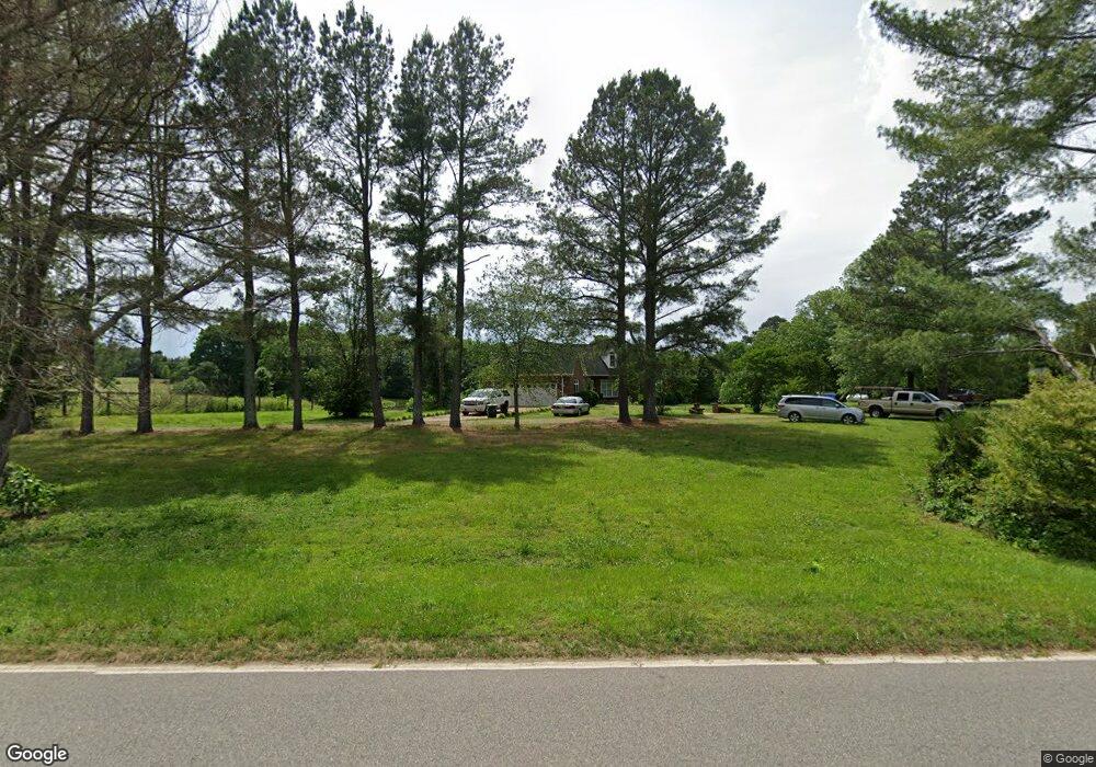
1624 Haw Branch Rd Sanford, NC 27330
Estimated Value: $345,000 - $601,000
3
Beds
4
Baths
3,745
Sq Ft
$123/Sq Ft
Est. Value
About This Home
This home is located at 1624 Haw Branch Rd, Sanford, NC 27330 and is currently estimated at $460,091, approximately $122 per square foot. 1624 Haw Branch Rd is a home with nearby schools including Carthage Elementary School, New Century Middle School, and Union Pines High School.
Ownership History
Date
Name
Owned For
Owner Type
Purchase Details
Closed on
Nov 24, 2017
Sold by
Holder Margaret O
Bought by
Holder Charles Wilson
Current Estimated Value
Home Financials for this Owner
Home Financials are based on the most recent Mortgage that was taken out on this home.
Original Mortgage
$176,739
Outstanding Balance
$147,706
Interest Rate
3.75%
Mortgage Type
FHA
Estimated Equity
$312,385
Purchase Details
Closed on
Oct 28, 2010
Sold by
Holder Charles L and Holder Margaret O
Bought by
Holder Charles L and Holder Margaret O
Create a Home Valuation Report for This Property
The Home Valuation Report is an in-depth analysis detailing your home's value as well as a comparison with similar homes in the area
Home Values in the Area
Average Home Value in this Area
Purchase History
| Date | Buyer | Sale Price | Title Company |
|---|---|---|---|
| Holder Charles Wilson | $180,000 | None Available | |
| Holder Charles L | -- | None Available |
Source: Public Records
Mortgage History
| Date | Status | Borrower | Loan Amount |
|---|---|---|---|
| Open | Holder Charles Wilson | $176,739 |
Source: Public Records
Tax History Compared to Growth
Tax History
| Year | Tax Paid | Tax Assessment Tax Assessment Total Assessment is a certain percentage of the fair market value that is determined by local assessors to be the total taxable value of land and additions on the property. | Land | Improvement |
|---|---|---|---|---|
| 2024 | $1,801 | $414,090 | $13,150 | $400,940 |
| 2023 | $1,884 | $414,090 | $13,150 | $400,940 |
| 2022 | $1,878 | $298,120 | $11,410 | $286,710 |
| 2021 | $1,953 | $298,120 | $11,410 | $286,710 |
| 2020 | $1,923 | $298,120 | $11,410 | $286,710 |
| 2019 | $1,923 | $298,120 | $11,410 | $286,710 |
| 2018 | $1,744 | $290,730 | $10,420 | $280,310 |
| 2017 | $1,701 | $290,730 | $10,420 | $280,310 |
| 2015 | $1,643 | $290,730 | $10,420 | $280,310 |
| 2014 | -- | $362,650 | $20,390 | $342,260 |
| 2013 | -- | $362,650 | $20,390 | $342,260 |
Source: Public Records
Map
Nearby Homes
- 244 Rascob Rd
- 1403 Lakewood Falls Rd
- 0 Winding Creek Dr
- 846 S Plank Rd
- 191 Newell Ln
- 5337 Steel Bridge Rd
- 649 S Plank Rd
- 0 S Plank Rd Unit 10073337
- 000 S Plank Rd
- 0 S Plank (Track 2) Rd
- 4093 Nc Highway 42
- 4093 N Carolina 42
- 5405 Carbonton Rd
- 204 Hilltop Rd
- 0 Underwood Rd Unit 547501
- 0 S Us 301 Hwy Unit 10097976
- 0 Herman Ln
- 73 Hilltop Rd
- 0 Jennifer Ln
- 2847 Pickard Rd
- 1534 Haw Branch Rd
- 1514 Haw Branch Rd
- 1323 S Carbonton Rd
- 1549 Haw Branch Rd
- 1553 Haw Branch Rd
- 1499 Haw Branch Rd
- 1515 S Carbonton Rd
- 11 P1059
- 1259 S Carbonton Rd
- 1651 S Carbonton Rd
- 1651 S Carbonton Rd
- 1620 S Carbonton Rd
- 470 Deep River Trail
- 470 & 476 Deep River Trail
- 470 & 476 Deep River Trail
- 250 Deep River Rd
- 240 Deep River Trail
- 0 S Carbonton Rd
- 1140 Haw Branch Rd
- 8090 Steel Bridge Rd