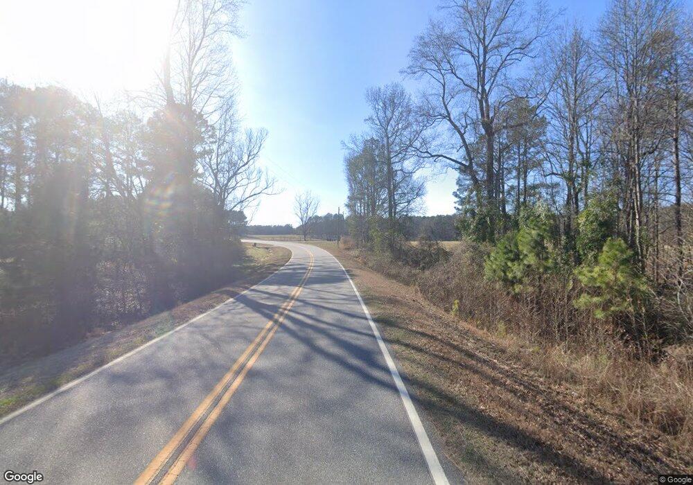
1624 Moores Ford Rd Bogart, GA 30622
Estimated Value: $780,000 - $1,745,369
--
Bed
--
Bath
1,950
Sq Ft
$592/Sq Ft
Est. Value
About This Home
This home is located at 1624 Moores Ford Rd, Bogart, GA 30622 and is currently estimated at $1,154,123, approximately $591 per square foot. 1624 Moores Ford Rd is a home with nearby schools including Rocky Branch Elementary School, Malcom Bridge Middle School, and North Oconee High School.
Ownership History
Date
Name
Owned For
Owner Type
Purchase Details
Closed on
Oct 27, 2016
Sold by
James C
Bought by
Packer Time Llc
Current Estimated Value
Purchase Details
Closed on
Apr 28, 2005
Sold by
Davis James A
Bought by
Harrison James C and Harrison Nancy R
Home Financials for this Owner
Home Financials are based on the most recent Mortgage that was taken out on this home.
Original Mortgage
$784,860
Interest Rate
5.98%
Mortgage Type
New Conventional
Create a Home Valuation Report for This Property
The Home Valuation Report is an in-depth analysis detailing your home's value as well as a comparison with similar homes in the area
Home Values in the Area
Average Home Value in this Area
Purchase History
| Date | Buyer | Sale Price | Title Company |
|---|---|---|---|
| Packer Time Llc | $353,000 | -- | |
| Harrison James C | $871,500 | -- |
Source: Public Records
Mortgage History
| Date | Status | Borrower | Loan Amount |
|---|---|---|---|
| Previous Owner | Harrison James C | $784,860 |
Source: Public Records
Tax History Compared to Growth
Tax History
| Year | Tax Paid | Tax Assessment Tax Assessment Total Assessment is a certain percentage of the fair market value that is determined by local assessors to be the total taxable value of land and additions on the property. | Land | Improvement |
|---|---|---|---|---|
| 2024 | $4,272 | $521,639 | $335,900 | $185,739 |
| 2023 | $4,141 | $470,719 | $292,089 | $178,630 |
| 2022 | $4,006 | $410,948 | $253,990 | $156,958 |
| 2021 | $3,917 | $330,889 | $186,504 | $144,385 |
| 2020 | $3,682 | $305,565 | $169,786 | $135,779 |
| 2019 | $2,439 | $280,901 | $156,204 | $124,697 |
| 2018 | $3,950 | $260,816 | $142,002 | $118,814 |
| 2017 | $291 | $133,149 | $133,149 | $0 |
| 2016 | $678 | $240,080 | $240,080 | $0 |
| 2015 | $660 | $240,080 | $240,080 | $0 |
| 2014 | -- | $211,837 | $211,837 | $0 |
| 2013 | -- | $254,834 | $254,834 | $0 |
Source: Public Records
Map
Nearby Homes
- 0 Monroe Hwy Unit 1025333
- 1621 Westland Ct
- 1621 Westland Ct Unit 2014 B
- 1383 Westland Ct
- 1547 Westland Ct
- 1383 Westland Ct Unit 17D
- 1383 Westland Ct
- 1111 Brookside Terrace Unit 2011D
- 1111 Brookside Terrace
- 1111 Brookside Terrace
- Marlene Plan at Westland
- 1547 Westland Ct
- Hampshire Plan at Westland
- 1621 Westland Ct
- Jean Lee Plan at Westland
- Edison Plan at Westland
- 1547 Westland Ct Unit 2015
- Summit Plan at Westland
- 2903 Brookstone Crossing Unit 34-B
- 2903 Brookstone Crossing
- 0 Lake Oconee Rd Unit 7217967
- 0 Lake Oconee Rd Unit 7478861
- 0 Lake Oconee Rd Unit 1005047
- 1042 Lake Oconee Rd
- 1461 Lake Oconee Rd
- 1040 Lake Oconee Rd
- 1060 Lake Oconee Rd
- 1370 Lake Oconee Rd
- 1380 Lake Oconee Rd
- 5261 Monroe Hwy
- 1044 Lake Oconee Rd
- 5071 Monroe Hwy
- 5031 Monroe Hwy
- 1626 Moores Ford Rd
- 1626 Moores Ford Rd
- 5260 Monroe Hwy
- 1885 Riverpoint Dr Unit 7E
- 1472 Riverpoint Dr
- 1472 Riverpoint Dr Unit 1E
- 1574 Riverpoint Dr
