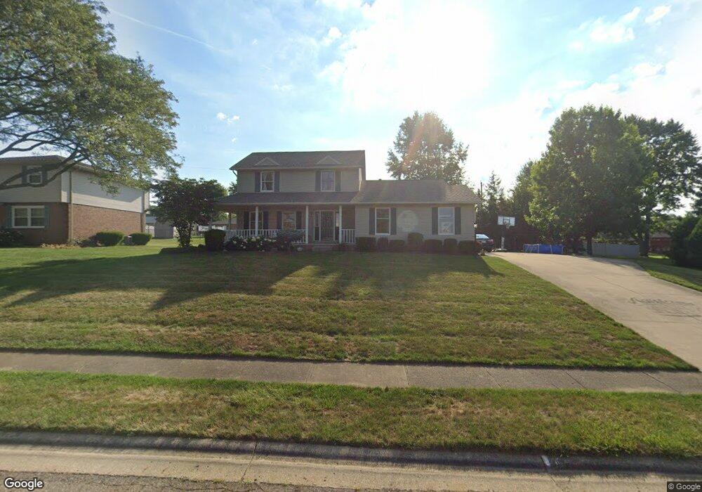
1624 Noel St Louisville, OH 44641
Estimated Value: $272,611 - $313,000
3
Beds
3
Baths
1,792
Sq Ft
$160/Sq Ft
Est. Value
About This Home
This home is located at 1624 Noel St, Louisville, OH 44641 and is currently estimated at $285,903, approximately $159 per square foot. 1624 Noel St is a home located in Stark County with nearby schools including Louisville High School and St. Thomas Aquinas High School & Middle School.
Ownership History
Date
Name
Owned For
Owner Type
Purchase Details
Closed on
Feb 16, 2021
Sold by
Thomas Christine A
Bought by
Thomas Christine A and Christine A Thomas Trust
Current Estimated Value
Purchase Details
Closed on
Jan 5, 2005
Sold by
Decker Louis R
Bought by
Thomas Michael A and Thomas Christine A
Home Financials for this Owner
Home Financials are based on the most recent Mortgage that was taken out on this home.
Original Mortgage
$179,000
Interest Rate
5.22%
Mortgage Type
Purchase Money Mortgage
Purchase Details
Closed on
Jan 30, 2003
Sold by
Decker Holly L
Bought by
Decker Louis R
Create a Home Valuation Report for This Property
The Home Valuation Report is an in-depth analysis detailing your home's value as well as a comparison with similar homes in the area
Home Values in the Area
Average Home Value in this Area
Purchase History
| Date | Buyer | Sale Price | Title Company |
|---|---|---|---|
| Thomas Christine A | -- | None Available | |
| Thomas Michael A | $179,000 | -- | |
| Decker Louis R | -- | -- |
Source: Public Records
Mortgage History
| Date | Status | Borrower | Loan Amount |
|---|---|---|---|
| Closed | Thomas Michael A | $179,000 |
Source: Public Records
Tax History Compared to Growth
Tax History
| Year | Tax Paid | Tax Assessment Tax Assessment Total Assessment is a certain percentage of the fair market value that is determined by local assessors to be the total taxable value of land and additions on the property. | Land | Improvement |
|---|---|---|---|---|
| 2025 | -- | $84,600 | $24,850 | $59,750 |
| 2024 | -- | $84,600 | $24,850 | $59,750 |
| 2023 | $2,699 | $62,800 | $19,430 | $43,370 |
| 2022 | $2,705 | $62,800 | $19,430 | $43,370 |
| 2021 | $2,712 | $62,800 | $19,430 | $43,370 |
| 2020 | $2,255 | $56,700 | $17,500 | $39,200 |
| 2019 | $2,264 | $56,710 | $17,510 | $39,200 |
| 2018 | $2,256 | $56,710 | $17,510 | $39,200 |
| 2017 | $2,063 | $50,030 | $14,500 | $35,530 |
| 2016 | $2,105 | $50,030 | $14,500 | $35,530 |
| 2015 | $2,111 | $50,030 | $14,500 | $35,530 |
| 2014 | $92 | $46,100 | $13,340 | $32,760 |
| 2013 | $1,050 | $46,100 | $13,340 | $32,760 |
Source: Public Records
Map
Nearby Homes
- 1561 Noel St
- 0 Pilot Knob Ave NE
- 6285 California Ave
- 5700 Broadway Ave
- 0 Brookridge Ave
- 5623 Shallow Creek Ave
- 0 Glenbar St
- 5470 Alcorn Ave
- 704 Reno Dr
- 6083 Apple St
- 5700 Glena St
- 6395 Easton St NE
- 414 Honeycrisp Dr NE
- 300 Kennedy St
- 248 Menegay Rd
- Forsythia Plan at Orchard Park - Aspire Single Family Collection
- Goldenrod Plan at Orchard Park - Aspire Single Family Collection
- Water Lily Plan at Orchard Park - Aspire Single Family Collection
- Oleander Plan at Orchard Park - Aspire Single Family Collection
- Beckfield Plan at Orchard Park - Aspire Townhome Collection