16241 Low Gap Rd West Fork, AR 72774
Estimated Value: $241,998 - $291,000
Studio
1
Bath
1,552
Sq Ft
$168/Sq Ft
Est. Value
About This Home
This home is located at 16241 Low Gap Rd, West Fork, AR 72774 and is currently estimated at $261,333, approximately $168 per square foot. 16241 Low Gap Rd is a home located in Washington County with nearby schools including Greenland Middle School, Greenland Elementary School, and Greenland High School.
Ownership History
Date
Name
Owned For
Owner Type
Purchase Details
Closed on
May 5, 1988
Bought by
Lewis James W and Lewis Ida K
Current Estimated Value
Purchase Details
Closed on
Apr 13, 1987
Bought by
Carpenter William and Carpenter Cassie L
Purchase Details
Closed on
Sep 9, 1986
Bought by
Administrator Of Veterans Affair
Purchase Details
Closed on
Aug 19, 1986
Bought by
Union National Bank Of Little and Rock Ark
Purchase Details
Closed on
Jan 1, 1985
Bought by
Cooper Ronald Dean and Cooper Oval A
Create a Home Valuation Report for This Property
The Home Valuation Report is an in-depth analysis detailing your home's value as well as a comparison with similar homes in the area
Purchase History
| Date | Buyer | Sale Price | Title Company |
|---|---|---|---|
| Lewis James W | $36,000 | -- | |
| Carpenter William | -- | -- | |
| Administrator Of Veterans Affair | -- | -- | |
| Union National Bank Of Little | -- | -- | |
| Cooper Ronald Dean | -- | -- |
Source: Public Records
Tax History
| Year | Tax Paid | Tax Assessment Tax Assessment Total Assessment is a certain percentage of the fair market value that is determined by local assessors to be the total taxable value of land and additions on the property. | Land | Improvement |
|---|---|---|---|---|
| 2025 | $207 | $30,620 | $3,730 | $26,890 |
| 2024 | $515 | $30,620 | $3,730 | $26,890 |
| 2023 | $557 | $30,620 | $3,730 | $26,890 |
| 2022 | $591 | $20,260 | $2,730 | $17,530 |
| 2021 | $551 | $20,260 | $2,730 | $17,530 |
| 2020 | $510 | $20,260 | $2,730 | $17,530 |
| 2019 | $470 | $17,520 | $2,210 | $15,310 |
| 2018 | $495 | $17,520 | $2,210 | $15,310 |
| 2017 | $441 | $17,520 | $2,210 | $15,310 |
| 2016 | $486 | $17,520 | $2,210 | $15,310 |
| 2015 | $472 | $17,520 | $2,210 | $15,310 |
| 2014 | $427 | $16,085 | $1,255 | $14,830 |
Source: Public Records
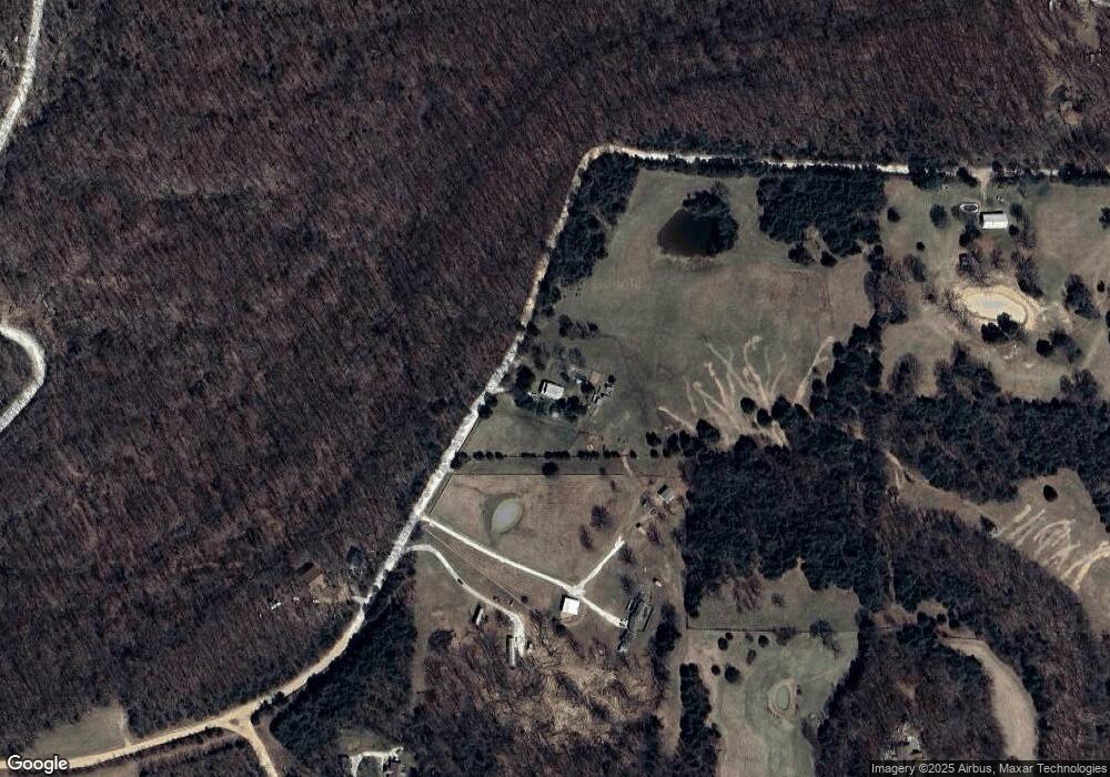
Map
Nearby Homes
- 14710 Summer Shade Rd
- 163 Acres Low Gap Rd
- 12812 Parker Branch Rd
- TBD Truelove Rd
- 14642 Truelove Rd
- 14416 Truelove Rd
- 14416 & 14425 Truelove Rd
- 14425 Truelove Rd
- 16075 Chocolate Flats
- 12107 Volcano Rd
- 12095 & 12107 Volcano Rd
- 0 Trace Branch Rd Unit 1293042
- 16712 S Highway 71
- 11724 Brubaker Rd
- 14163 Low Gap Rd
- 11546 & 11596 Brubaker Rd
- 13590 Sugar Mountain Rd
- 13829 French Rd
- 14186 Mineral Springs Rd
- 000 Sugar Mountain Rd
- 16372 Low Gap Rd
- 16365 Low Gap Rd
- 16193 Low Gap Rd
- 16189 Low Gap Rd
- 16436 Low Gap Rd
- 14780 Summer Shade Rd
- 16185 Low Gap Rd
- 360 Acres Parker Branch Rd
- 0 W Low Gap Rd (Wc100) Unit 1204722
- 14748 Summer Shade Rd
- 16095 Low Gap Wc 100 Rd
- 16440 Low Gap Rd
- TBD Parker Branch Rd
- 0 Summer Shade Rd
- 14128 Parker Branch Rd
- 14128 Parker Branch Rd
- 14512 Parker Branch Rd Wc 45 Rd
- 14941 Summer Shade Rd
- 15966 Low Gap Wc 100 Rd
- 16516 Low Gap Rd
Your Personal Tour Guide
Ask me questions while you tour the home.