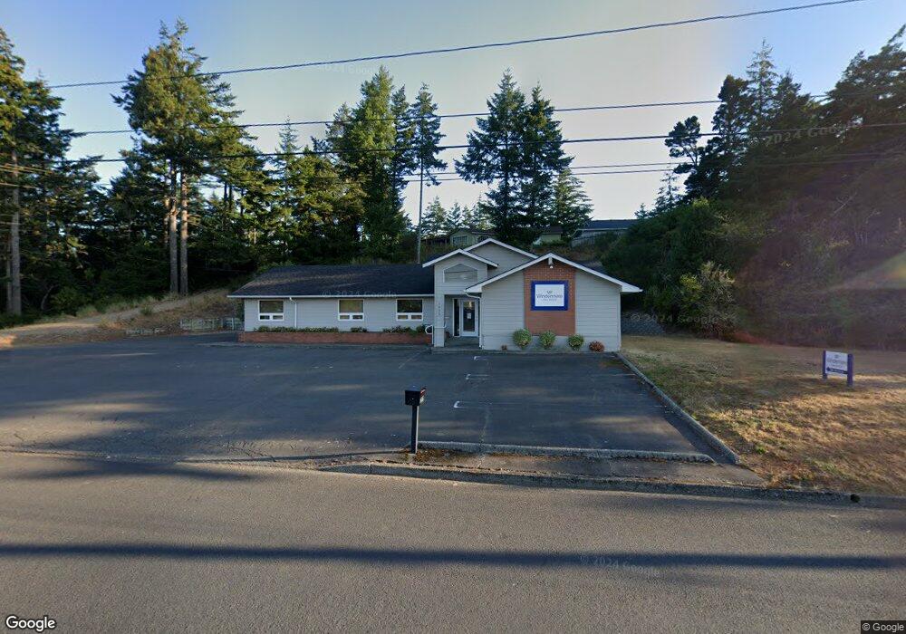
1625 12th St Florence, OR 97439
--
Bed
--
Bath
2,827
Sq Ft
10,019
Sq Ft Lot
About This Home
This home is located at 1625 12th St, Florence, OR 97439. 1625 12th St is a home located in Lane County with nearby schools including Siuslaw Elementary School, Siuslaw Middle School, and Siuslaw High School.
Ownership History
Date
Name
Owned For
Owner Type
Purchase Details
Closed on
Jan 18, 2017
Sold by
Bauer Kenneth M and Bauer Diane M
Bought by
Pearl Investments Llc
Home Financials for this Owner
Home Financials are based on the most recent Mortgage that was taken out on this home.
Original Mortgage
$295,000
Outstanding Balance
$43,911
Interest Rate
4.16%
Mortgage Type
Commercial
Purchase Details
Closed on
Jul 13, 2001
Sold by
Davis David R and Davis Christine G
Bought by
Bauer Kenneth M and Bauer Diane M
Home Financials for this Owner
Home Financials are based on the most recent Mortgage that was taken out on this home.
Original Mortgage
$50,000
Interest Rate
7.21%
Mortgage Type
Commercial
Purchase Details
Closed on
Jun 29, 2000
Sold by
Davis David R and Davis Christine G
Bought by
Mcculloch Rodney M and Mcculloch Beatrice G
Home Financials for this Owner
Home Financials are based on the most recent Mortgage that was taken out on this home.
Original Mortgage
$92,000
Interest Rate
8.63%
Mortgage Type
Commercial
Create a Home Valuation Report for This Property
The Home Valuation Report is an in-depth analysis detailing your home's value as well as a comparison with similar homes in the area
Home Values in the Area
Average Home Value in this Area
Purchase History
| Date | Buyer | Sale Price | Title Company |
|---|---|---|---|
| Pearl Investments Llc | $325,000 | Cascase Title Co | |
| Bauer Kenneth M | $380,000 | Western Pioneer Title Co | |
| Mcculloch Rodney M | $112,000 | Cascade Title Co |
Source: Public Records
Mortgage History
| Date | Status | Borrower | Loan Amount |
|---|---|---|---|
| Open | Pearl Investments Llc | $295,000 | |
| Previous Owner | Bauer Kenneth M | $50,000 | |
| Previous Owner | Mcculloch Rodney M | $92,000 |
Source: Public Records
Tax History Compared to Growth
Tax History
| Year | Tax Paid | Tax Assessment Tax Assessment Total Assessment is a certain percentage of the fair market value that is determined by local assessors to be the total taxable value of land and additions on the property. | Land | Improvement |
|---|---|---|---|---|
| 2025 | $3,609 | $264,508 | -- | -- |
| 2024 | $3,505 | $256,804 | -- | -- |
| 2023 | $3,505 | $249,325 | $0 | $0 |
| 2022 | $3,270 | $242,064 | $0 | $0 |
| 2021 | $3,203 | $235,014 | $0 | $0 |
| 2020 | $3,118 | $228,169 | $0 | $0 |
| 2019 | $3,002 | $221,524 | $0 | $0 |
| 2018 | $3,008 | $208,808 | $0 | $0 |
| 2017 | $2,901 | $208,808 | $0 | $0 |
| 2016 | $2,818 | $202,726 | $0 | $0 |
| 2015 | $2,758 | $196,821 | $0 | $0 |
| 2014 | $2,729 | $191,088 | $0 | $0 |
Source: Public Records
Map
Nearby Homes
- 1088 Nopal St
- 1640 17th St
- 200 11th St
- 1633 Maple St
- 1260 10th St Unit 23
- 1260 10th St Unit 11
- 2040 11th St
- 0 Unit 749399969
- 0 Tamarack St
- 2184 13th St
- 931 Kingwood St
- 2105 16th St
- 108 Park Village Loop
- 2155 9th St
- 2222 11th St
- 122 Park Village Loop
- 777 Kingwood St
- 1036 9th St
- 1150 Hemlock St Unit D14
- 2045 19th St