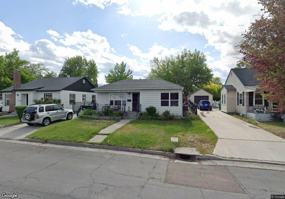
1625 Hoyt St Reno, NV 89509
Skyline Boulevard NeighborhoodEstimated Value: $456,000 - $638,000
2
Beds
1
Bath
976
Sq Ft
$531/Sq Ft
Est. Value
About This Home
This home is located at 1625 Hoyt St, Reno, NV 89509 and is currently estimated at $518,072, approximately $530 per square foot. 1625 Hoyt St is a home located in Washoe County with nearby schools including Jessie Beck Elementary School, Darrell C Swope Middle School, and Reno High School.
Ownership History
Date
Name
Owned For
Owner Type
Purchase Details
Closed on
Feb 6, 2016
Sold by
Rentsch Elvin W and Rentsch Cynthia L
Bought by
Br & Cr Properties Llc Series 3
Current Estimated Value
Purchase Details
Closed on
Aug 13, 2001
Sold by
Rentsch Elvin W and Rentsch Cynthia L
Bought by
Rentsch Elvin W and Rentsch Cynthia L
Home Financials for this Owner
Home Financials are based on the most recent Mortgage that was taken out on this home.
Original Mortgage
$96,250
Interest Rate
7.19%
Purchase Details
Closed on
Jun 19, 2001
Sold by
Scelzi Lane H
Bought by
Rentsch Elvin W and Rentsch Cynthia L
Home Financials for this Owner
Home Financials are based on the most recent Mortgage that was taken out on this home.
Original Mortgage
$96,250
Interest Rate
7.19%
Create a Home Valuation Report for This Property
The Home Valuation Report is an in-depth analysis detailing your home's value as well as a comparison with similar homes in the area
Home Values in the Area
Average Home Value in this Area
Purchase History
| Date | Buyer | Sale Price | Title Company |
|---|---|---|---|
| Br & Cr Properties Llc Series 3 | -- | None Available | |
| Rentsch Elvin W | -- | Stewart Title Northern Nevad | |
| Rentsch Elvin W | $137,500 | Stewart Title Northern Nevad |
Source: Public Records
Mortgage History
| Date | Status | Borrower | Loan Amount |
|---|---|---|---|
| Previous Owner | Rentsch Elvin W | $96,250 |
Source: Public Records
Tax History Compared to Growth
Tax History
| Year | Tax Paid | Tax Assessment Tax Assessment Total Assessment is a certain percentage of the fair market value that is determined by local assessors to be the total taxable value of land and additions on the property. | Land | Improvement |
|---|---|---|---|---|
| 2026 | -- | $66,553 | $51,188 | $15,366 |
| 2025 | $898 | $59,168 | $44,195 | $14,973 |
| 2024 | $898 | $57,911 | $43,155 | $14,756 |
| 2023 | $834 | $55,188 | $41,580 | $13,608 |
| 2022 | $772 | $45,520 | $34,493 | $11,027 |
| 2021 | $719 | $40,715 | $29,925 | $10,790 |
| 2020 | $673 | $40,523 | $29,925 | $10,598 |
| 2019 | $643 | $38,414 | $28,350 | $10,064 |
| 2018 | $610 | $31,681 | $22,050 | $9,631 |
| 2017 | $587 | $29,937 | $20,475 | $9,462 |
| 2016 | $576 | $27,407 | $17,955 | $9,452 |
| 2015 | $573 | $19,855 | $10,553 | $9,302 |
| 2014 | $554 | $15,268 | $6,489 | $8,779 |
| 2013 | -- | $14,326 | $5,702 | $8,624 |
Source: Public Records
Map
Nearby Homes
- 395 Chevy Chase St
- 1410 Patrick Ave
- 1165 Harvey Ln
- 995 Skyline Blvd
- 1633 Knox Ave
- 255 Circle Dr
- 2260 Sunrise Dr
- 1555 S Marsh Ave
- 1217 Lander St
- 1264 Humboldt St
- 343 Mount Rose St
- 343 & 347 Mount Rose St St
- 144 Greenridge Dr
- 1692 Oakhurst Ave
- 230 Glenmanor Dr
- 2700 Plumas St Unit 112
- 2700 Plumas St Unit 211
- 125 Greenridge Dr
- 222 W Arroyo St Unit 2
- 2750 Plumas St Unit 201