1625 Mill Fork Rd Marietta, OH 45750
Estimated Value: $184,000 - $288,216
1
Bed
1
Bath
762
Sq Ft
$309/Sq Ft
Est. Value
About This Home
This home is located at 1625 Mill Fork Rd, Marietta, OH 45750 and is currently estimated at $235,304, approximately $308 per square foot. 1625 Mill Fork Rd is a home located in Washington County.
Ownership History
Date
Name
Owned For
Owner Type
Purchase Details
Closed on
Apr 2, 2010
Sold by
Adkins Alan K and Midcap Gary A
Bought by
Butcher Walter R and Butcher Linda K
Current Estimated Value
Purchase Details
Closed on
May 28, 2009
Sold by
Boron Gary G and Boron Vivian
Bought by
Adkins Alan K and Midcap Gary A
Home Financials for this Owner
Home Financials are based on the most recent Mortgage that was taken out on this home.
Original Mortgage
$65,512
Interest Rate
4.83%
Mortgage Type
Future Advance Clause Open End Mortgage
Purchase Details
Closed on
Dec 23, 2003
Bought by
Boron Gary G
Purchase Details
Closed on
Oct 15, 1996
Bought by
Deutsch James B
Purchase Details
Closed on
Jun 12, 1995
Create a Home Valuation Report for This Property
The Home Valuation Report is an in-depth analysis detailing your home's value as well as a comparison with similar homes in the area
Home Values in the Area
Average Home Value in this Area
Purchase History
| Date | Buyer | Sale Price | Title Company |
|---|---|---|---|
| Butcher Walter R | $90,000 | Attorney | |
| Adkins Alan K | $65,000 | Attorney | |
| Boron Gary G | $21,000 | -- | |
| Deutsch James B | -- | -- | |
| -- | $22,500 | -- |
Source: Public Records
Mortgage History
| Date | Status | Borrower | Loan Amount |
|---|---|---|---|
| Previous Owner | Adkins Alan K | $65,512 |
Source: Public Records
Tax History Compared to Growth
Tax History
| Year | Tax Paid | Tax Assessment Tax Assessment Total Assessment is a certain percentage of the fair market value that is determined by local assessors to be the total taxable value of land and additions on the property. | Land | Improvement |
|---|---|---|---|---|
| 2024 | $2,145 | $72,470 | $26,670 | $45,800 |
| 2023 | $2,145 | $72,470 | $26,670 | $45,800 |
| 2022 | $2,134 | $72,470 | $26,670 | $45,800 |
| 2021 | $2,087 | $68,070 | $19,820 | $48,250 |
| 2020 | $2,210 | $68,070 | $19,820 | $48,250 |
| 2019 | $2,212 | $68,070 | $19,820 | $48,250 |
| 2018 | $2,040 | $61,190 | $16,520 | $44,670 |
| 2017 | $2,035 | $61,190 | $16,520 | $44,670 |
| 2016 | $2,967 | $61,190 | $16,520 | $44,670 |
| 2015 | $1,958 | $58,070 | $14,800 | $43,270 |
| 2014 | $1,063 | $21,860 | $14,800 | $7,060 |
| 2013 | $741 | $21,860 | $14,800 | $7,060 |
Source: Public Records
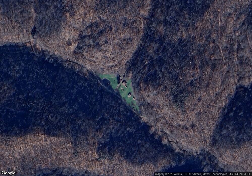
Map
Nearby Homes
- Lot 4 Moss Run Rd
- 2115 Goss Fork Rd
- 4 Moss Run Rd
- 0 Moss Run Rd
- 15999 Ohio 26
- 15999 State Route 26
- Lot 3 Brooks Rd
- Lot 1 Brooks Rd
- 0 Stanleyville Rd
- 0 Cow Run Rd Unit 224036842
- 0 Cow Run Rd Unit 5078069
- Tract 19 Zion Ridge Rd
- Tract 19 Zion Ridge Rd
- 1240 Shay Ridge Rd
- 200 Frakes Rd
- 50 & 60 Railroad St
- 1788 Rosenbush Rd
- 4940 State Route 26 Unit 589
- 9865 State Route 821
- 2800 Tick Ridge Rd
- 1660 Cameron Rd
- 1270 Mill Fork Rd
- 1650 Cameron Rd
- 0 Cameron Rd
- 0 Cameron Rd
- 1205 Cameron Rd
- 550 Orchard Ln
- 3145 Goss Fork Rd
- 1510 Moss Run Rd
- 715 Mill Fork Rd
- Lot 2 Moss Run Rd
- 0 Moss Run Rd
- 410 Mill Fork Rd
- 970 Cameron Rd
- 1176 Moss Run Rd
- 1395 Moss Run Rd
- 1178 Moss Run Rd
- 764 Cameron Rd
- 2480 Reed Rd
- 1150 Fifteen Mile Creek Rd