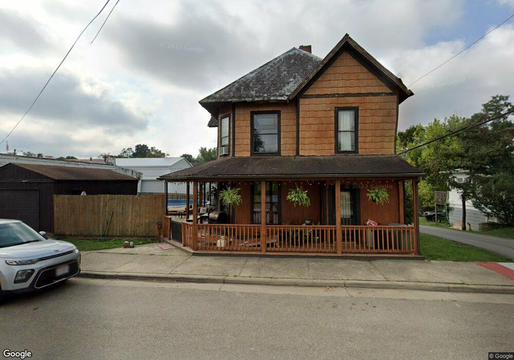
1625 Mill St Chesterhill, OH 43728
Estimated Value: $93,000 - $171,000
3
Beds
2
Baths
1,941
Sq Ft
$66/Sq Ft
Est. Value
About This Home
This home is located at 1625 Mill St, Chesterhill, OH 43728 and is currently estimated at $128,869, approximately $66 per square foot. 1625 Mill St is a home with nearby schools including Morgan High School.
Ownership History
Date
Name
Owned For
Owner Type
Purchase Details
Closed on
Oct 17, 2005
Sold by
Metcalf John and Metcalf Dorothy
Bought by
Kennedy Deanna M Ronald L Mayle
Current Estimated Value
Home Financials for this Owner
Home Financials are based on the most recent Mortgage that was taken out on this home.
Original Mortgage
$42,981
Outstanding Balance
$23,107
Interest Rate
5.83%
Estimated Equity
$105,762
Purchase Details
Closed on
Oct 6, 2005
Sold by
Metcalf John and Metcalf Dorothy
Bought by
Kennedy Deanna M and Mayle Ronald L
Home Financials for this Owner
Home Financials are based on the most recent Mortgage that was taken out on this home.
Original Mortgage
$42,981
Outstanding Balance
$23,107
Interest Rate
5.83%
Estimated Equity
$105,762
Purchase Details
Closed on
Nov 1, 1985
Create a Home Valuation Report for This Property
The Home Valuation Report is an in-depth analysis detailing your home's value as well as a comparison with similar homes in the area
Home Values in the Area
Average Home Value in this Area
Purchase History
| Date | Buyer | Sale Price | Title Company |
|---|---|---|---|
| Kennedy Deanna M Ronald L Mayle | $50,000 | -- | |
| Kennedy Deanna M | -- | Daniel A Fouss | |
| -- | $18,000 | -- |
Source: Public Records
Mortgage History
| Date | Status | Borrower | Loan Amount |
|---|---|---|---|
| Open | Kennedy Deanna M Ronald L Mayle | $42,981 | |
| Closed | Kennedy Deanna M | $42,981 |
Source: Public Records
Tax History Compared to Growth
Tax History
| Year | Tax Paid | Tax Assessment Tax Assessment Total Assessment is a certain percentage of the fair market value that is determined by local assessors to be the total taxable value of land and additions on the property. | Land | Improvement |
|---|---|---|---|---|
| 2024 | $1,057 | $29,430 | $2,150 | $27,280 |
| 2023 | $1,057 | $21,290 | $1,820 | $19,470 |
| 2022 | $766 | $21,290 | $1,820 | $19,470 |
| 2021 | $729 | $21,280 | $1,820 | $19,460 |
| 2019 | $694 | $18,450 | $1,580 | $16,870 |
| 2018 | $670 | $18,450 | $1,580 | $16,870 |
| 2017 | $688 | $18,327 | $1,537 | $16,790 |
| 2016 | $691 | $18,327 | $1,537 | $16,790 |
| 2015 | $690 | $18,327 | $1,537 | $16,790 |
| 2014 | $710 | $18,327 | $1,537 | $16,790 |
| 2013 | $662 | $18,327 | $1,537 | $16,790 |
Source: Public Records
Map
Nearby Homes
- 0 Ohio 555 Unit 5146049
- 7600 Marion St
- 3205 Goshen Run Rd
- 5174 Lightner Ridge Rd
- 681 Downing Rd
- 781 Downing Rd
- 0 Downing Rd
- 15901 Lathrop Rd
- 0 Meadow St Unit Lot 9 5158299
- 0 Meadow St Unit Lot 9 225008020
- 4000 C206
- 1715 South St
- 3265 Tieber Rd
- 1770 Broadway St
- 7.38 acres County Road 13
- 1960 Broadway St
- 1920 North St
- 3111 Big Bottom Ln
- 1673 S State Route 377
- 2187 State Route 550