1625 S Hiland Dr Frankfort, IN 46041
Estimated Value: $386,000 - $440,000
4
Beds
3
Baths
2,352
Sq Ft
$178/Sq Ft
Est. Value
About This Home
This home is located at 1625 S Hiland Dr, Frankfort, IN 46041 and is currently estimated at $419,204, approximately $178 per square foot. 1625 S Hiland Dr is a home located in Clinton County with nearby schools including Frankfort Senior High School.
Ownership History
Date
Name
Owned For
Owner Type
Purchase Details
Closed on
May 29, 2007
Sold by
Colby Brett S and Colby Joni C
Bought by
Byrd Billy Ray and Byrd Maria Isabel
Current Estimated Value
Home Financials for this Owner
Home Financials are based on the most recent Mortgage that was taken out on this home.
Original Mortgage
$243,600
Outstanding Balance
$147,692
Interest Rate
6.2%
Mortgage Type
New Conventional
Estimated Equity
$271,512
Purchase Details
Closed on
May 16, 1997
Sold by
Byrd Tony A and Byrd Grace Ann
Bought by
Colby Brett S
Create a Home Valuation Report for This Property
The Home Valuation Report is an in-depth analysis detailing your home's value as well as a comparison with similar homes in the area
Home Values in the Area
Average Home Value in this Area
Purchase History
| Date | Buyer | Sale Price | Title Company |
|---|---|---|---|
| Byrd Billy Ray | -- | None Available | |
| Colby Brett S | $27,500 | -- |
Source: Public Records
Mortgage History
| Date | Status | Borrower | Loan Amount |
|---|---|---|---|
| Open | Byrd Billy Ray | $243,600 |
Source: Public Records
Tax History Compared to Growth
Tax History
| Year | Tax Paid | Tax Assessment Tax Assessment Total Assessment is a certain percentage of the fair market value that is determined by local assessors to be the total taxable value of land and additions on the property. | Land | Improvement |
|---|---|---|---|---|
| 2024 | $3,326 | $306,900 | $32,400 | $274,500 |
| 2023 | $3,290 | $307,100 | $32,400 | $274,700 |
| 2022 | $3,112 | $318,700 | $32,400 | $286,300 |
| 2021 | $2,946 | $293,700 | $32,400 | $261,300 |
| 2020 | $2,032 | $224,400 | $32,400 | $192,000 |
| 2019 | $1,909 | $224,400 | $32,400 | $192,000 |
| 2018 | $2,047 | $227,500 | $32,400 | $195,100 |
| 2017 | $2,123 | $233,800 | $37,600 | $196,200 |
| 2016 | $1,933 | $228,800 | $37,600 | $191,200 |
| 2014 | $1,472 | $228,400 | $41,800 | $186,600 |
Source: Public Records
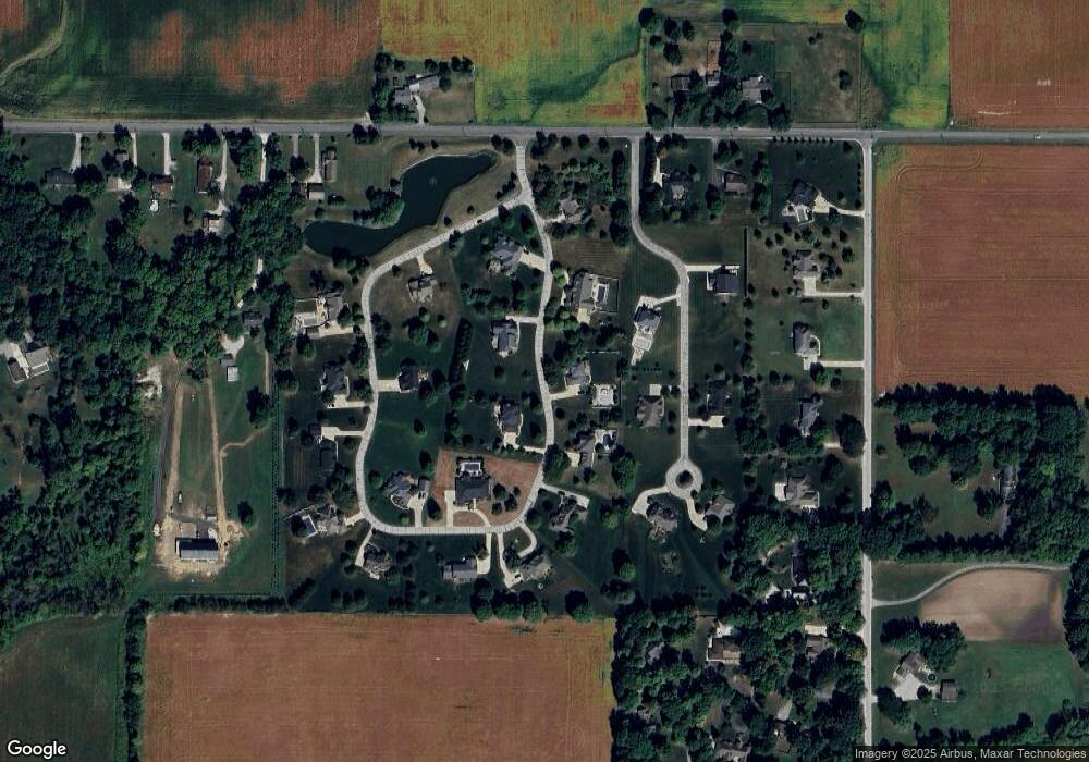
Map
Nearby Homes
- 1816 Southridge Dr
- 759 Sunrise Dr Unit 111
- 837 Sunrise Dr Unit 119
- 832 Sunrise Dr Unit 118
- 829 Sunrise Dr Unit 117
- 806 Sunrise Dr Unit 112
- 813 Sunrise Dr Unit 113
- 826 Sunrise Dr Unit 116
- 845 Sunrise Dr Unit 121
- 821 Sunrise Dr Unit 115
- 851 Sunrise Dr Unit 123
- 848 Sunrise Dr Unit 122
- 842 Sunrise Dr Unit 120
- 818 Sunrise Dr Unit 114
- 1828 Southridge Dr
- 574 S Meadow Lane East Dr
- 2259 Wilshire Dr
- 1309 Lea Ct
- 840 S Hoke Ave
- 837 S Hoke Ave
- 1628 S Oxford Ct
- 1581 S Hiland Dr
- 1661 S Hiland Dr
- 1600 S Hiland Dr
- 1579 S Oxford Ct
- 1654 S Hiland Dr
- 1583 Oxford Ct Unit 1
- 1621 S Oxford Ct
- 1562 S Hiland Dr
- 1695 S Hiland Dr
- 1533 S Hiland Dr
- 1686 S Hiland Dr
- 1644 S Oxford Ct
- 1635 S Mayberry Dr
- 1645 S Oxford Ct
- 2625 E Kelley Rd
- 1683 S Mayberry Dr
- 1588 S Co Road 180 E
- 1618 S County Road 180 E
- 1588 S County Road 180 E