1626 Bald Mountain Rd Orland, ME 04472
Estimated Value: $539,000 - $651,079
3
Beds
2
Baths
2,422
Sq Ft
$245/Sq Ft
Est. Value
About This Home
This home is located at 1626 Bald Mountain Rd, Orland, ME 04472 and is currently estimated at $593,026, approximately $244 per square foot. 1626 Bald Mountain Rd is a home with nearby schools including G. Herbert Jewett School, Miles Lane School, and Bucksport Middle School.
Ownership History
Date
Name
Owned For
Owner Type
Purchase Details
Closed on
Jul 17, 2025
Sold by
Hanson Linwood A
Bought by
Hanson Linwood A and Hanson Candace A
Current Estimated Value
Purchase Details
Closed on
Aug 2, 2013
Sold by
Hanson Linwood A and Hanson Candace A
Bought by
Hanson Graham L
Purchase Details
Closed on
Jul 15, 2013
Sold by
Fortier Robert C
Bought by
Hanson Linwood A
Create a Home Valuation Report for This Property
The Home Valuation Report is an in-depth analysis detailing your home's value as well as a comparison with similar homes in the area
Home Values in the Area
Average Home Value in this Area
Purchase History
| Date | Buyer | Sale Price | Title Company |
|---|---|---|---|
| Hanson Linwood A | -- | -- | |
| Hanson Linwood A | -- | -- | |
| Hanson Linwood A | -- | -- | |
| Hanson Graham L | -- | -- | |
| Hanson Graham L | -- | -- | |
| Hanson Linwood A | -- | -- | |
| Hanson Linwood A | -- | -- |
Source: Public Records
Tax History Compared to Growth
Tax History
| Year | Tax Paid | Tax Assessment Tax Assessment Total Assessment is a certain percentage of the fair market value that is determined by local assessors to be the total taxable value of land and additions on the property. | Land | Improvement |
|---|---|---|---|---|
| 2024 | $6,261 | $514,050 | $148,340 | $365,710 |
| 2023 | $6,056 | $514,050 | $148,340 | $365,710 |
| 2022 | $5,070 | $518,360 | $148,340 | $370,020 |
| 2021 | $5,679 | $371,200 | $174,740 | $196,460 |
| 2020 | $5,679 | $371,200 | $174,740 | $196,460 |
| 2019 | $5,754 | $371,200 | $174,740 | $196,460 |
| 2018 | $5,453 | $371,200 | $174,740 | $196,460 |
| 2017 | $2,558 | $371,200 | $174,740 | $196,460 |
| 2016 | $5,085 | $371,200 | $174,740 | $196,460 |
| 2015 | $5,085 | $371,200 | $174,740 | $196,460 |
| 2014 | $3,617 | $254,750 | $58,290 | $196,460 |
| 2013 | $3,617 | $254,750 | $58,290 | $196,460 |
Source: Public Records
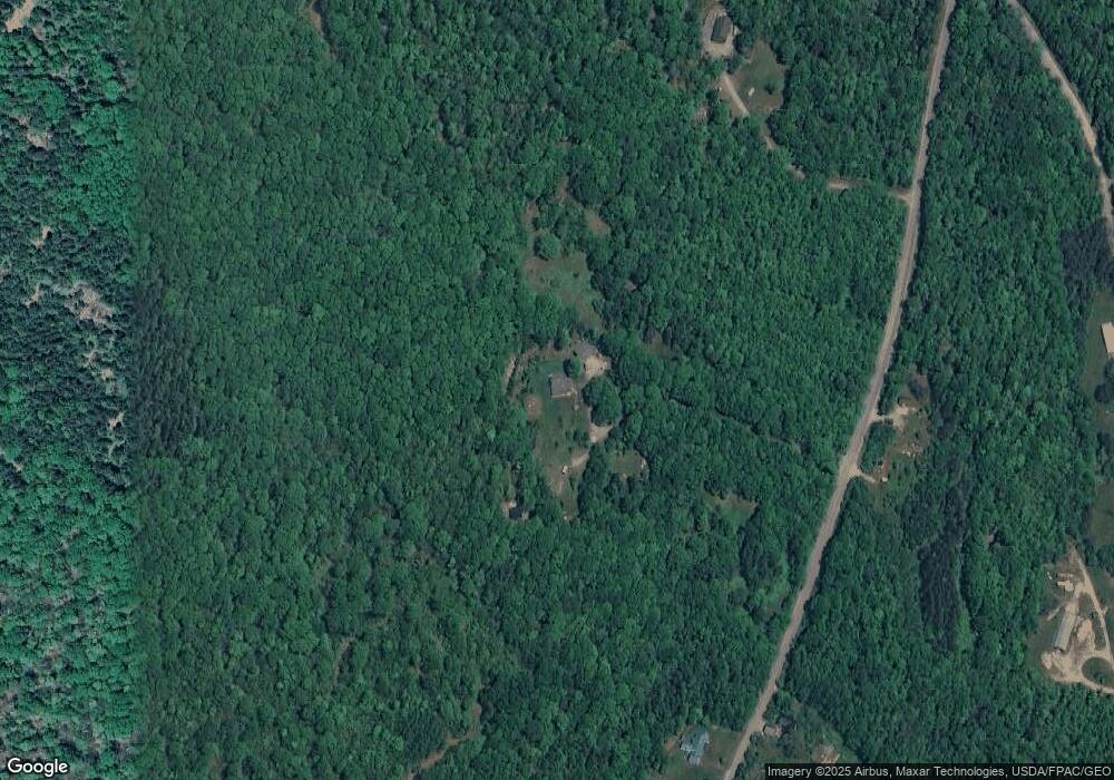
Map
Nearby Homes
- 1181 Happytown Rd
- MAP15LOT56 Upper Long Pond Rd
- 1548 State Route 46
- 0 Bald Mountain Rd Unit 1635891
- 51 Brookview Dr
- 00 Moosehorn Dr
- Lot 005 Maine 46
- 11 High Hill Ct
- Lots 2&3 Maple Ridge Rd
- 194 Branchview Dr
- 1365 Bucksmills Rd
- 0 map 7/1 Ebens Trail
- 0 map 7/2 Ebens Trail
- 248 Branchview Dr
- 672 Lower Dedham Rd
- 1420 Bucksmills Rd
- 1026 Bucks Mills Rd
- Lot 37 Wedge Heights
- Lot 5 Peakes Hill Rd
- 130 Hartview Cir
- 1599 Bald Mountain Rd
- 1540 Happytown Rd
- 1556 Bald Mountain Rd
- 1681 Bald Mountain Rd
- 1681 Bald Mountain Rd
- 1681 Bald Mountain Rd
- 1571 Happytown Rd
- 1538 Bald Mountain Rd
- 0 Winkumpaugh Crossing Subdivisi
- 5 Winkumpaugh Rd
- 5 Winkumpaugh Rd
- Lot 1 Winkumpaugh Crossing
- 31 Winkumpaugh Rd
- 84 Dodge Hill Rd
- 39 Winkumpaugh Rd
- 15 Mountain Top Way
- 51 Dodge Hill Rd
- 67 Winkumpaugh Rd
- 79 Winkumpaugh Rd
- 0 Off Happytown Rd Unit 1320492