1626 G Path Cotopaxi, CO 81223
Estimated Value: $381,889 - $469,000
3
Beds
2
Baths
1,948
Sq Ft
$217/Sq Ft
Est. Value
About This Home
This home is located at 1626 G Path, Cotopaxi, CO 81223 and is currently estimated at $422,722, approximately $217 per square foot. 1626 G Path is a home located in Fremont County with nearby schools including Cotopaxi Elementary School and Cotopaxi Junior/Senior High School.
Ownership History
Date
Name
Owned For
Owner Type
Purchase Details
Closed on
Jun 20, 2022
Sold by
Ryan Michael J
Bought by
Mercogliano Michelle and Krug Thomas A
Current Estimated Value
Purchase Details
Closed on
Aug 25, 2011
Sold by
Vanderbilt Mortgage & Finance Inc
Bought by
Ryan Michael J and Ryan Judith A
Home Financials for this Owner
Home Financials are based on the most recent Mortgage that was taken out on this home.
Original Mortgage
$80,000
Interest Rate
4.13%
Mortgage Type
New Conventional
Purchase Details
Closed on
Aug 31, 2010
Sold by
Richardson Kendra and Engelhardt Joseph A
Bought by
Vanderbilt Mortgage & Finance Inc
Create a Home Valuation Report for This Property
The Home Valuation Report is an in-depth analysis detailing your home's value as well as a comparison with similar homes in the area
Purchase History
| Date | Buyer | Sale Price | Title Company |
|---|---|---|---|
| Mercogliano Michelle | $389,900 | New Title Company Name | |
| Ryan Michael J | $100,000 | Stewart Title | |
| Vanderbilt Mortgage & Finance Inc | -- | None Available |
Source: Public Records
Mortgage History
| Date | Status | Borrower | Loan Amount |
|---|---|---|---|
| Previous Owner | Ryan Michael J | $80,000 | |
| Closed | Mercogliano Michelle | $0 |
Source: Public Records
Tax History
| Year | Tax Paid | Tax Assessment Tax Assessment Total Assessment is a certain percentage of the fair market value that is determined by local assessors to be the total taxable value of land and additions on the property. | Land | Improvement |
|---|---|---|---|---|
| 2024 | $1,208 | $25,026 | $0 | $0 |
| 2023 | $1,028 | $20,923 | $0 | $0 |
| 2022 | $641 | $13,658 | $0 | $0 |
| 2021 | $645 | $14,051 | $0 | $0 |
| 2020 | $509 | $11,290 | $0 | $0 |
| 2019 | $508 | $11,290 | $0 | $0 |
| 2018 | $463 | $10,274 | $0 | $0 |
| 2017 | $463 | $10,274 | $0 | $0 |
| 2016 | $439 | $9,730 | $0 | $0 |
| 2015 | $438 | $9,730 | $0 | $0 |
| 2012 | $33 | $9,850 | $796 | $9,054 |
Source: Public Records
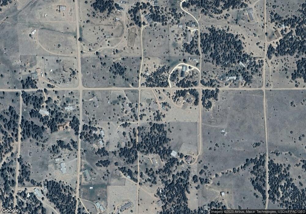
Map
Nearby Homes
- 763 17th Trail
- 763 15th Trail
- 1012 17th Trail
- TBD G Path
- 0 G Path
- TR-1 G Path
- 44th Trail G Path
- 639 15th Trail
- 1839 15th Trail
- 863 15th Trail
- 395 Gibbons Trailway
- 474 Deer Run Dr
- 547 Blazing Saddle Trail
- 739 17th Trail
- 000 K Path
- 0 Tbd Vacant Land Unit 2517535
- xx 22nd Trail
- 2125 J Path
- TBD 25th Trail
- TBD 24th Trail
Your Personal Tour Guide
Ask me questions while you tour the home.