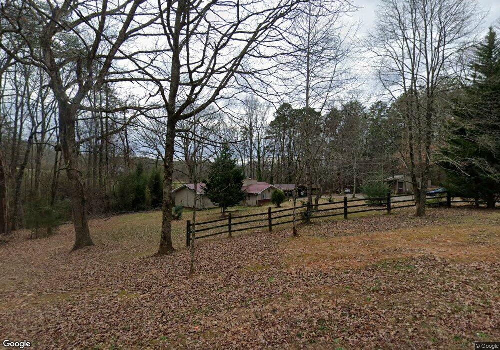
1626 Joe Black Rd Sautee Nacoochee, GA 30571
Estimated Value: $290,134 - $335,000
3
Beds
2
Baths
1,518
Sq Ft
$205/Sq Ft
Est. Value
About This Home
This home is located at 1626 Joe Black Rd, Sautee Nacoochee, GA 30571 and is currently estimated at $311,284, approximately $205 per square foot. 1626 Joe Black Rd is a home located in White County with nearby schools including Mount Yonah Elementary School, White County 9th Grade Academy, and White County Middle School.
Ownership History
Date
Name
Owned For
Owner Type
Purchase Details
Closed on
Aug 25, 2020
Sold by
Pomeroy Bruce William
Bought by
Crowe Cynthia Lorraine Pomero
Current Estimated Value
Purchase Details
Closed on
Nov 17, 2014
Sold by
Pomeroy Bruce William
Bought by
Pomeroy Bruce W and Pomeroy Cynthia
Home Financials for this Owner
Home Financials are based on the most recent Mortgage that was taken out on this home.
Original Mortgage
$65,000
Interest Rate
4%
Mortgage Type
New Conventional
Create a Home Valuation Report for This Property
The Home Valuation Report is an in-depth analysis detailing your home's value as well as a comparison with similar homes in the area
Home Values in the Area
Average Home Value in this Area
Purchase History
| Date | Buyer | Sale Price | Title Company |
|---|---|---|---|
| Crowe Cynthia Lorraine Pomero | -- | -- | |
| Pomeroy Bruce W | -- | -- |
Source: Public Records
Mortgage History
| Date | Status | Borrower | Loan Amount |
|---|---|---|---|
| Previous Owner | Pomeroy Bruce W | $65,000 |
Source: Public Records
Tax History Compared to Growth
Tax History
| Year | Tax Paid | Tax Assessment Tax Assessment Total Assessment is a certain percentage of the fair market value that is determined by local assessors to be the total taxable value of land and additions on the property. | Land | Improvement |
|---|---|---|---|---|
| 2025 | $1,099 | $71,368 | $13,924 | $57,444 |
| 2024 | $1,099 | $67,888 | $10,444 | $57,444 |
| 2023 | $675 | $59,784 | $9,284 | $50,500 |
| 2022 | $1,037 | $52,584 | $8,704 | $43,880 |
| 2021 | $1,025 | $43,772 | $7,264 | $36,508 |
| 2020 | $1,011 | $39,924 | $6,776 | $33,148 |
| 2019 | $1,014 | $39,924 | $6,776 | $33,148 |
| 2018 | $1,014 | $39,924 | $6,776 | $33,148 |
| 2017 | $971 | $37,888 | $6,776 | $31,112 |
| 2016 | $971 | $37,888 | $6,776 | $31,112 |
| 2015 | -- | $76,970 | $6,292 | $24,496 |
| 2014 | $718 | $72,090 | $0 | $0 |
Source: Public Records
Map
Nearby Homes
- 1698 Joe Black Rd
- 4092 Helen Hwy
- 0 Sassafrass Ridge Dr Unit 10516590
- 42 Nomad Trail
- 68 Nomad Trail
- 603 Yonah Mountain Rd
- 16 Dutchman Way
- 105 Holiday Loop
- 406 Yonah Mountain Rd
- 142 Smokerise Dr
- 0 Yonah Mountain Rd Unit 10631834
- 0 Yonah Mountain Rd Unit 7661561
- 0 Thurmond Rd Unit 10620543
- 0 Thurmond Rd Unit 7662120
- 387 Smokerise Dr
- 339 Cameron Rd
- 0 Bald Eagle Path Unit 10596802
- 0 Bald Eagle Path Unit 418520
- 160 Elkmont Trail
- 27 Six Point Trail
- 1664 Joe Black Rd
- 151 Meadowlark Way
- 81 Meadowlark Way
- 1657 Joe Black Rd
- 175 Meadowlark Way
- 1605 Joe Black Rd
- 1523 Joe Black Rd
- 106 Philly Dr
- 154 Philly Dr
- 1774 Joe Black Rd
- 162 Philly Dr Unit 17
- 0 Meadow Lark Way Unit 7234606
- 158 Philly Dr
- 73 Terrys Place Unit 22
- 73 Terrys Place
- 158 Towering Oaks Dr
- 47 Terrys Place
- 0 Philly Dr Unit 17 7227144
- 0 Philly Dr Unit 22 7229489
- 0 Philly Dr Unit 20 7229510