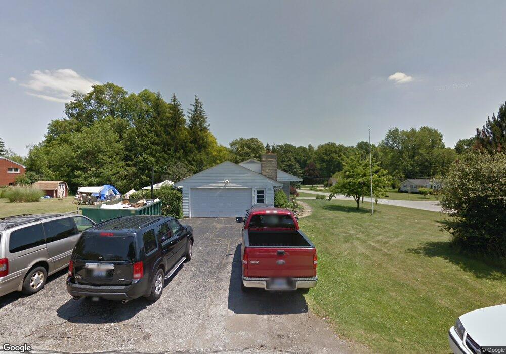
1626 Kenmore Dr Mansfield, OH 44906
Estimated Value: $185,000 - $235,000
3
Beds
1
Bath
1,257
Sq Ft
$165/Sq Ft
Est. Value
About This Home
This home is located at 1626 Kenmore Dr, Mansfield, OH 44906 and is currently estimated at $207,144, approximately $164 per square foot. 1626 Kenmore Dr is a home located in Richland County with nearby schools including Stingel Elementary School, Ontario Middle School, and Ontario High School.
Ownership History
Date
Name
Owned For
Owner Type
Purchase Details
Closed on
Jul 20, 2007
Sold by
Whitt Shirley R
Bought by
Cook Andrea and Cook Steve J
Current Estimated Value
Home Financials for this Owner
Home Financials are based on the most recent Mortgage that was taken out on this home.
Original Mortgage
$102,007
Outstanding Balance
$63,891
Interest Rate
6.54%
Mortgage Type
FHA
Estimated Equity
$143,253
Purchase Details
Closed on
May 2, 2001
Sold by
Keeper Merlin W
Bought by
Whitt Shirley R
Home Financials for this Owner
Home Financials are based on the most recent Mortgage that was taken out on this home.
Original Mortgage
$30,000
Interest Rate
6.95%
Mortgage Type
New Conventional
Create a Home Valuation Report for This Property
The Home Valuation Report is an in-depth analysis detailing your home's value as well as a comparison with similar homes in the area
Home Values in the Area
Average Home Value in this Area
Purchase History
| Date | Buyer | Sale Price | Title Company |
|---|---|---|---|
| Cook Andrea | $115,000 | Chicago Title | |
| Whitt Shirley R | $30,000 | -- |
Source: Public Records
Mortgage History
| Date | Status | Borrower | Loan Amount |
|---|---|---|---|
| Open | Cook Andrea | $102,007 | |
| Closed | Whitt Shirley R | $30,000 |
Source: Public Records
Tax History Compared to Growth
Tax History
| Year | Tax Paid | Tax Assessment Tax Assessment Total Assessment is a certain percentage of the fair market value that is determined by local assessors to be the total taxable value of land and additions on the property. | Land | Improvement |
|---|---|---|---|---|
| 2024 | $2,541 | $41,490 | $8,480 | $33,010 |
| 2023 | $2,541 | $41,490 | $8,480 | $33,010 |
| 2022 | $2,442 | $36,180 | $8,830 | $27,350 |
| 2021 | $2,573 | $36,180 | $8,830 | $27,350 |
| 2020 | $2,762 | $36,180 | $8,830 | $27,350 |
| 2019 | $2,962 | $30,660 | $7,490 | $23,170 |
| 2018 | $2,526 | $30,660 | $7,490 | $23,170 |
| 2017 | $2,494 | $30,660 | $7,490 | $23,170 |
| 2016 | $2,479 | $30,780 | $7,260 | $23,520 |
| 2015 | $2,136 | $30,780 | $7,260 | $23,520 |
| 2014 | $2,469 | $30,780 | $7,260 | $23,520 |
| 2012 | $976 | $31,730 | $7,490 | $24,240 |
Source: Public Records
Map
Nearby Homes
- 175 Maple Ln
- 99 Scotland Blvd
- 405 Maple Ln Unit 405 & 407
- 1431 Silver Ln
- 1996 Park Ave W
- 129 Ludwig Dr
- 2585 Deerfield Ln
- 147 Wimbledon Dr
- 1157 Deer Run Rd
- 0 Deer Run Rd
- 142 Grasmere Ave
- 0 Millsboro Rd Unit 9067349
- 0 Millsboro Rd Unit 9066844
- 1068 Linwood Place
- 143 Buckeye Ave
- 0 Old Mill Run Rd Unit 9067543
- 0 Old Mill Run Rd Unit 9067542
- 2000 Matthes Dr
- 216 S Trimble Rd Unit 218
- 244 S Trimble Rd Unit 246