1626 Mayfield Cir Jamison, PA 18929
Estimated Value: $474,196 - $527,000
3
Beds
3
Baths
2,000
Sq Ft
$249/Sq Ft
Est. Value
About This Home
This home is located at 1626 Mayfield Cir, Jamison, PA 18929 and is currently estimated at $497,049, approximately $248 per square foot. 1626 Mayfield Cir is a home located in Bucks County with nearby schools including Jamison Elementary School, Tamanend Middle School, and Central Bucks High School - South.
Ownership History
Date
Name
Owned For
Owner Type
Purchase Details
Closed on
Mar 28, 2008
Sold by
Mitnick Andrew K and Mitnick Melissa
Bought by
Conte Rosalie A
Current Estimated Value
Home Financials for this Owner
Home Financials are based on the most recent Mortgage that was taken out on this home.
Original Mortgage
$100,000
Interest Rate
6.06%
Mortgage Type
Purchase Money Mortgage
Purchase Details
Closed on
Apr 5, 1999
Sold by
Gutsin Jill
Bought by
Mitnick Andrew K and Mitnick Melissa
Home Financials for this Owner
Home Financials are based on the most recent Mortgage that was taken out on this home.
Original Mortgage
$132,700
Interest Rate
7.04%
Purchase Details
Closed on
Nov 7, 1995
Sold by
The Bedford Group Inc
Bought by
Gutsin Jill
Home Financials for this Owner
Home Financials are based on the most recent Mortgage that was taken out on this home.
Original Mortgage
$133,650
Interest Rate
7.53%
Create a Home Valuation Report for This Property
The Home Valuation Report is an in-depth analysis detailing your home's value as well as a comparison with similar homes in the area
Home Values in the Area
Average Home Value in this Area
Purchase History
| Date | Buyer | Sale Price | Title Company |
|---|---|---|---|
| Conte Rosalie A | $325,500 | None Available | |
| Mitnick Andrew K | $165,900 | Lawyers Title Insurance Corp | |
| Gutsin Jill | $148,515 | -- |
Source: Public Records
Mortgage History
| Date | Status | Borrower | Loan Amount |
|---|---|---|---|
| Closed | Conte Rosalie A | $100,000 | |
| Previous Owner | Mitnick Andrew K | $132,700 | |
| Previous Owner | Gutsin Jill | $133,650 |
Source: Public Records
Tax History Compared to Growth
Tax History
| Year | Tax Paid | Tax Assessment Tax Assessment Total Assessment is a certain percentage of the fair market value that is determined by local assessors to be the total taxable value of land and additions on the property. | Land | Improvement |
|---|---|---|---|---|
| 2025 | $4,895 | $28,120 | $3,320 | $24,800 |
| 2024 | $4,895 | $28,120 | $3,320 | $24,800 |
| 2023 | $4,739 | $28,120 | $3,320 | $24,800 |
| 2022 | $4,686 | $28,120 | $3,320 | $24,800 |
| 2021 | $4,634 | $28,120 | $3,320 | $24,800 |
| 2020 | $4,634 | $28,120 | $3,320 | $24,800 |
| 2019 | $4,606 | $28,120 | $3,320 | $24,800 |
| 2018 | $4,606 | $28,120 | $3,320 | $24,800 |
| 2017 | $4,571 | $28,120 | $3,320 | $24,800 |
| 2016 | $4,571 | $28,120 | $3,320 | $24,800 |
| 2015 | -- | $28,120 | $3,320 | $24,800 |
| 2014 | -- | $28,120 | $3,320 | $24,800 |
Source: Public Records
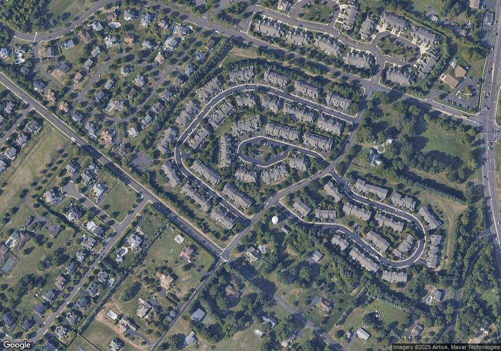
Map
Nearby Homes
- 1618 Mayfield Cir
- 1504 Springfield Ct Unit 37
- 1990 York Rd
- 1851 Meetinghouse Rd
- Westmont Plan at Jamison Place
- Northbrook Plan at Jamison Place
- Faraday Plan at Jamison Place
- Homesite 11902 Quartermaster Ln
- Homesite 11901 Quartermaster Ln
- 5005 Quartermaster Ln
- Homesite 11903 Quartermaster Ln
- 5011 Quartermaster Ln
- 3020 Marquis Ln
- Homesite 11001 Marquis Ln
- Homesite 10903 Marquis Ln
- 3014 Marquis Ln
- Homesite 11003 Marquis Ln
- Homesite 11803 Quartermaster Ln
- Kingswood Plan at Breton Hill
- Mayweather Plan at Breton Hill
- 1628 Mayfield Cir
- 1630 Mayfield Cir
- 1632 Mayfield Cir
- 1622 Mayfield Cir
- 1634 Mayfield Cir
- 1620 Mayfield Cir
- 1609 Rockcress Dr
- 1607 Rockcress Dr
- 1605 Rockcress Dr
- 1611 Rockcress Dr
- 1603 Rockcress Dr
- 1615 Rockcress Dr
- 1613 Rockcress Dr
- 1601 Rockcress Dr
- 1636 Mayfield Cir
- 1616 Mayfield Cir
- 1614 Mayfield Cir
- 1617 Rockcress Dr
- 1638 Mayfield Cir
- 1640 Mayfield Cir