1626 NW Wild Rye Cir Bend, OR 97701
Awbrey Butte NeighborhoodEstimated Value: $2,346,292 - $3,202,000
2
Beds
3
Baths
2,900
Sq Ft
$912/Sq Ft
Est. Value
About This Home
This home is located at 1626 NW Wild Rye Cir, Bend, OR 97701 and is currently estimated at $2,644,764, approximately $911 per square foot. 1626 NW Wild Rye Cir is a home located in Deschutes County with nearby schools including North Star Elementary School, Pacific Crest Middle School, and Summit High School.
Ownership History
Date
Name
Owned For
Owner Type
Purchase Details
Closed on
Oct 8, 2012
Sold by
Sommer Brian N and Sommer Gay M
Bought by
Sommer Brian N and Sommer Gay M
Current Estimated Value
Purchase Details
Closed on
Oct 21, 2009
Sold by
Brooks Resources Corporation
Bought by
Sommer Brian N and Sommer Gay M
Purchase Details
Closed on
Jun 24, 2008
Sold by
Investors Inc
Bought by
Brooks Resources Corp
Purchase Details
Closed on
Sep 14, 2006
Sold by
Brooks Resources Corp
Bought by
Investors Inc
Home Financials for this Owner
Home Financials are based on the most recent Mortgage that was taken out on this home.
Original Mortgage
$424,000
Interest Rate
6.56%
Mortgage Type
Seller Take Back
Create a Home Valuation Report for This Property
The Home Valuation Report is an in-depth analysis detailing your home's value as well as a comparison with similar homes in the area
Home Values in the Area
Average Home Value in this Area
Purchase History
| Date | Buyer | Sale Price | Title Company |
|---|---|---|---|
| Sommer Brian N | -- | None Available | |
| Sommer Brian N | $255,000 | Amerititle | |
| Brooks Resources Corp | -- | None Available | |
| Investors Inc | $530,000 | Amerititle |
Source: Public Records
Mortgage History
| Date | Status | Borrower | Loan Amount |
|---|---|---|---|
| Previous Owner | Investors Inc | $424,000 |
Source: Public Records
Tax History Compared to Growth
Tax History
| Year | Tax Paid | Tax Assessment Tax Assessment Total Assessment is a certain percentage of the fair market value that is determined by local assessors to be the total taxable value of land and additions on the property. | Land | Improvement |
|---|---|---|---|---|
| 2025 | $17,165 | $1,015,880 | -- | -- |
| 2024 | $16,514 | $986,300 | -- | -- |
| 2023 | $15,309 | $957,580 | $0 | $0 |
| 2022 | $13,694 | $858,400 | $0 | $0 |
| 2021 | $13,604 | $833,400 | $0 | $0 |
| 2020 | $12,906 | $833,400 | $0 | $0 |
| 2019 | $12,546 | $809,130 | $0 | $0 |
| 2018 | $12,192 | $785,570 | $0 | $0 |
| 2017 | $11,834 | $762,690 | $0 | $0 |
| 2016 | $11,286 | $740,480 | $0 | $0 |
| 2015 | $11,093 | $726,770 | $0 | $0 |
| 2014 | $5,581 | $376,170 | $0 | $0 |
Source: Public Records
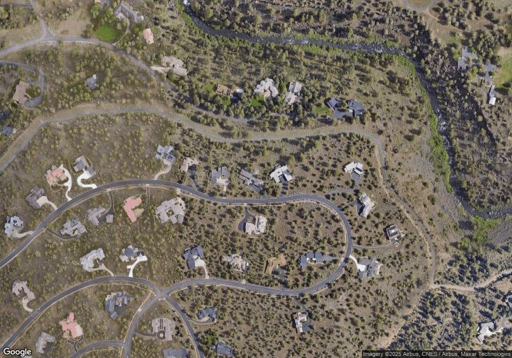
Map
Nearby Homes
- 3487 NW Greenleaf Way
- 1470 NW Puccoon Ct
- 1843 NW Wild Rye Cir
- 1122 NW Foxwood
- 3399 NW Starview Dr
- 3615 NW Falcon Ridge
- 3347 NW Starview Dr
- 3333 NW Panorama Dr
- 3341 NW Panorama Dr
- 1359 NW Remarkable Dr
- 900 NW Chelsea Loop
- 3282 NW Starview Dr
- 3700 NW Perspective Dr
- 4219 NW Lower Village Rd
- 3955 NW Rocher Way
- 2279 NW Putnam Rd
- 3143 NW Craftsman Dr
- 3160 NW Colonial Dr
- 3225 NW Metke Place
- 3965 NW Rocher Way
- 1632 NW Wild Rye Cir
- 1620 NW Wild Rye Cir
- 1614 NW Wild Rye Cir
- 1638 NW Wild Rye Cir
- 1617 NW Wild Rye Cir
- 1605 NW Wild Rye Cir
- 1605 NW Wild Rye Cir NW
- 1450 NW Putnam Rd
- 1515 NW Putnam Rd
- 1569 NW Wild Rye Cir
- 1642 NW Wild Rye Cir
- 0-90 Wild Rye Cir
- 1400 NW Putnam Rd
- 1575 NW Wild Rye Cir
- 1608 NW Wild Rye Cir
- 1563 NW Wild Rye Cir
- 1587 NW Wild Rye Cir
- 1646 NW Wild Rye Cir
- 1350 NW Putnam Rd