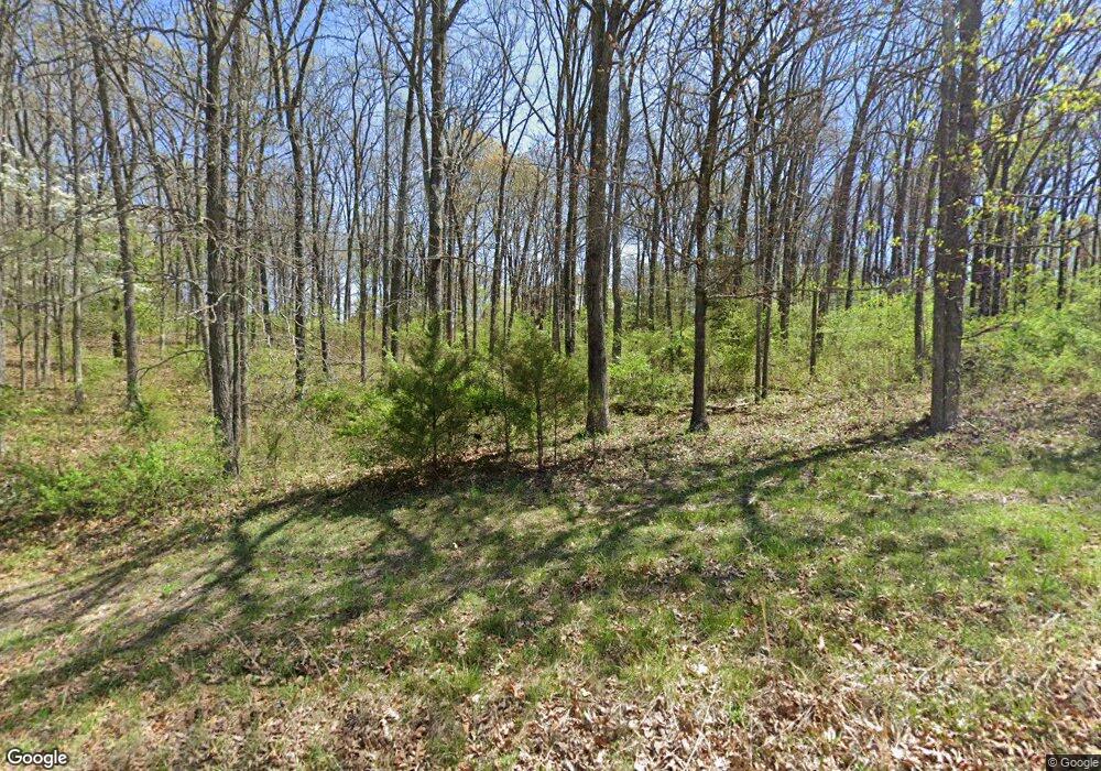
Estimated Value: $496,000 - $639,632
4
Beds
5
Baths
4,400
Sq Ft
$130/Sq Ft
Est. Value
About This Home
This home is located at 1626 Phillips Rd, Nixa, MO 65714 and is currently estimated at $573,544, approximately $130 per square foot. 1626 Phillips Rd is a home located in Christian County with nearby schools including Espy Elementary School, Nicholas A. Inman Intermediate School, and Nixa Junior High School.
Ownership History
Date
Name
Owned For
Owner Type
Purchase Details
Closed on
Jul 28, 2022
Sold by
Ryan Ronald L
Bought by
Gardner Thomas L and Gardner Meagan A
Current Estimated Value
Home Financials for this Owner
Home Financials are based on the most recent Mortgage that was taken out on this home.
Original Mortgage
$537,075
Outstanding Balance
$511,869
Interest Rate
5.78%
Mortgage Type
VA
Estimated Equity
$61,675
Purchase Details
Closed on
Aug 26, 2010
Sold by
Lakin Bryan L and Lakin Willa Dean
Bought by
Ryan Ronald L
Home Financials for this Owner
Home Financials are based on the most recent Mortgage that was taken out on this home.
Original Mortgage
$185,000
Interest Rate
4.55%
Mortgage Type
New Conventional
Create a Home Valuation Report for This Property
The Home Valuation Report is an in-depth analysis detailing your home's value as well as a comparison with similar homes in the area
Purchase History
| Date | Buyer | Sale Price | Title Company |
|---|---|---|---|
| Gardner Thomas L | -- | None Listed On Document | |
| Ryan Ronald L | -- | Choice Escrow & Land Title L |
Source: Public Records
Mortgage History
| Date | Status | Borrower | Loan Amount |
|---|---|---|---|
| Open | Gardner Thomas L | $537,075 | |
| Previous Owner | Ryan Ronald L | $185,000 |
Source: Public Records
Tax History
| Year | Tax Paid | Tax Assessment Tax Assessment Total Assessment is a certain percentage of the fair market value that is determined by local assessors to be the total taxable value of land and additions on the property. | Land | Improvement |
|---|---|---|---|---|
| 2025 | $2,817 | $50,760 | -- | -- |
| 2024 | $2,817 | $47,470 | -- | -- |
| 2023 | $2,817 | $47,470 | $0 | $0 |
| 2022 | $2,707 | $45,570 | $0 | $0 |
| 2021 | $2,709 | $45,570 | $0 | $0 |
| 2020 | $2,577 | $41,450 | $0 | $0 |
| 2019 | $2,577 | $41,020 | $0 | $0 |
| 2018 | $2,278 | $39,510 | $0 | $0 |
| 2017 | $2,278 | $39,510 | $0 | $0 |
| 2016 | $2,240 | $39,510 | $0 | $0 |
| 2015 | $2,243 | $39,510 | $39,510 | $0 |
| 2014 | $2,180 | $39,420 | $0 | $0 |
| 2013 | $2,183 | $39,420 | $0 | $0 |
| 2011 | -- | $78,600 | $0 | $0 |
Source: Public Records
Map
Nearby Homes
- 1744 W Montana Ct
- 1651 Emerald Hills Dr
- 2140 W Homestead Ct
- Lot #4 N Ginger Ln
- 2025 N Equestrian Ln
- 1518 Coach House Ct
- 2069 Preakness Dr
- 1522 W Porterfield Dr
- 2080 N Preakness Dr
- 3396 W Bluffview St
- 6542 S Riverbridge Rd
- 120 N Nicholas Rd
- 1245 Cole Alan Ct
- 2063 Olde Gate Rd
- 20 Acres N Carroll Rd
- 20 Acres N Carroll Rd
- 5 Ac Dewberry Rd
- 3182 W Bluffview St
- 3262 W Bluffview St
- 1237 Will Aven Ct
- 1626 N Phillips Rd
- 0 Phillips Rd Unit 60031932
- 0 Phillips Rd Unit 60137512
- 002 Phillips Rd
- 000 Phillips Rd
- 1605 N Phillips Rd
- 1689 N Phillips Rd
- 1651 N Phillips Rd
- 1946 W Chesapeake Rd
- 1708 N Phillips Rd
- 1998 W Chesapeake Ct
- 1725 N Phillips Rd
- 0 W Chesapeake Unit 60031923
- 1775 Wyoming Ct
- 1960 W Chesapeake Rd
- 1905 W Charleston Ct
- 1937 W Charleston Ct
- 2088 W Charleston Ct
- 1727 Wyoming Ct
- 1759 Wyoming Ct
